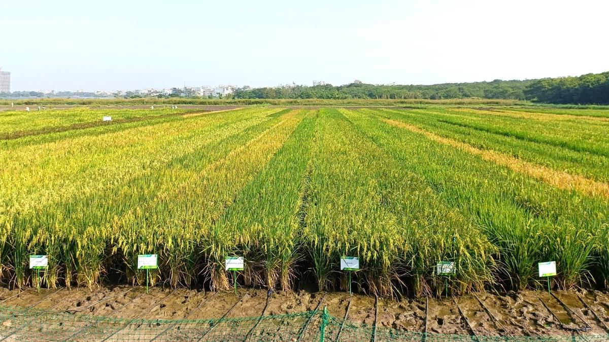
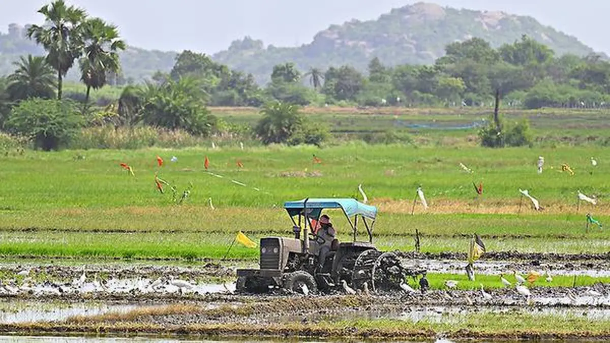
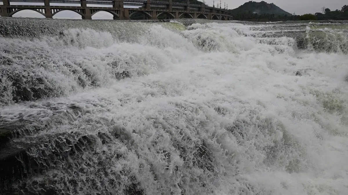
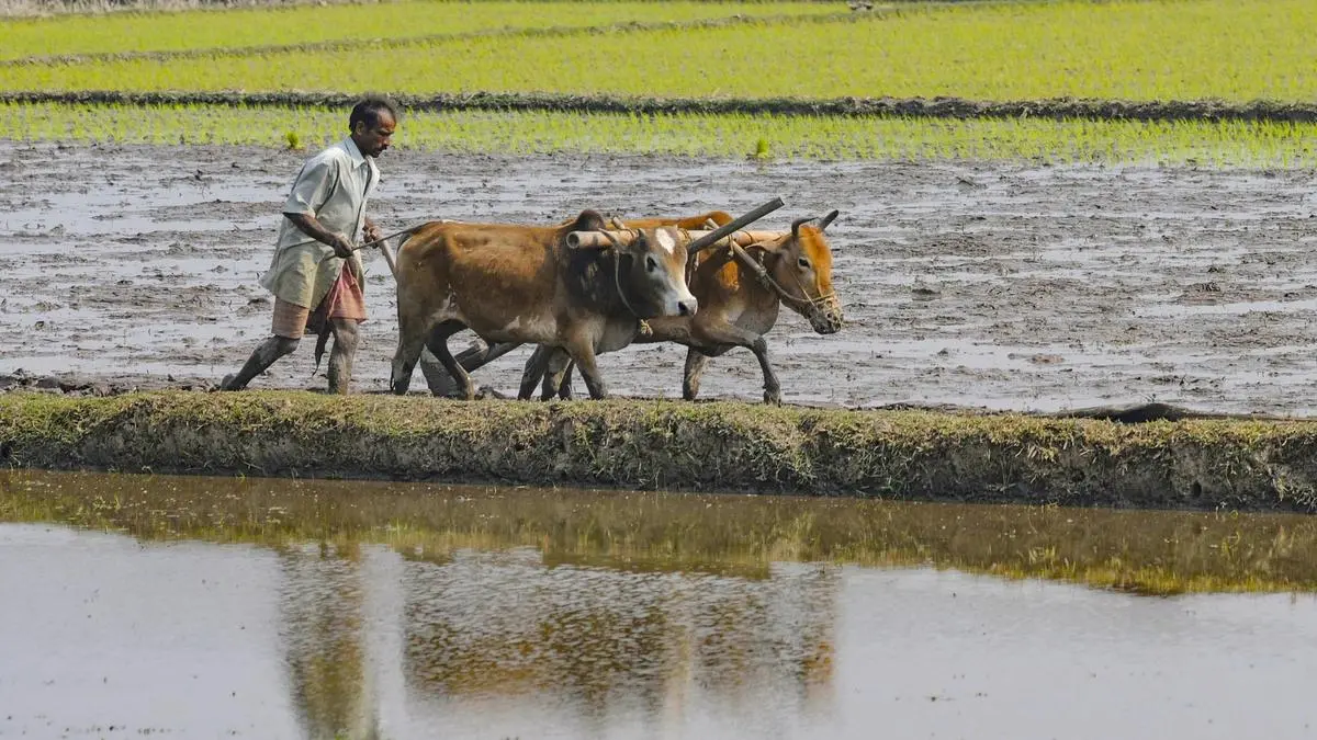
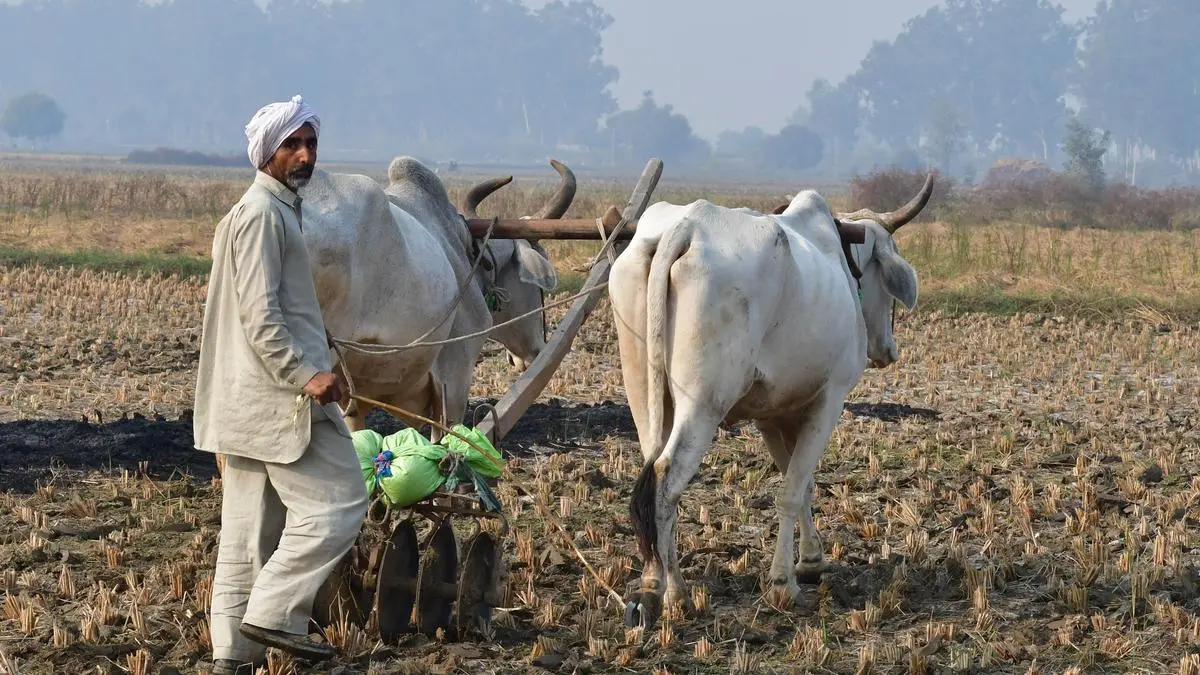
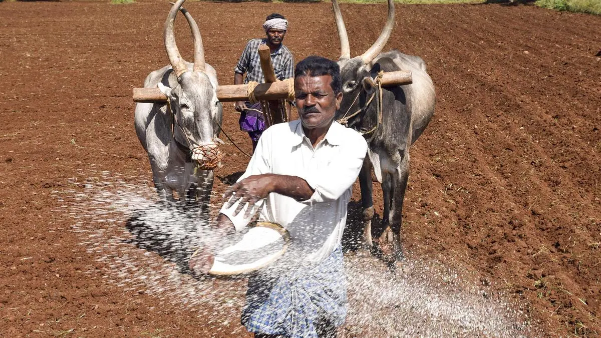
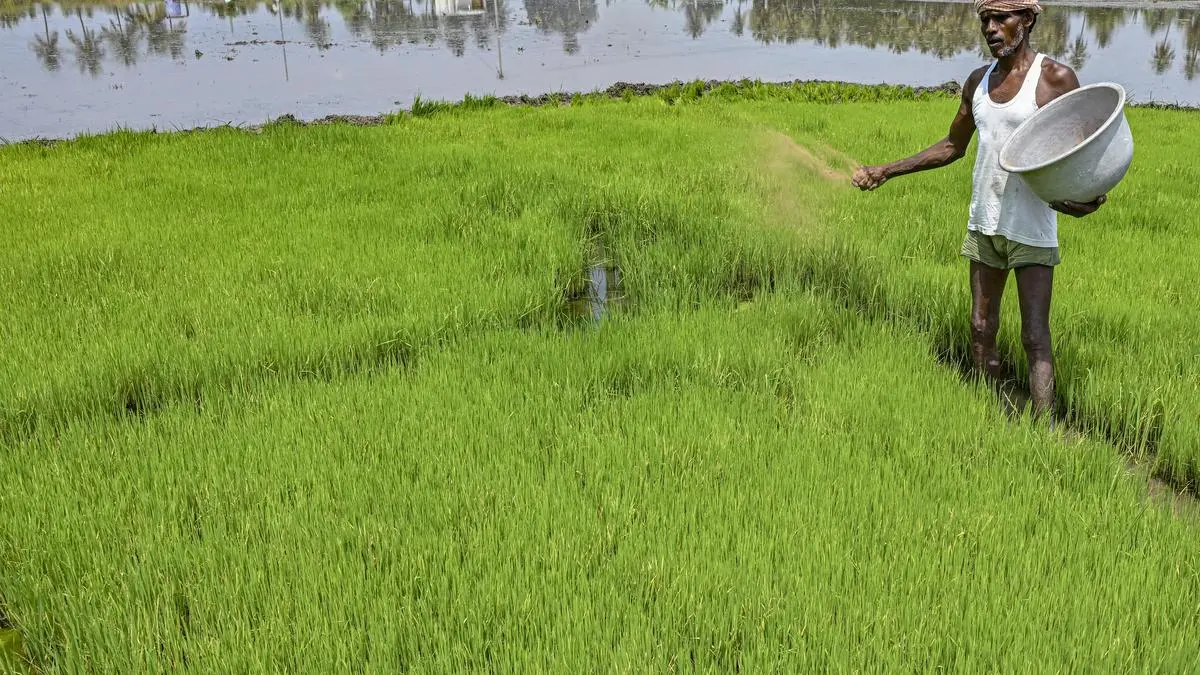
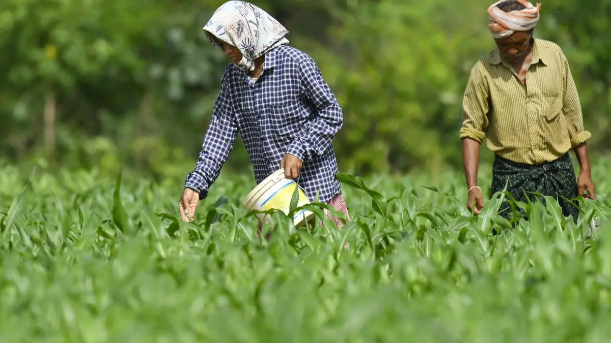
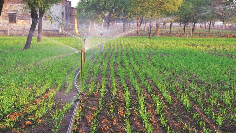
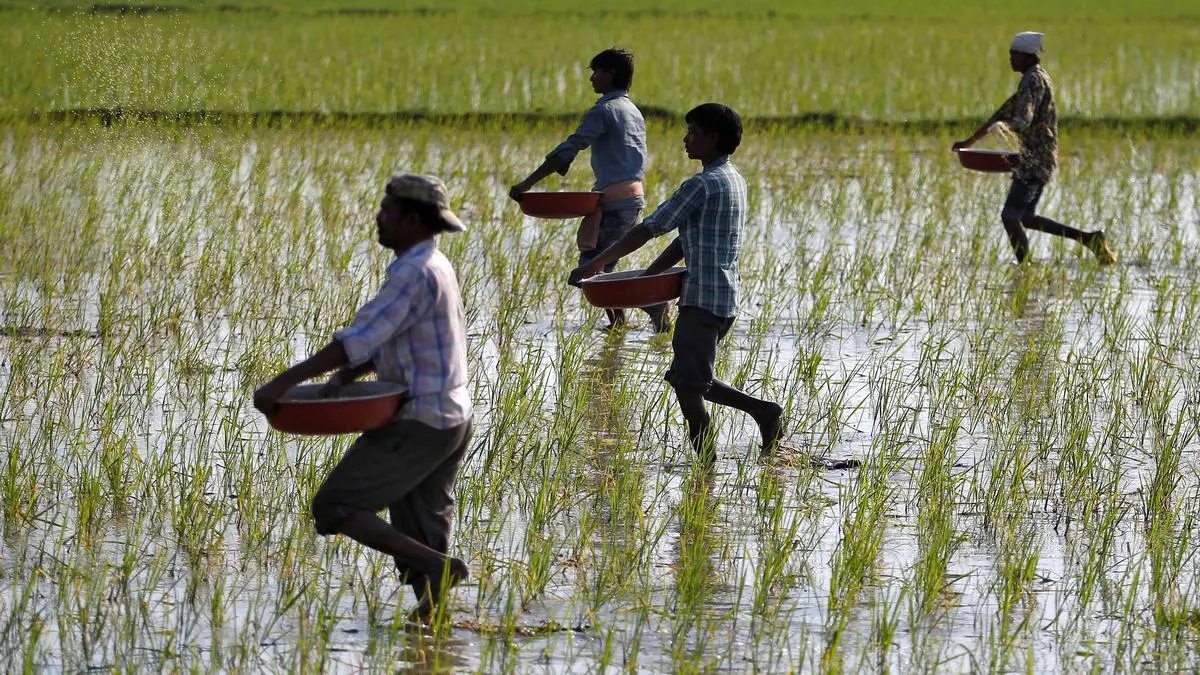
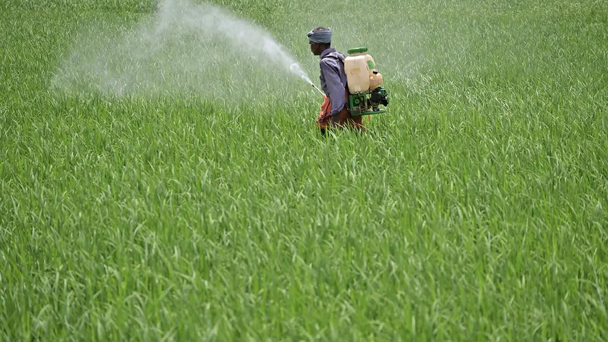
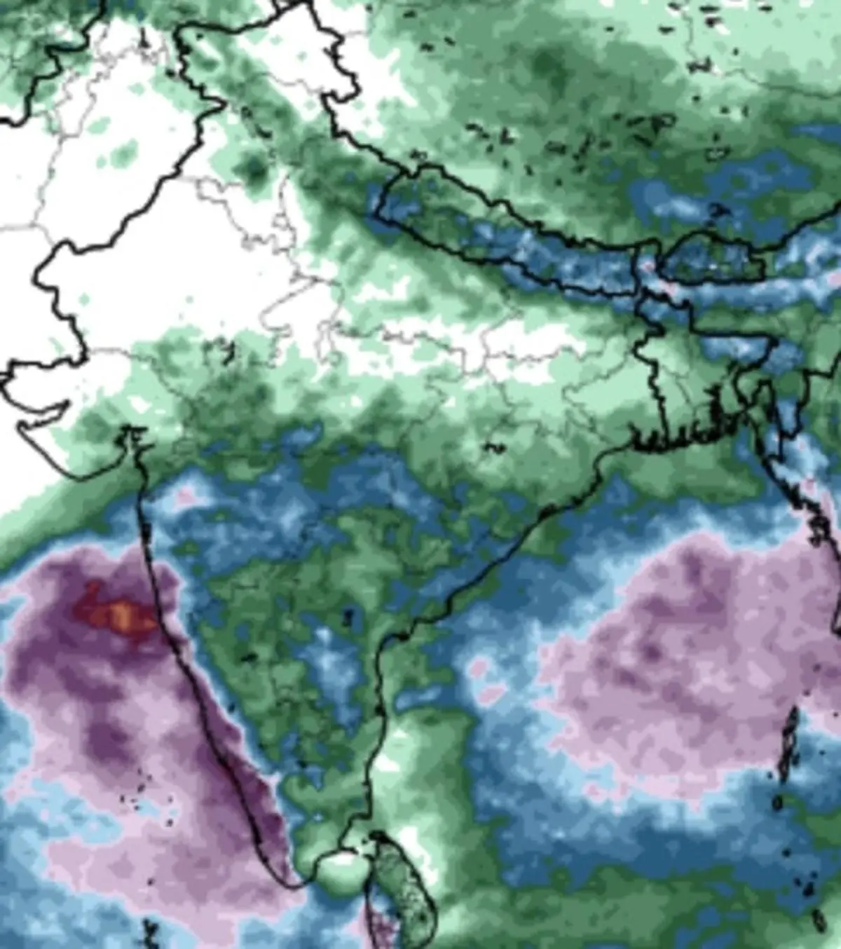
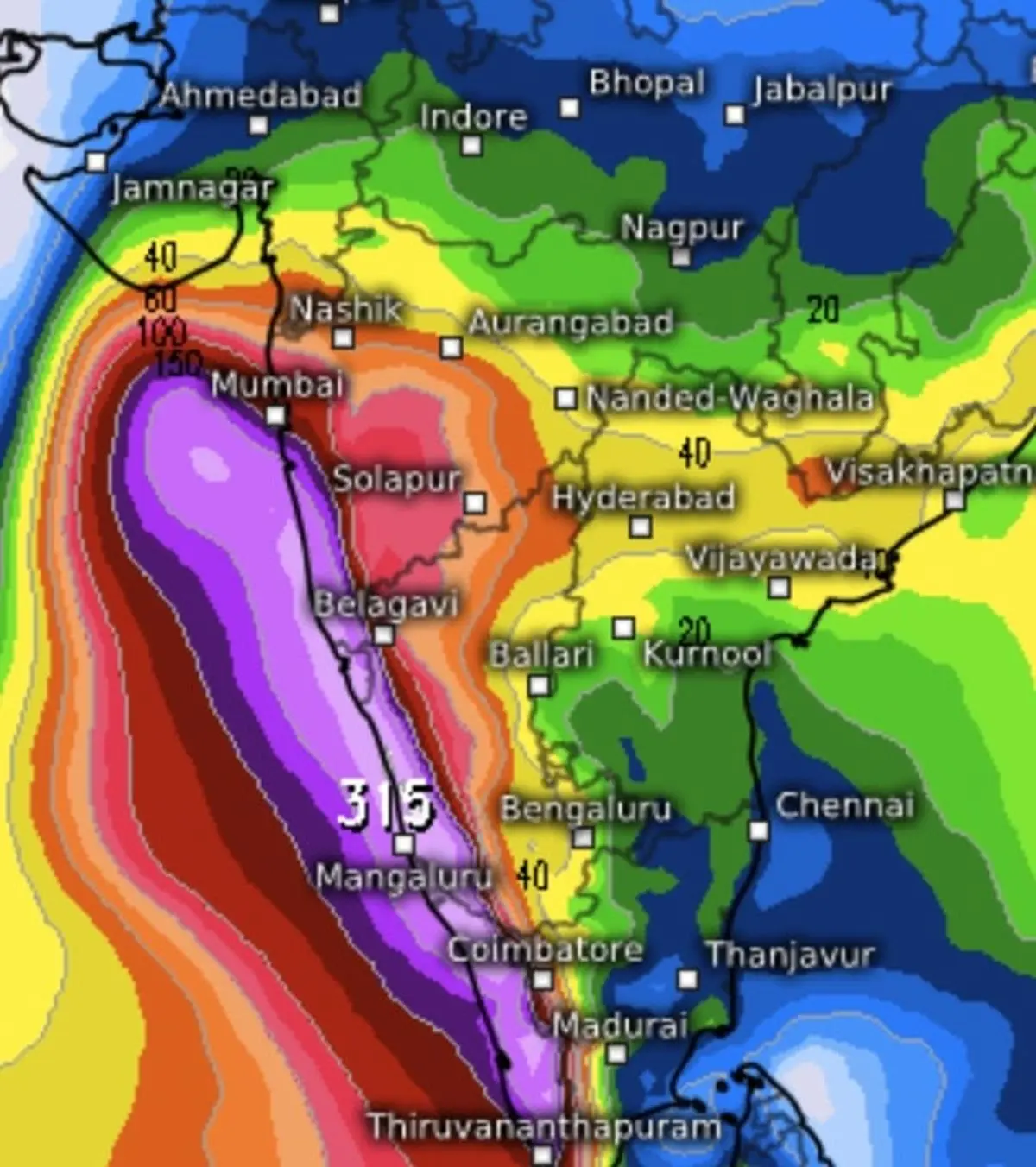
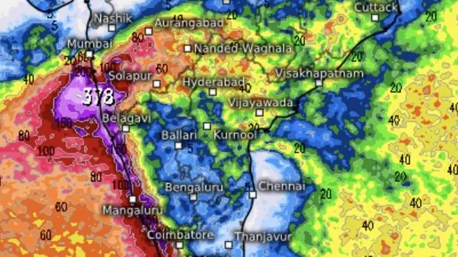
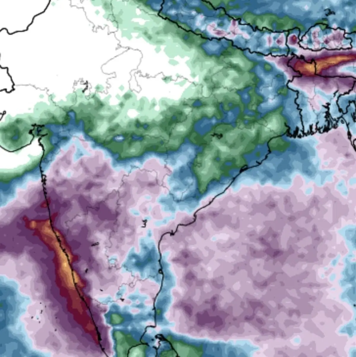
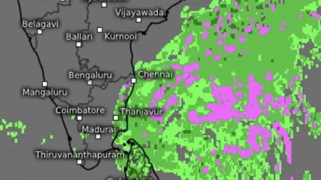
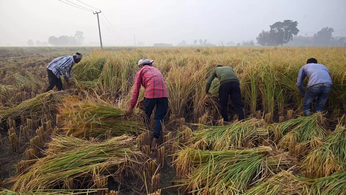
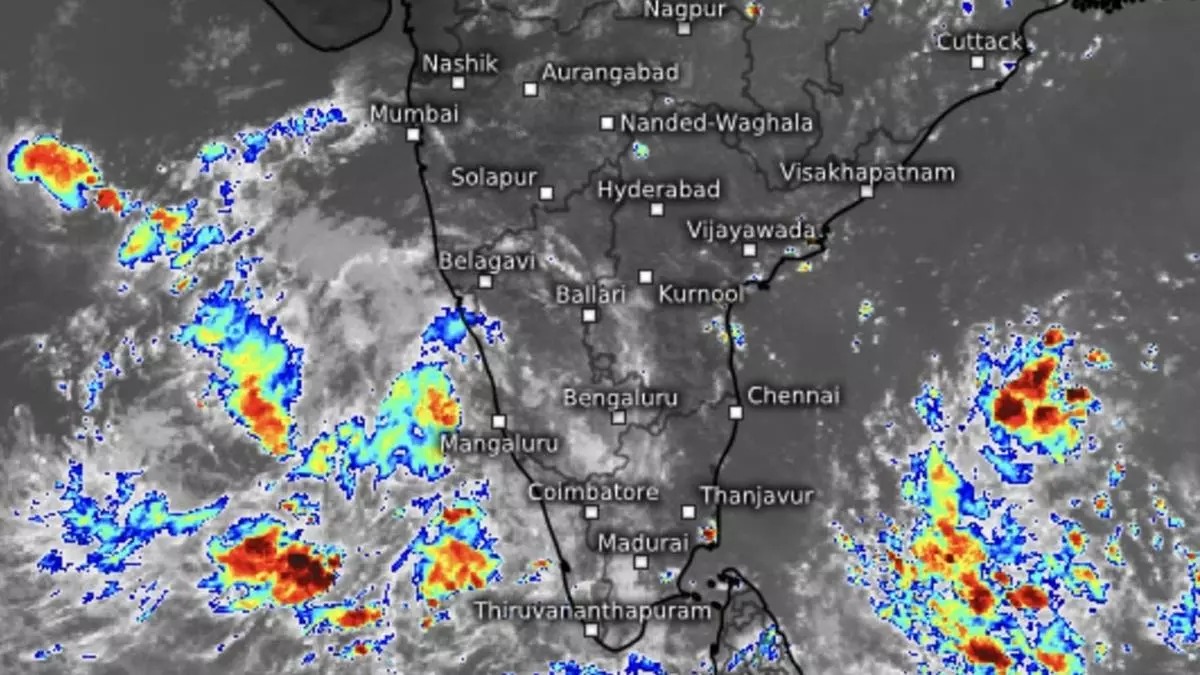
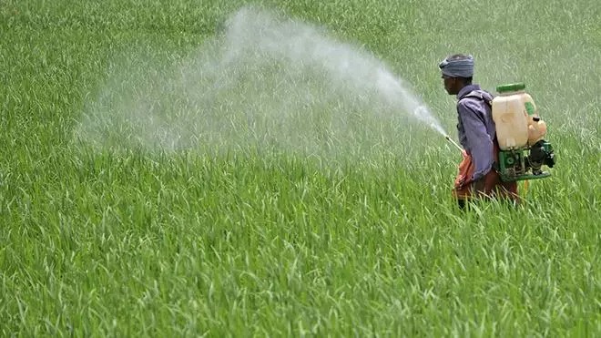
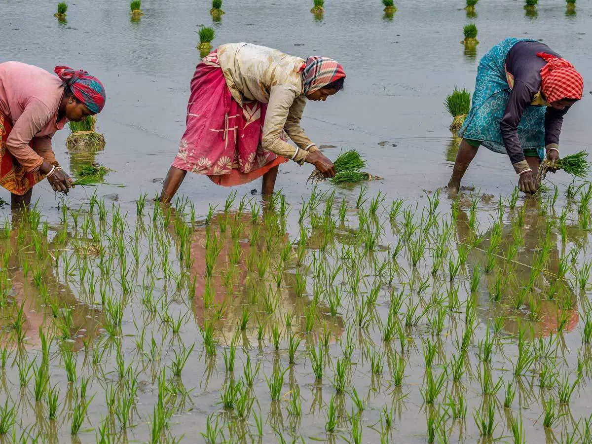
The monsoon made impressive gains over north-western and eastern parts of the country on Wednesday as it advanced into some parts of Rajasthan and East Uttar Pradesh; some more parts of Madhya Pradesh and Bihar; and remaining parts of Chhattisgarh and Jharkhand, with its northern limit reaching Barmer, Jodhpur, Jaipur, Gwalior, Khajuraho, Sonbhadra and Gaya.
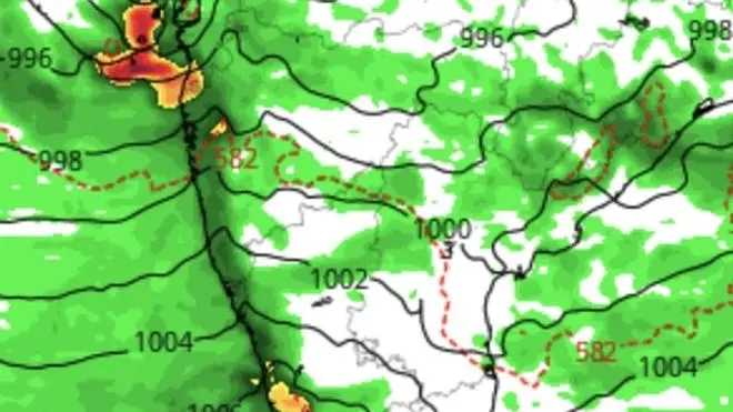
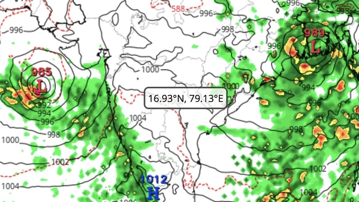
This was achieved on a productive platform provided by a well-marked low-pressure area over plains of West Bengal and a twin low-pressure area over West Rajasthan. A western disturbance persisted with its axis unchanged from its location over Sriganganagar, while a helpful trough linked Punjab with north Gujarat across a cyclonic circulation over West Rajasthan.
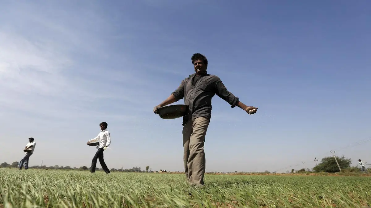
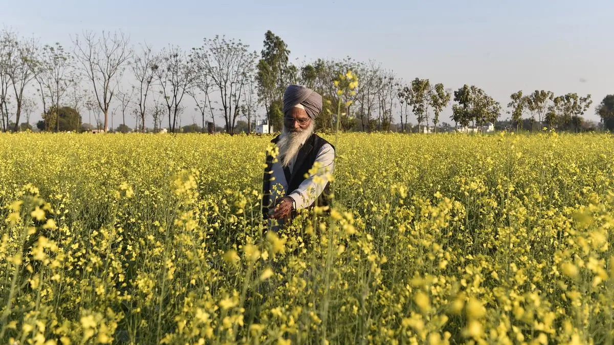
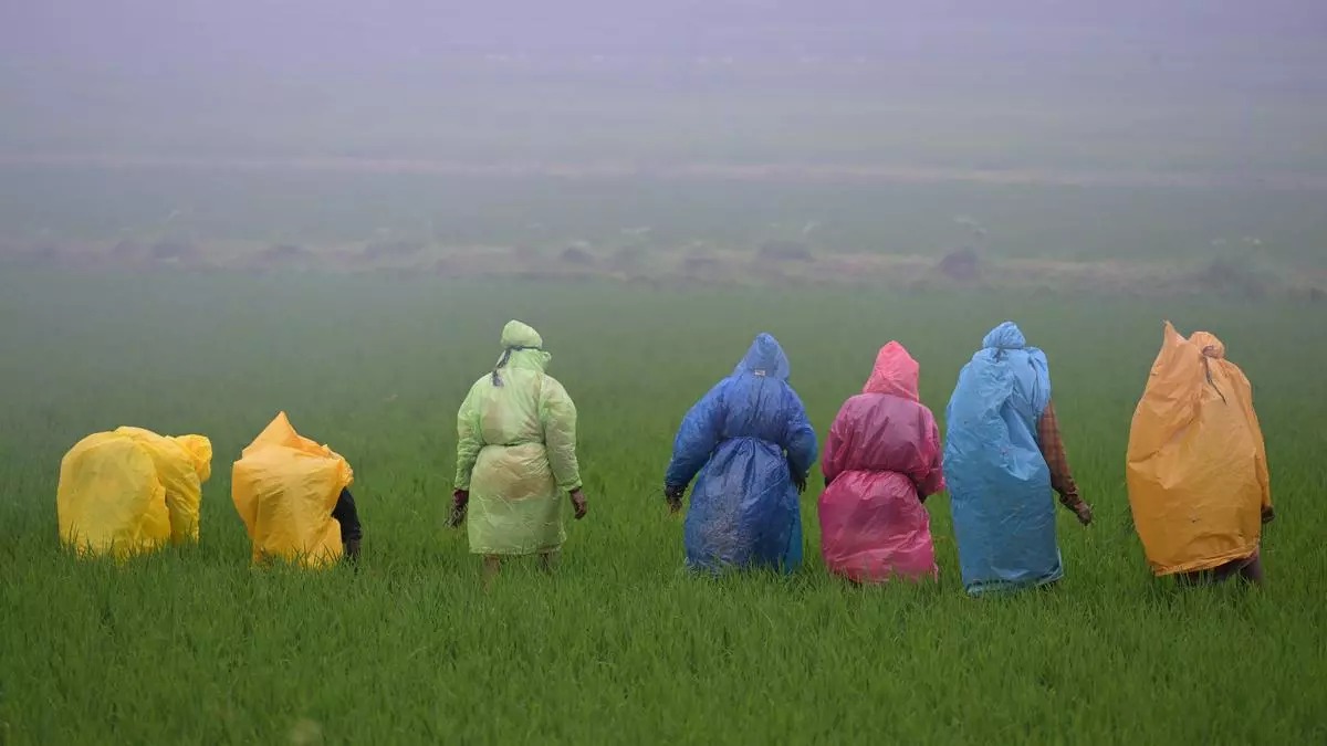
India Meteorological Department (IMD) said conditions are favourable for further advance of monsoon over some more parts of Rajasthan and Uttar Pradesh; remaining parts of Madhya Pradesh and Bihar; some parts of Uttarakhand, Himachal Pradesh and Jammu-Kashmir-Ladakh during next 2-3 days, extending coverage to most parts of the country during this period.