From foundational tryst with coconut groves in Kerala 1969 to national infrastructure platforms and rural employment missions, GeoAI journey reflects continuity of purpose, showcasing how public investment in science powered by entrepreneurial energy and digital governance can turn technology for public good.
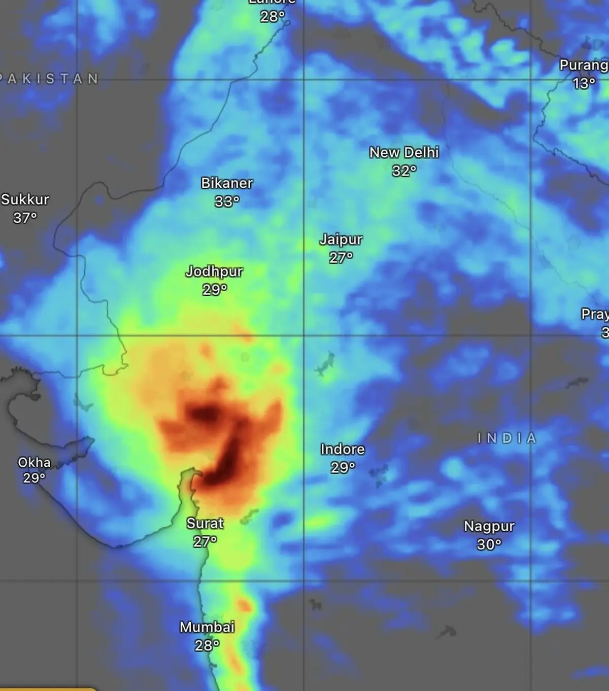
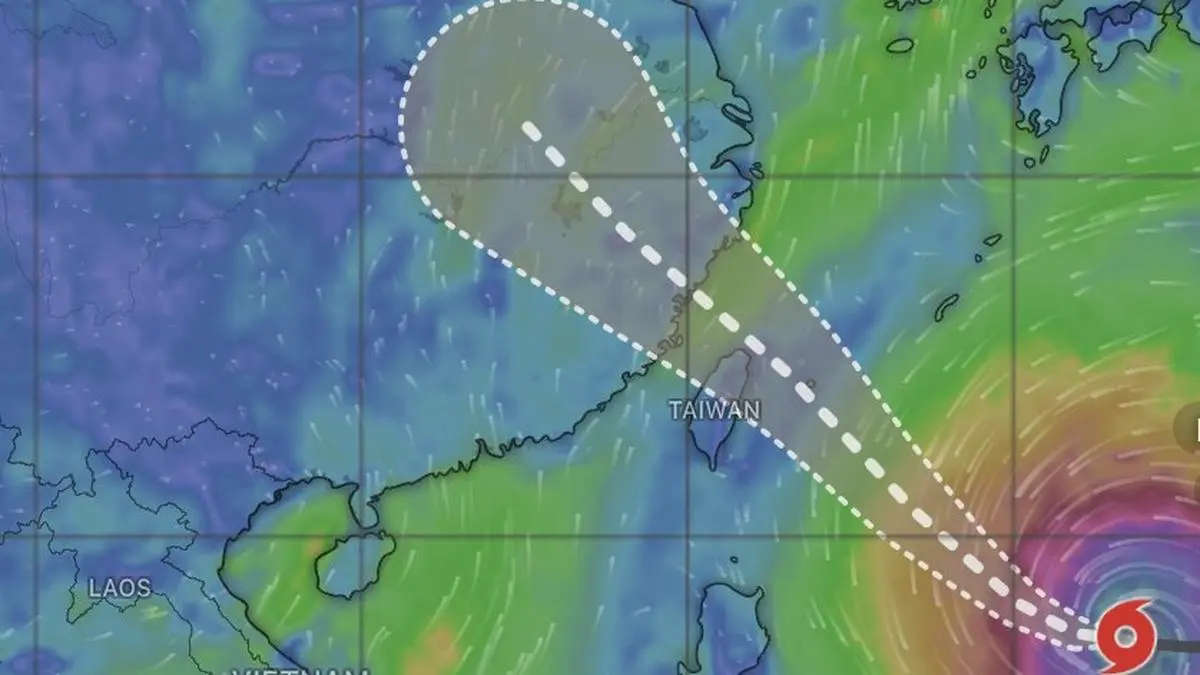
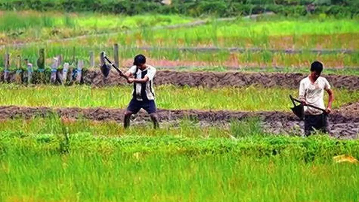
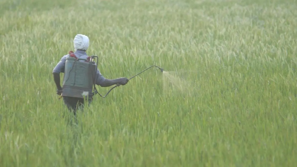
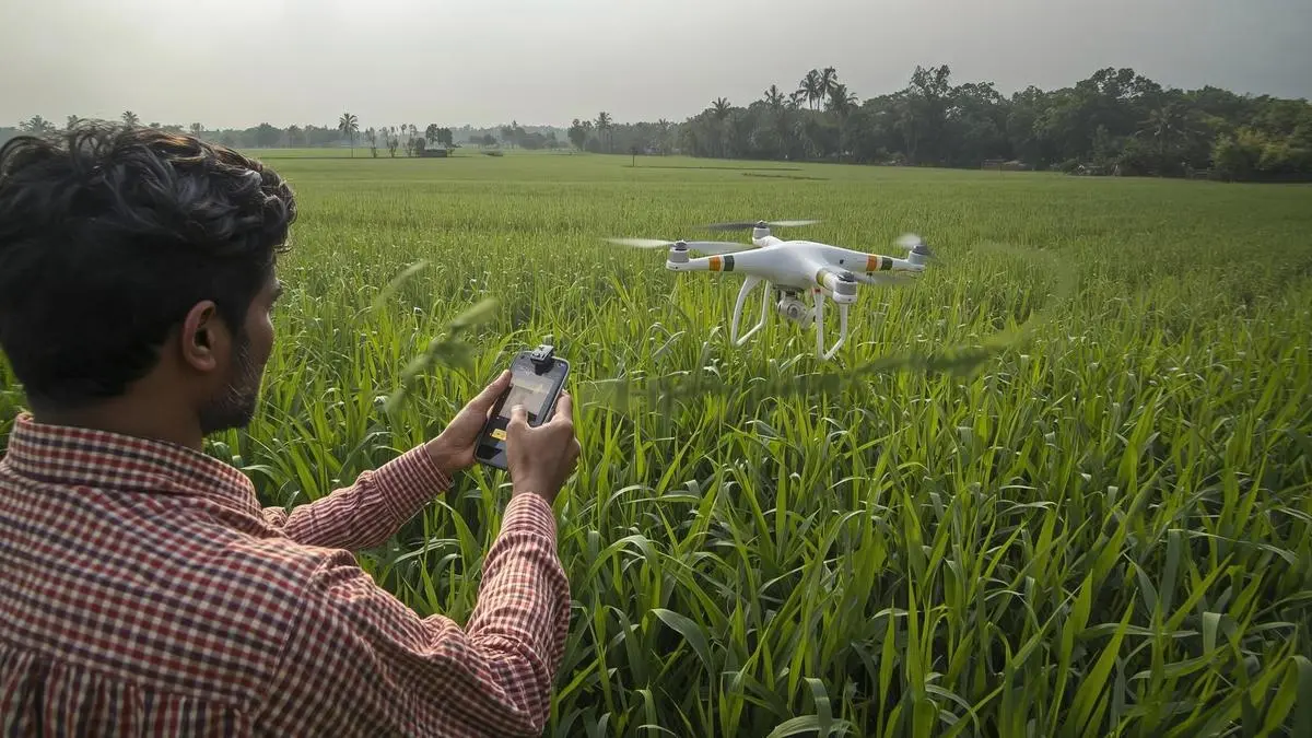
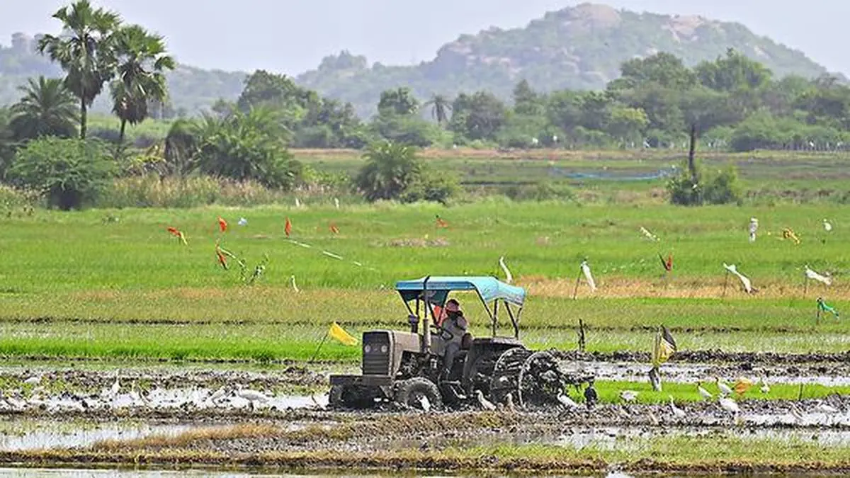
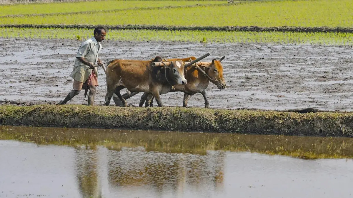
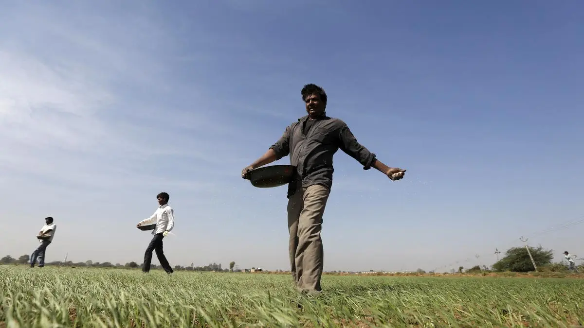
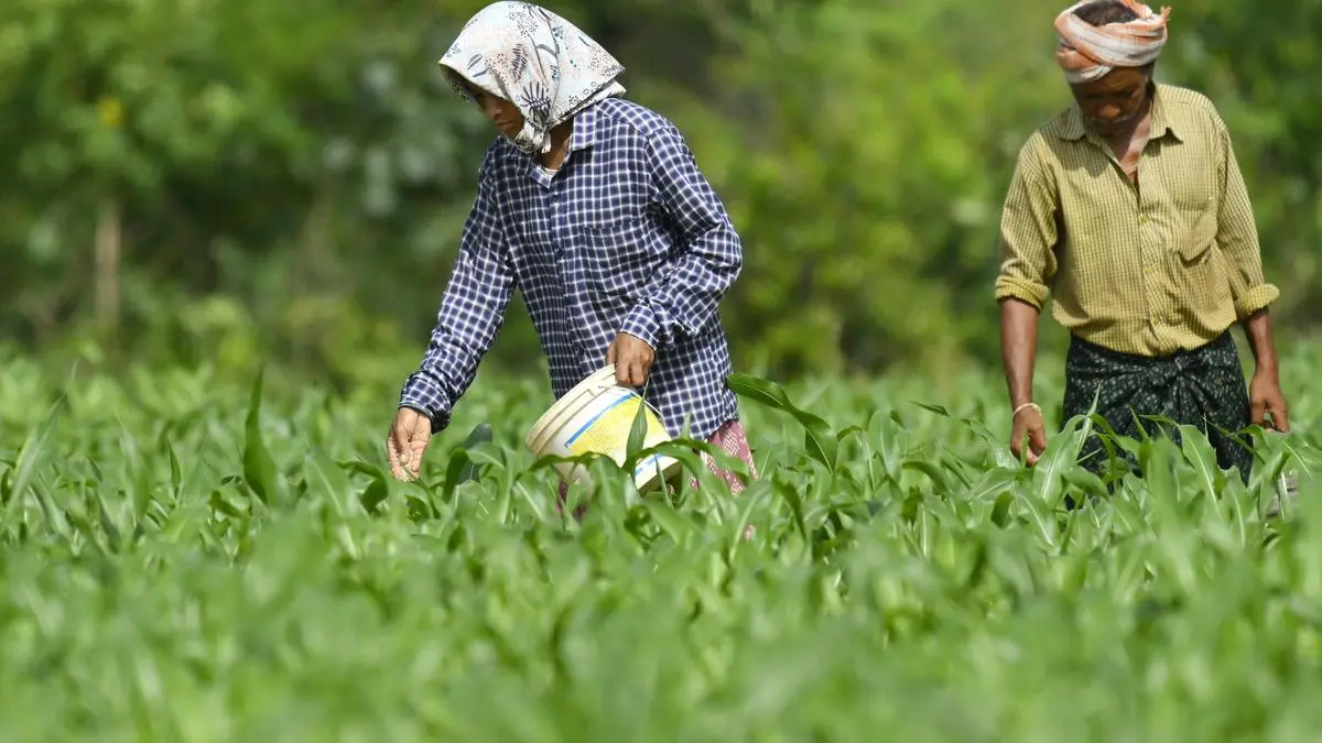
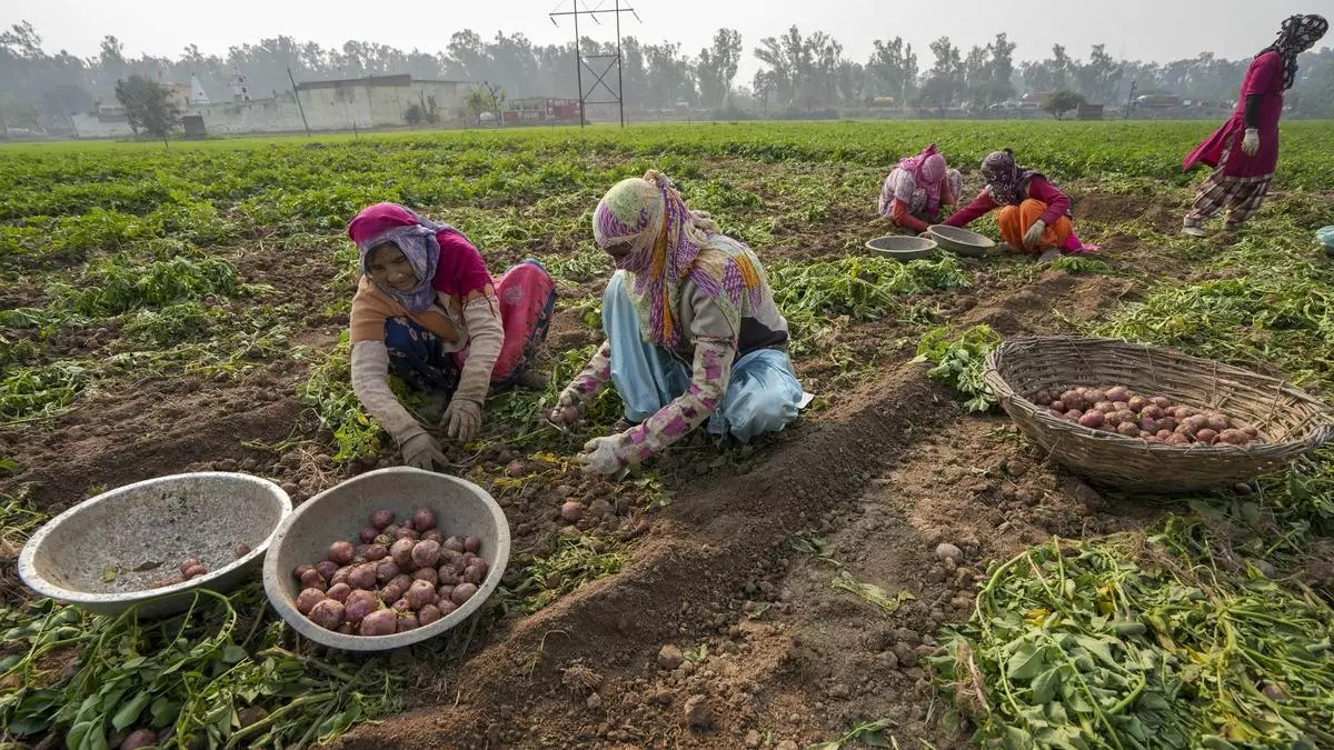
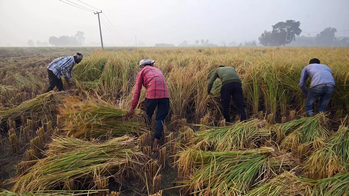
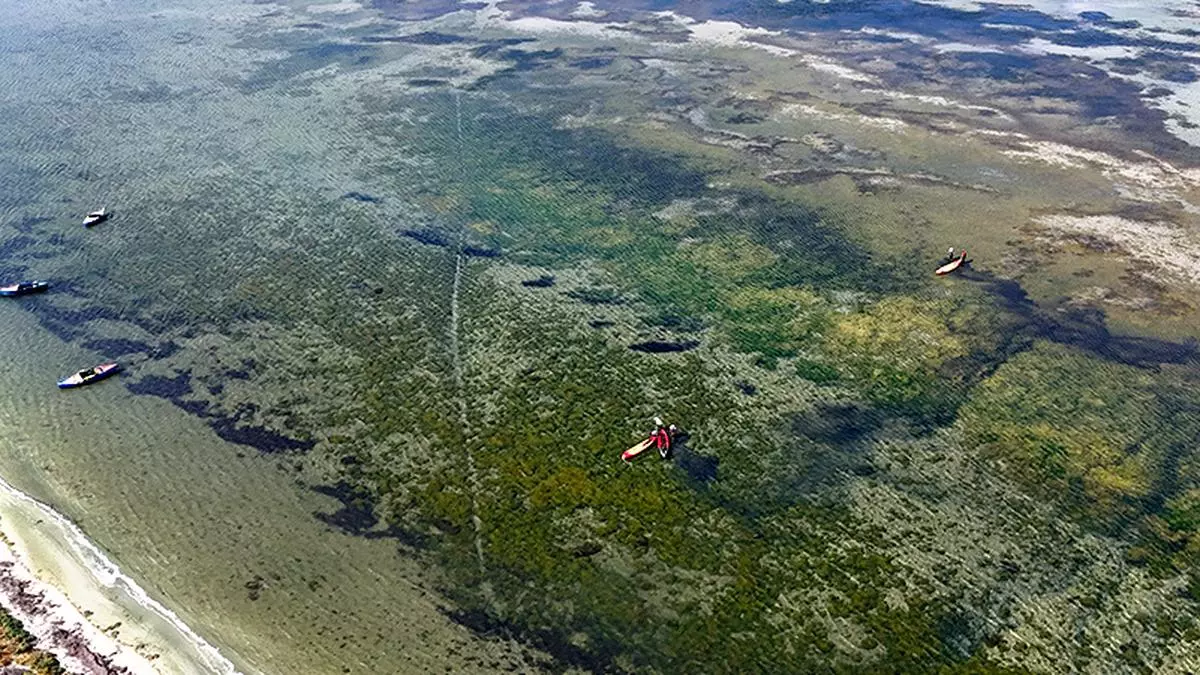
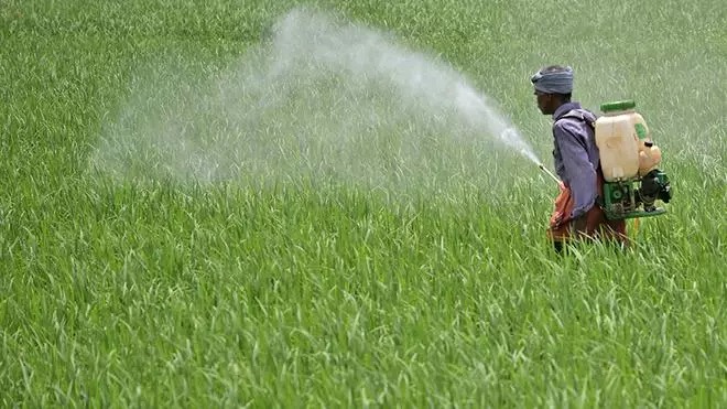
Geospatial evolution has been more about service delivery, inclusion and resilience, translating pixels captured hundreds of kilometres above Earth into actionable insights for farmers, engineer and, planners says Sanjay Srivastava, S Radhakrishnan Chair Professor at National Institute of Advanced Studies, IISc, Bengaluru.
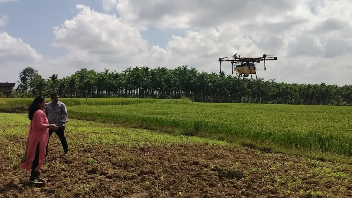
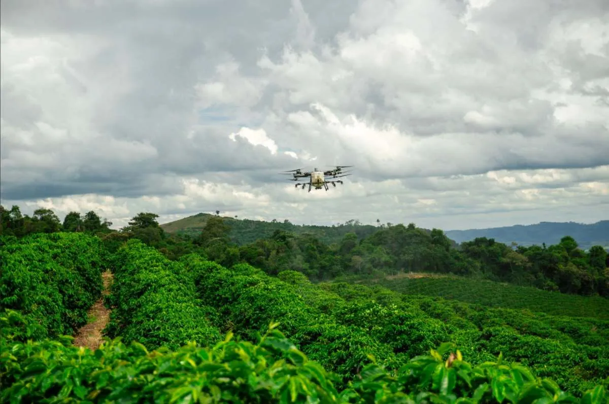
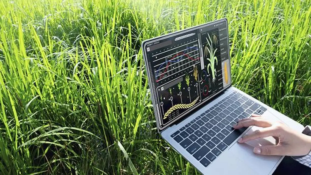
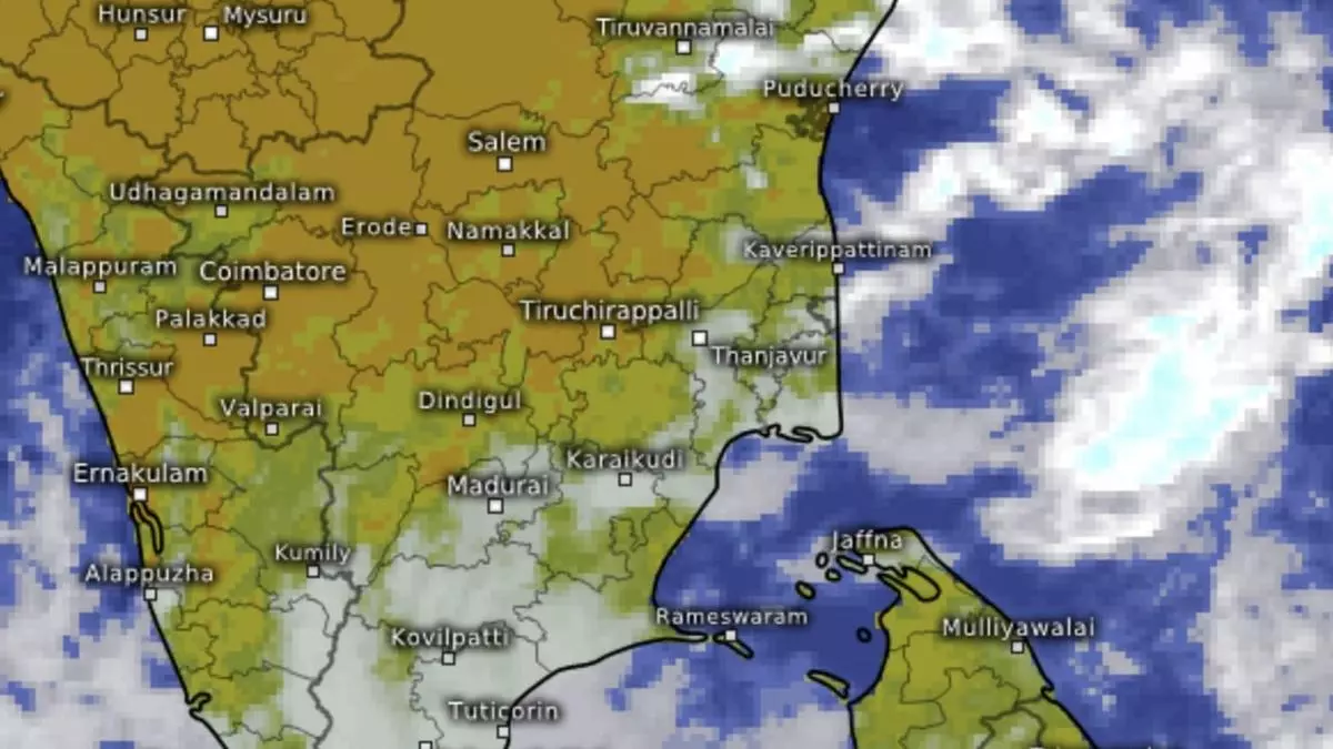
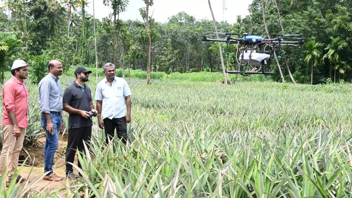
In GeoAI, geospatial data converges with artificial intelligence (AI). It enables machines to learn patterns from imagery and spatial data, detect anomalies, predict outcomes and automate decision support at scale, he explained to businessline.