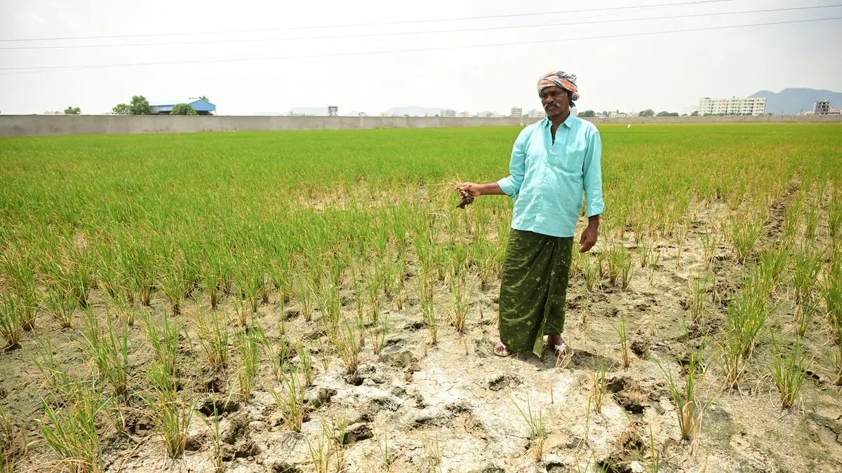
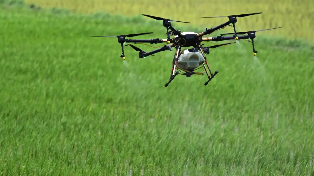
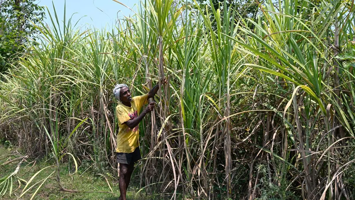
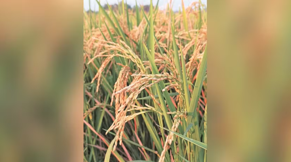
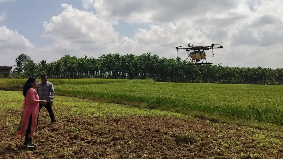
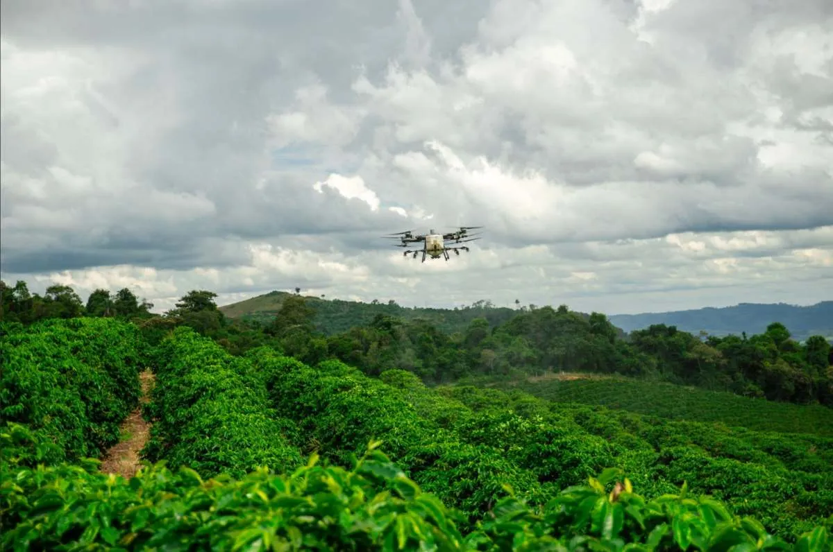
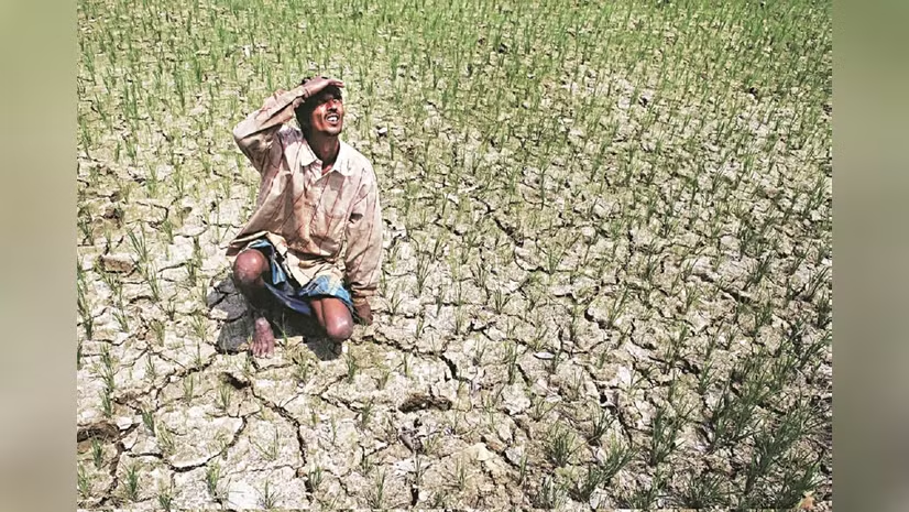
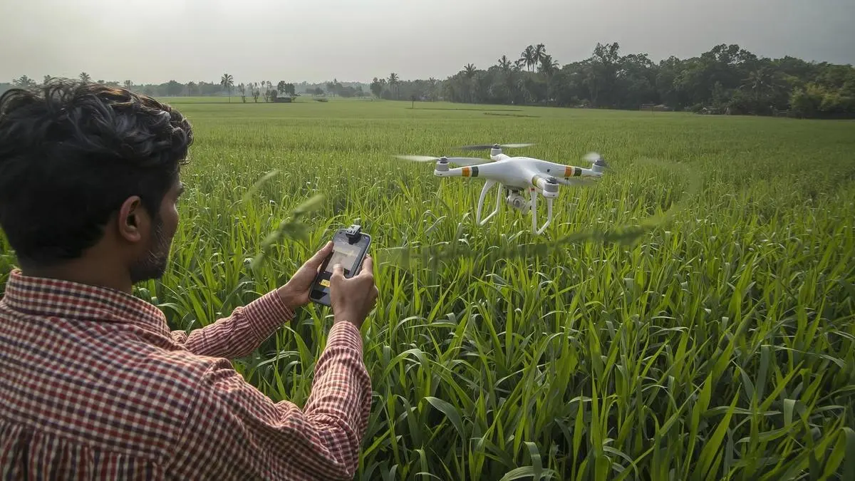
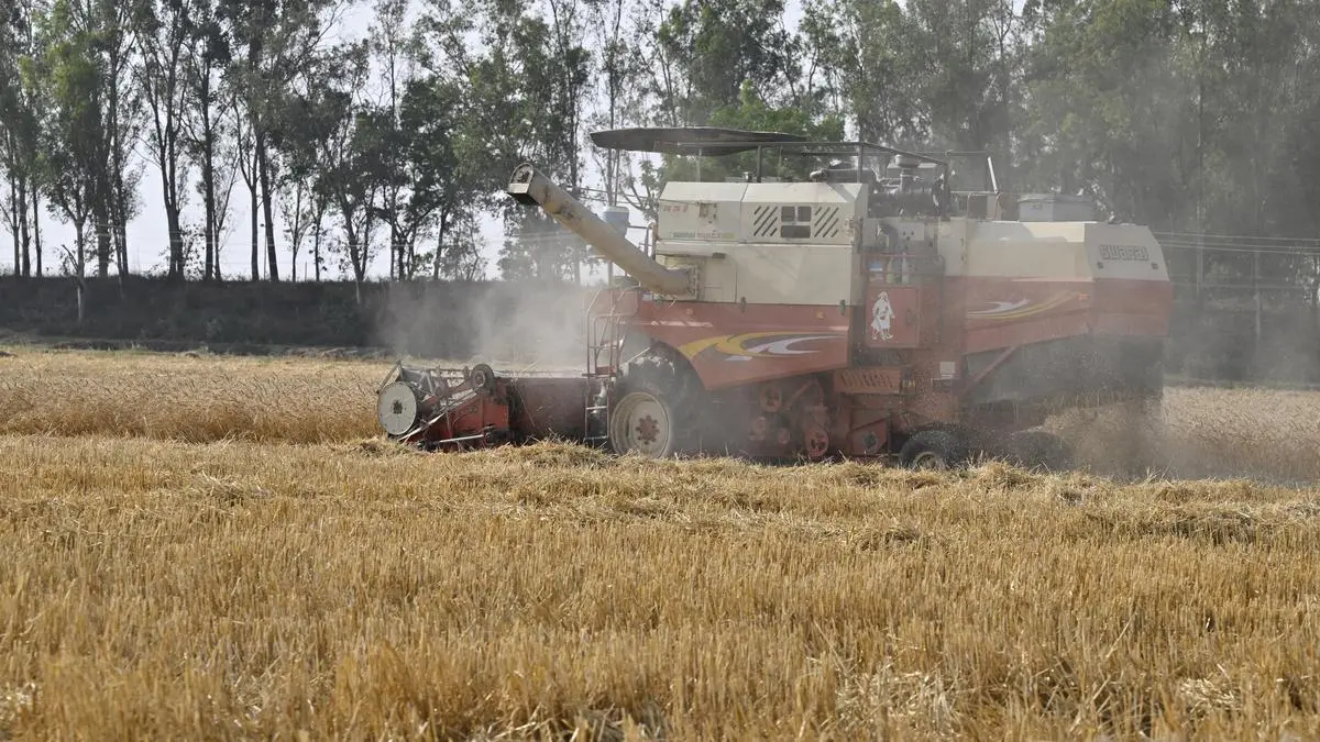
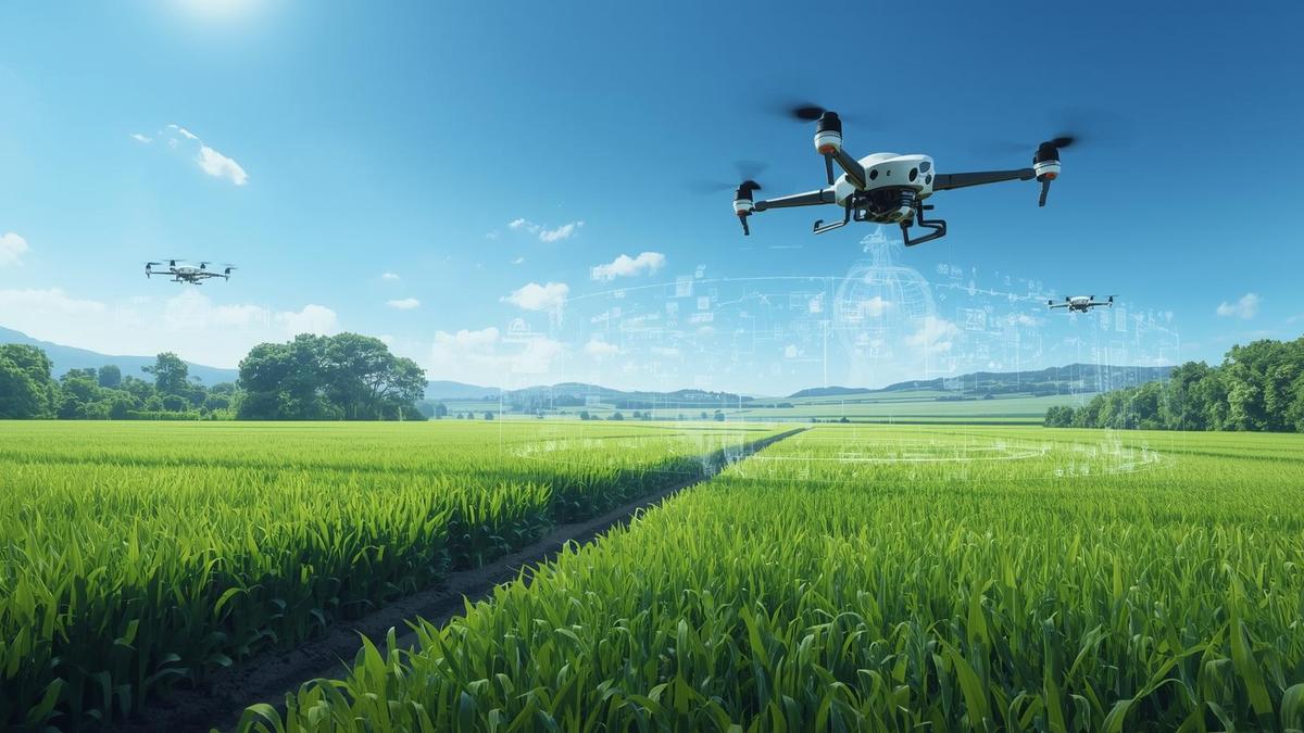
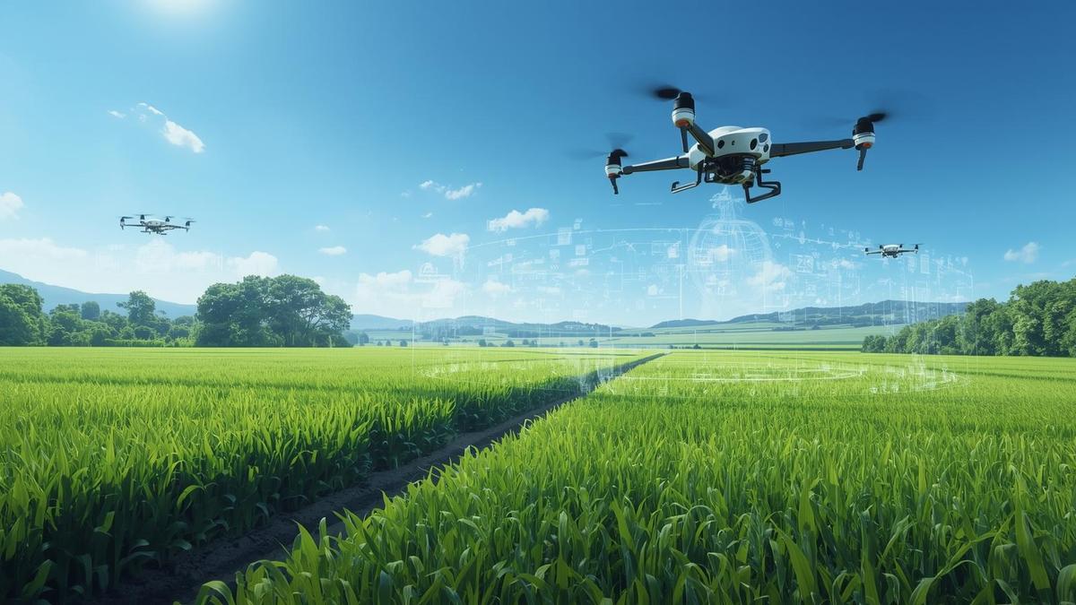
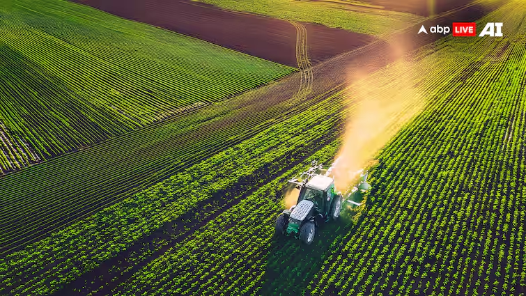
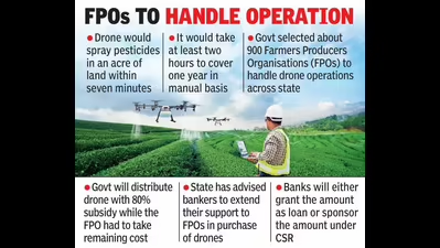
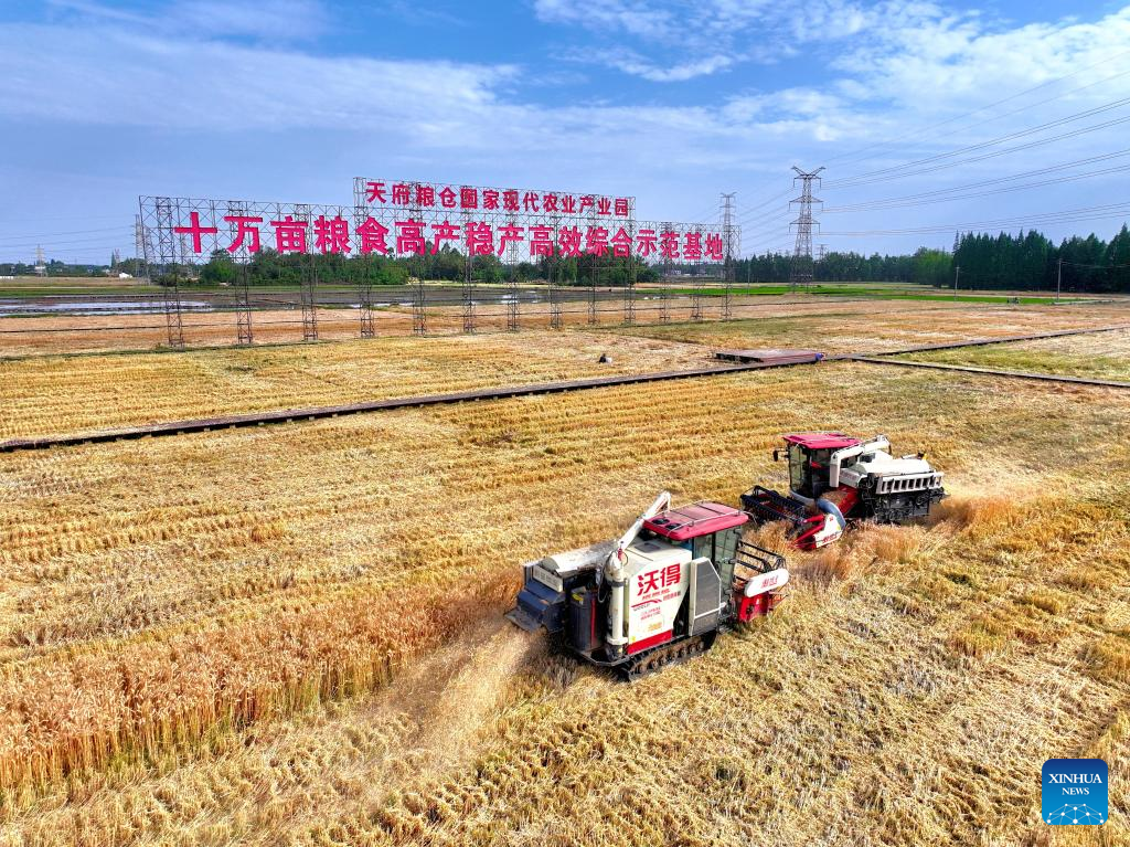
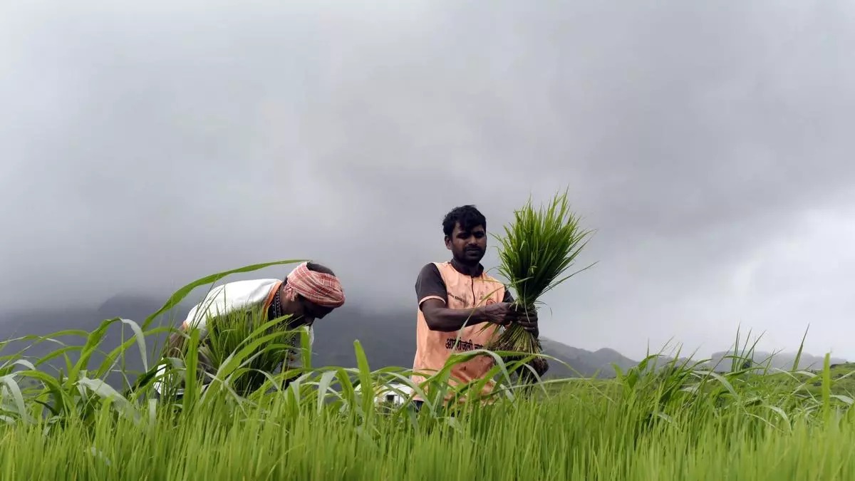
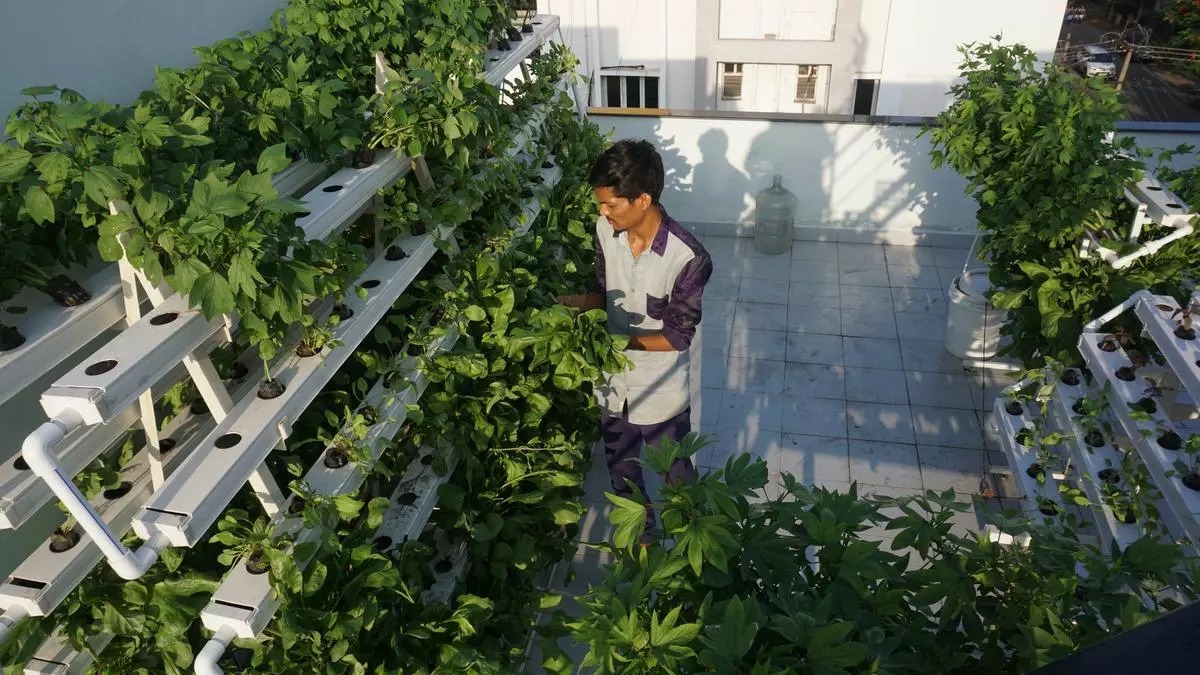
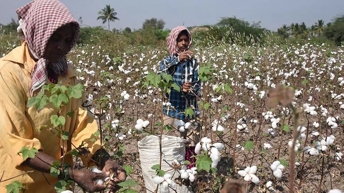
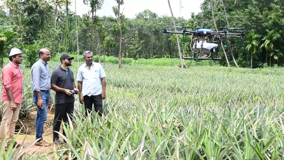
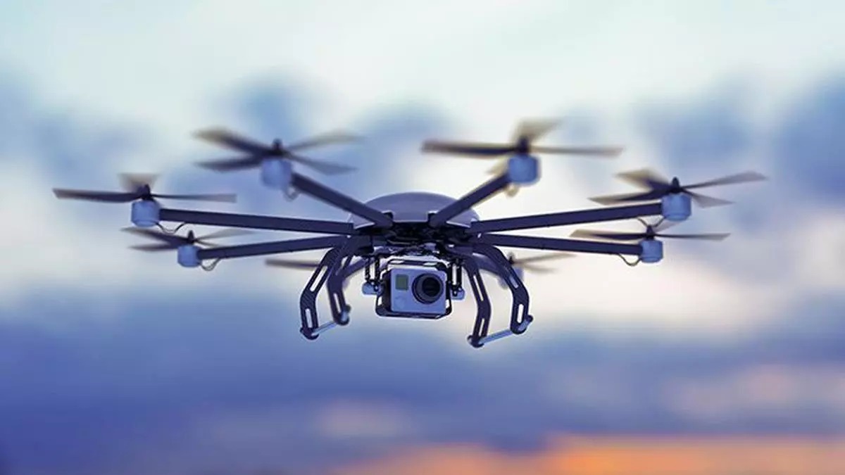
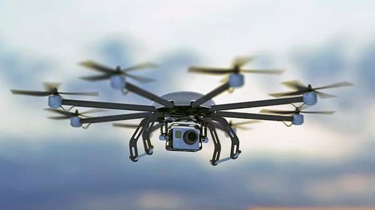
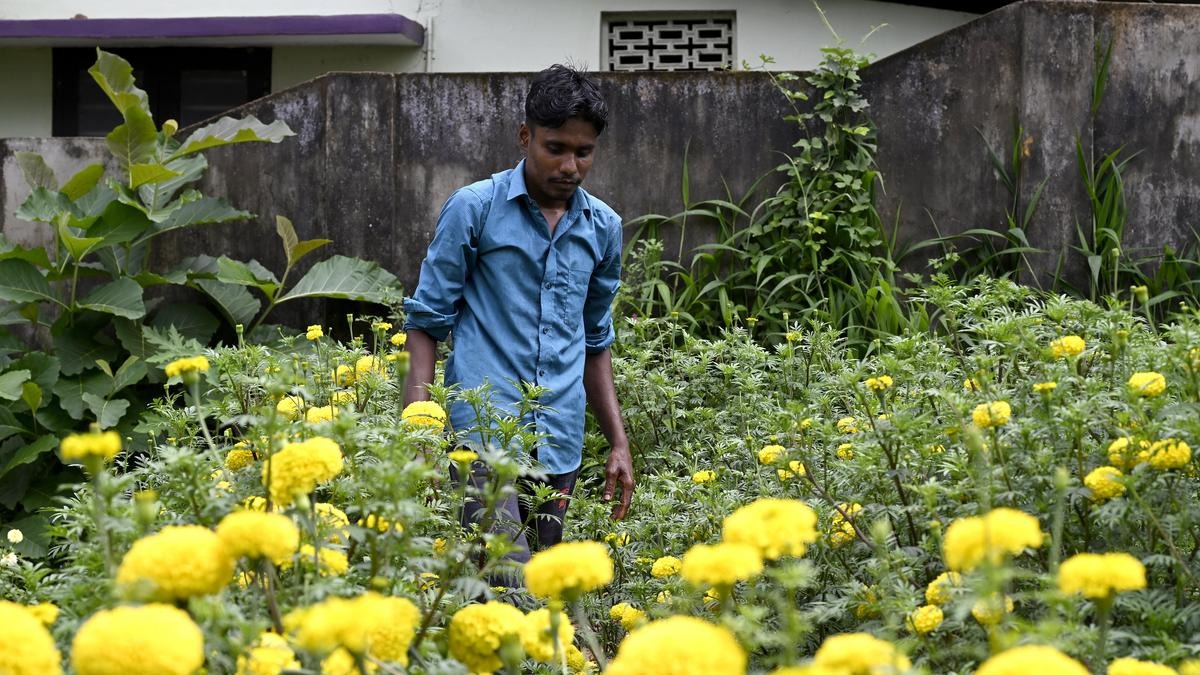
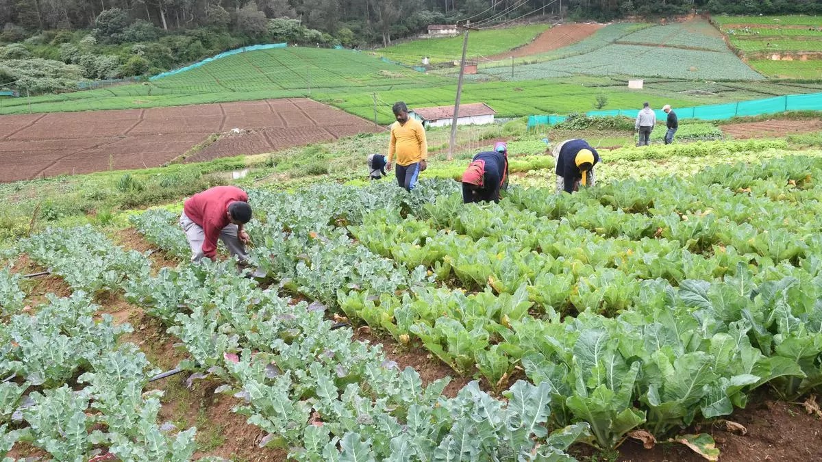
A farmer can usually tell when a crop is in trouble, but often only when the damage is visible. By the time yellowing shows up across a patch or pests are clearly spreading, the problem has already had time to grow. That delay is exactly what drones are helping reduce. A recent government update on India’s drone ecosystem noted that as of February 2026, there were 38,500-plus registered drones, 39,890 DGCA-certified remote pilots, and 244 approved training organisations. These numbers matter because precision farming cannot scale if drones remain a niche tool with limited trained operators.
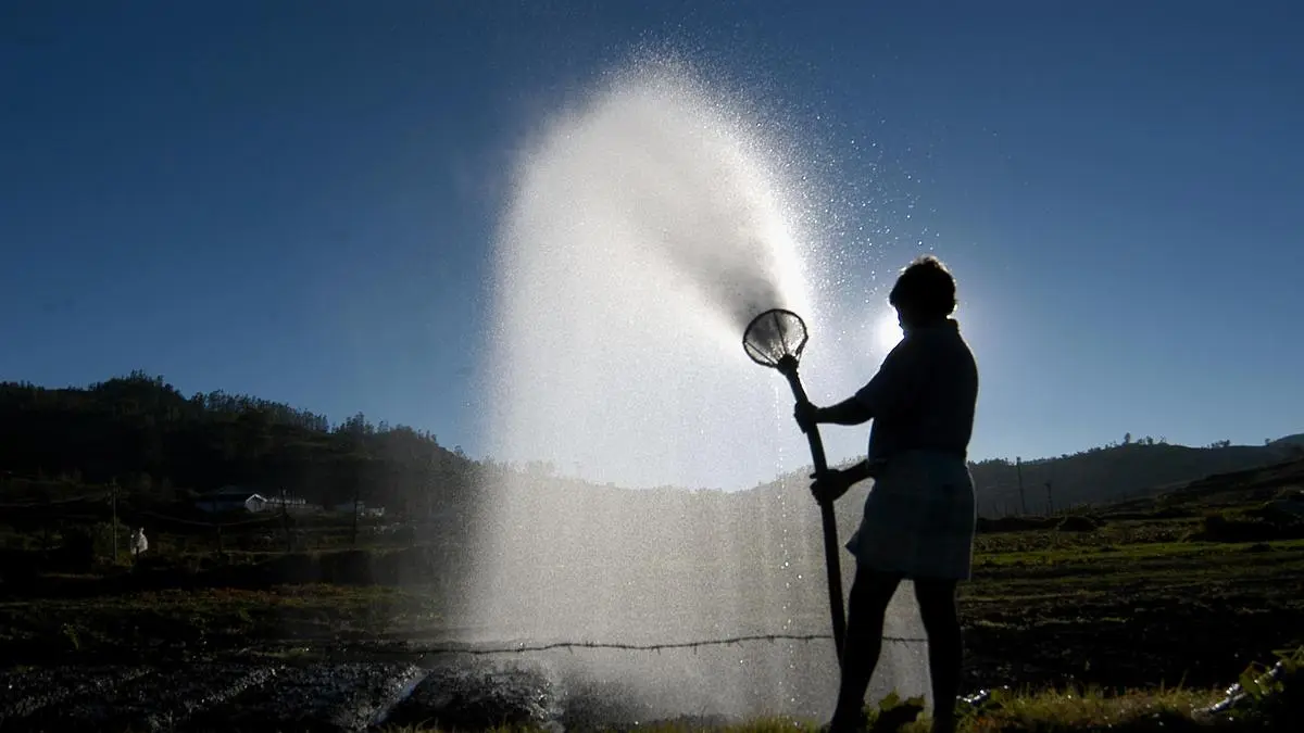
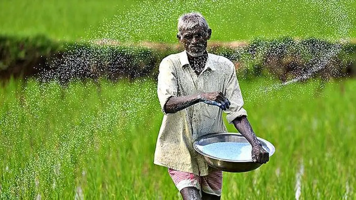
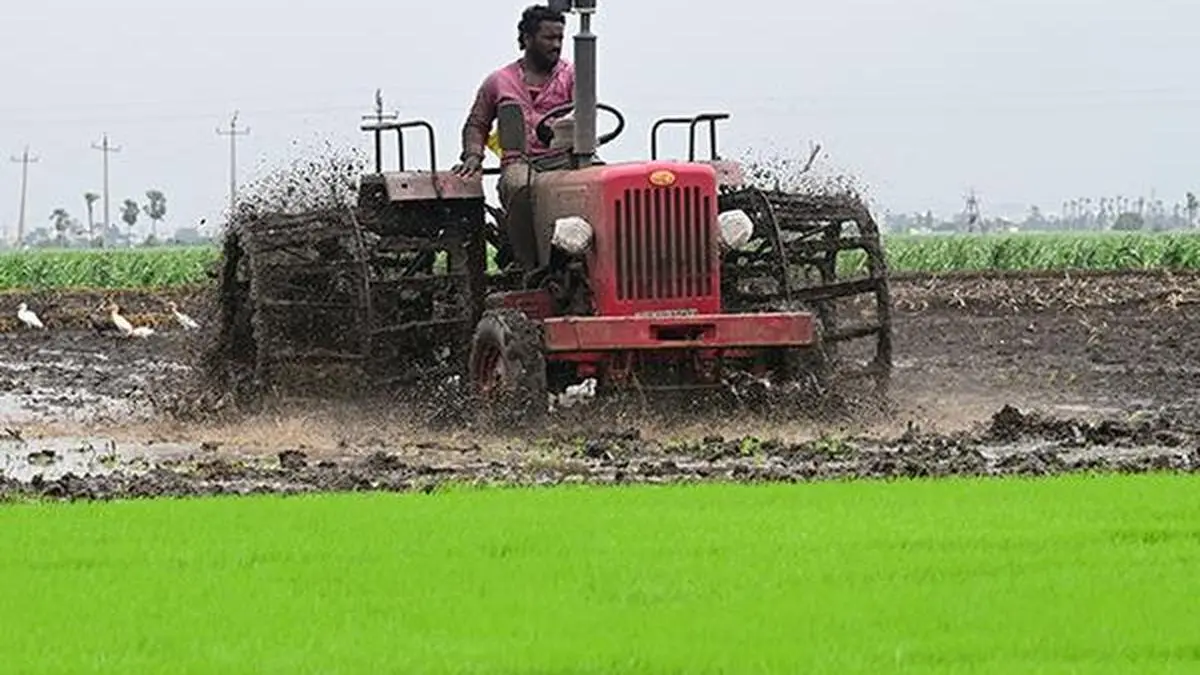
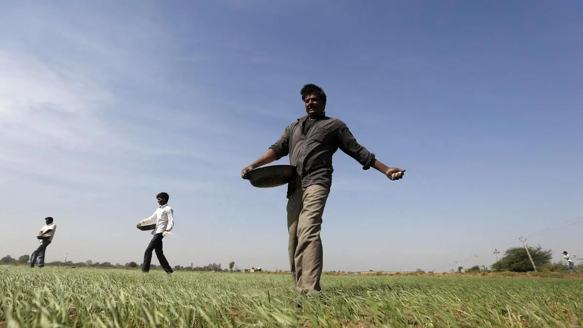
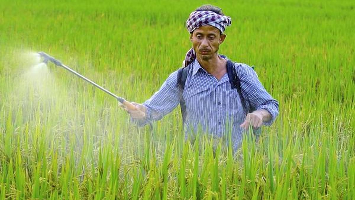
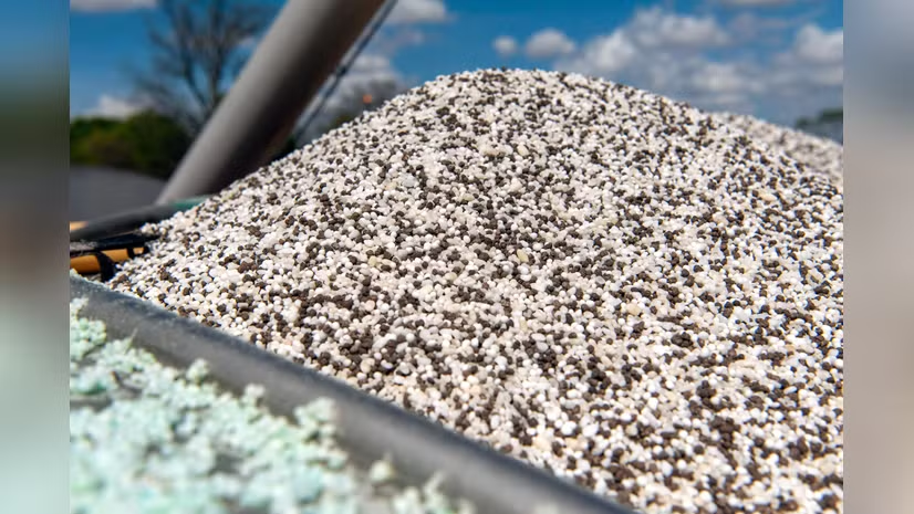
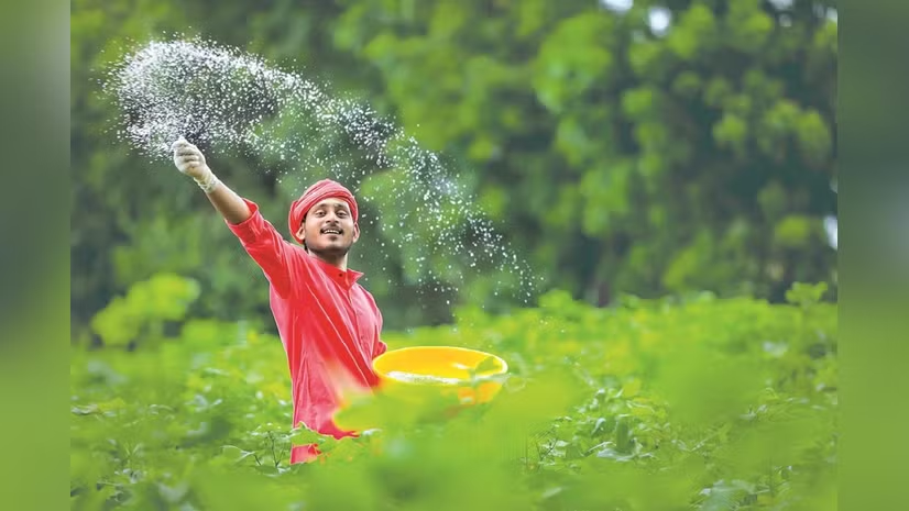
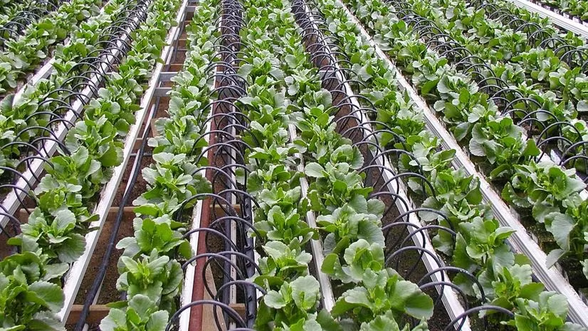
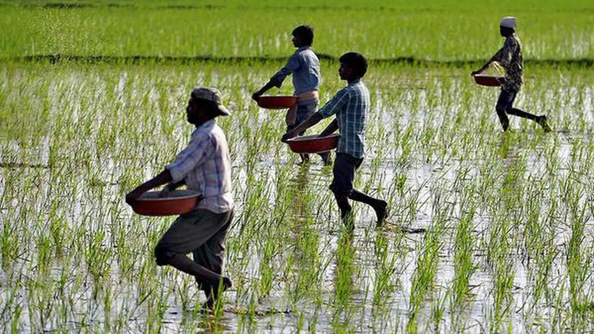
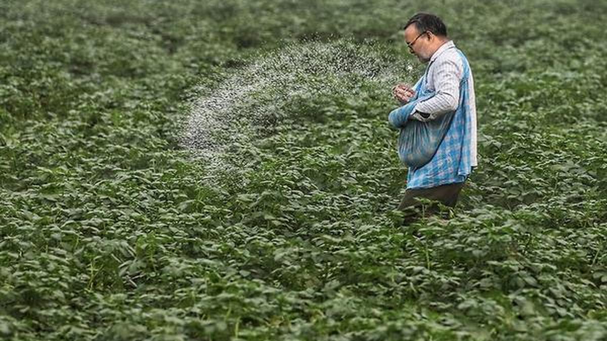
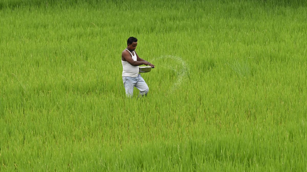
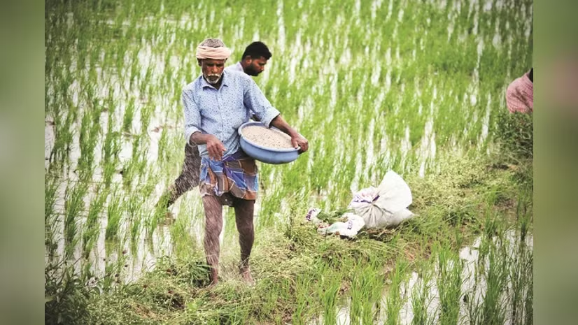
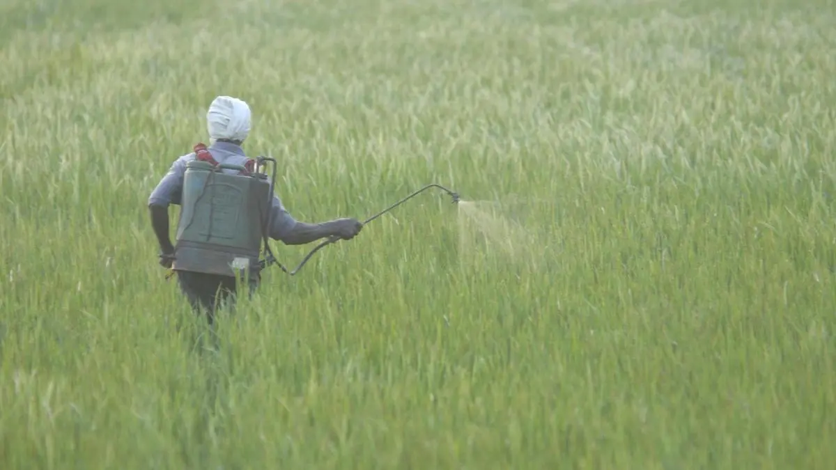
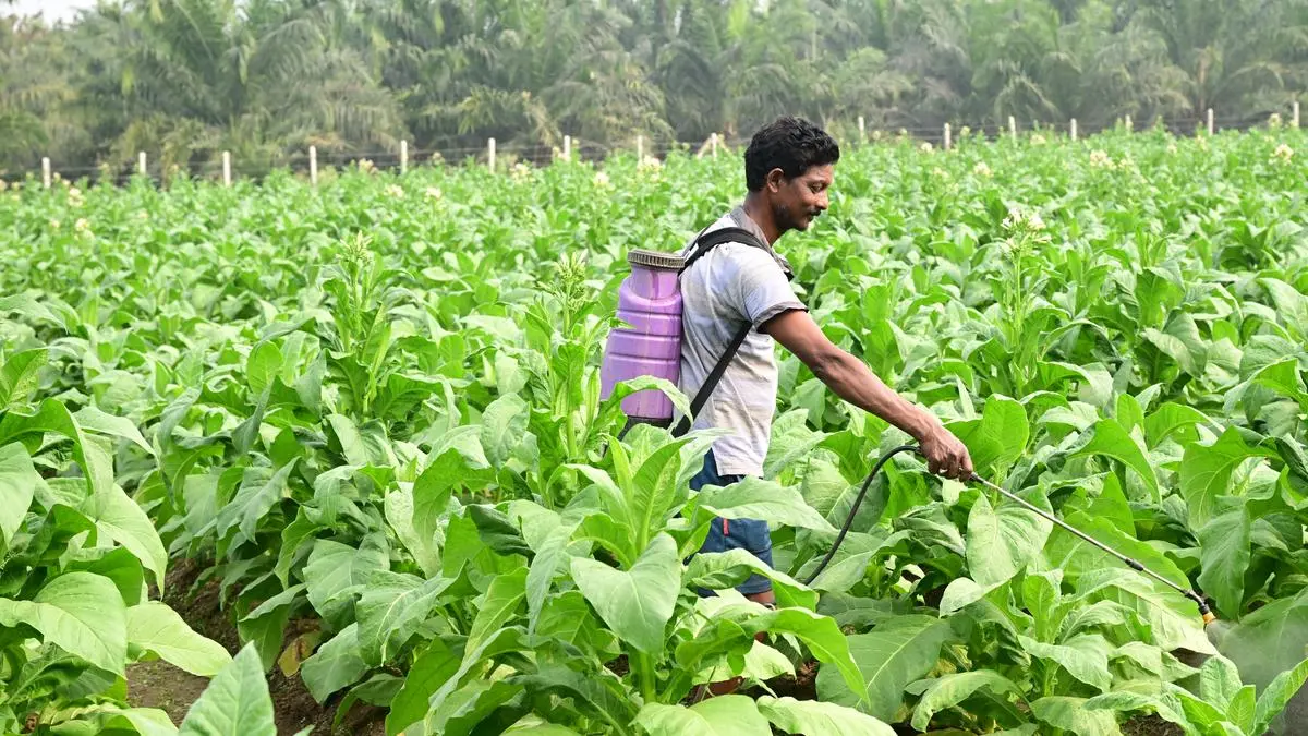
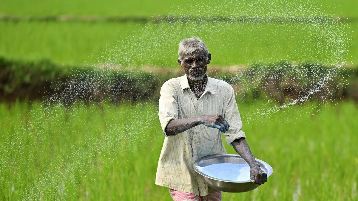
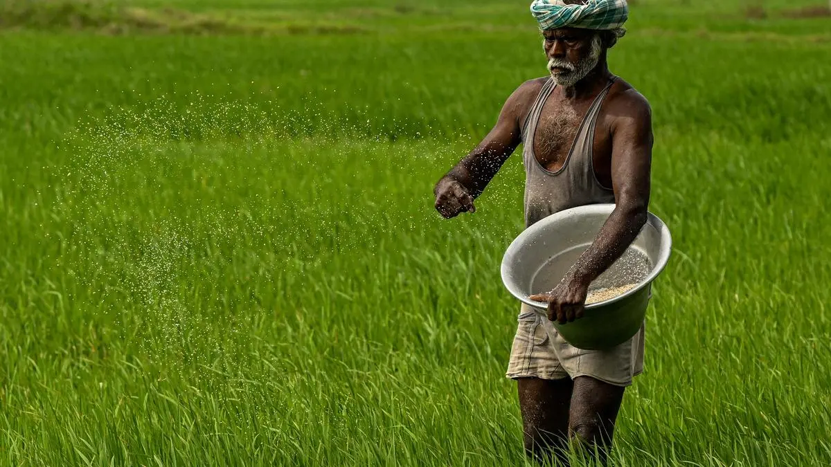
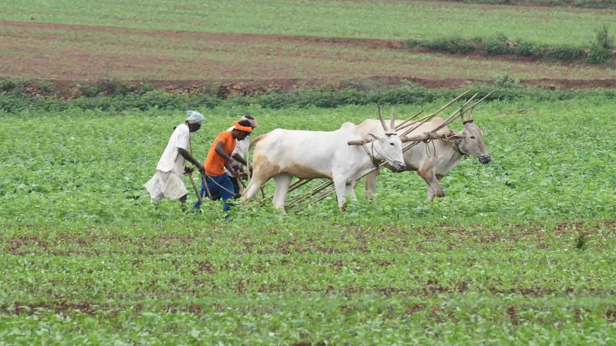
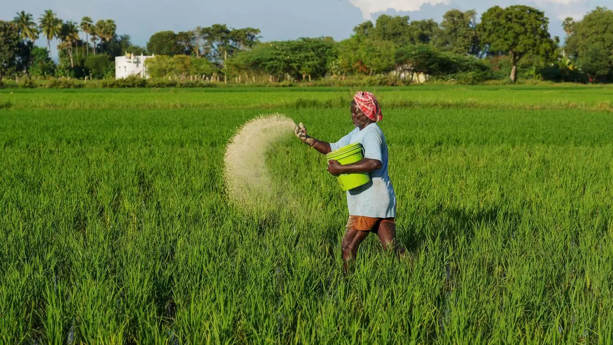
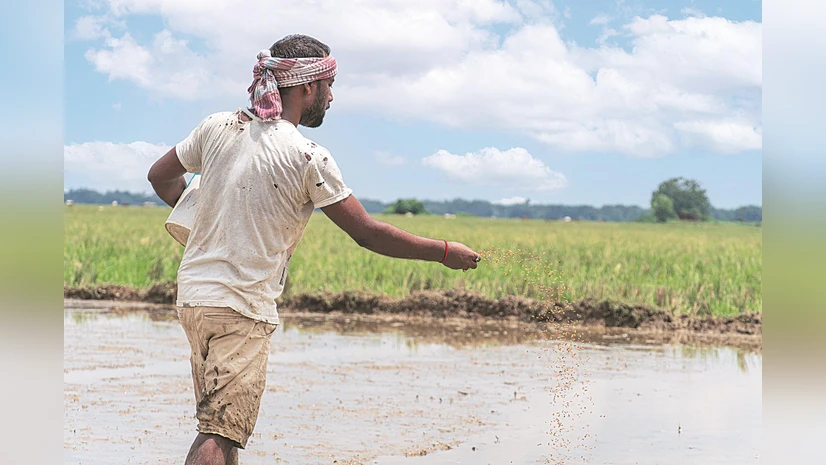
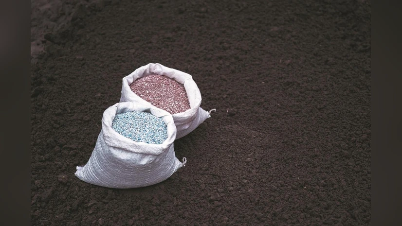
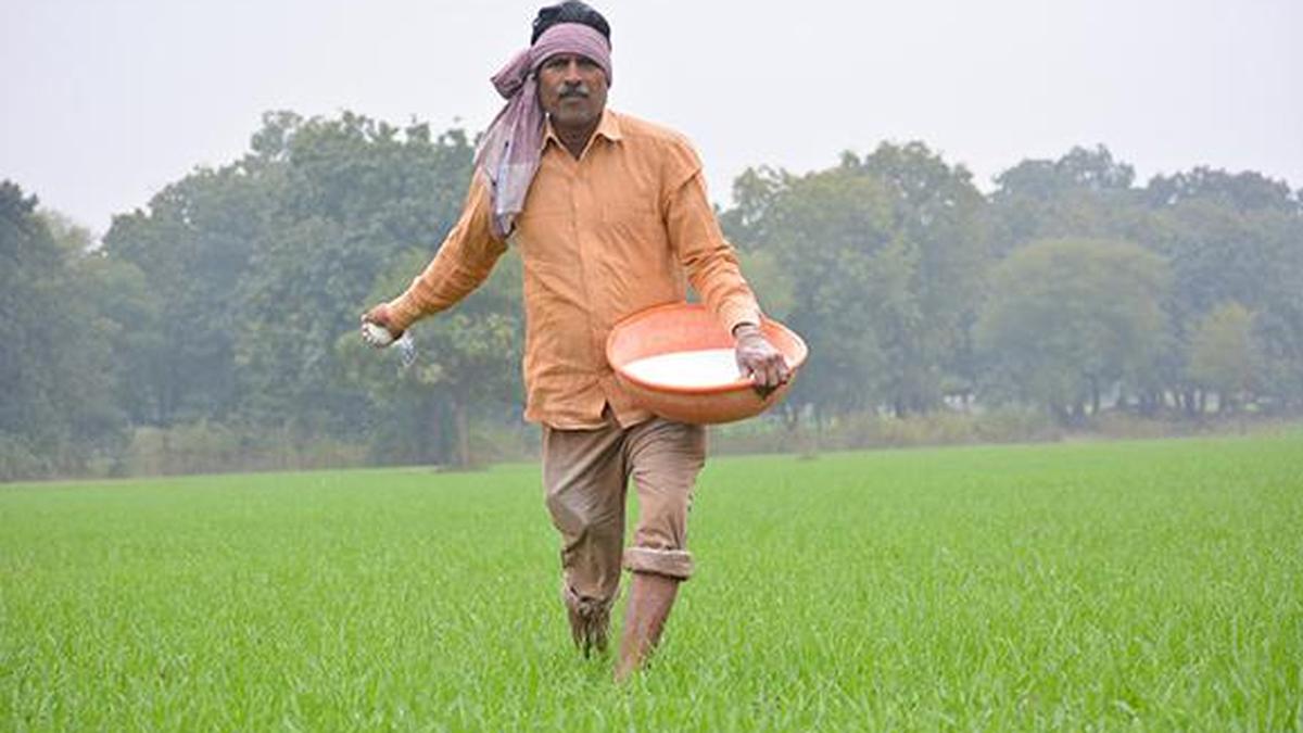
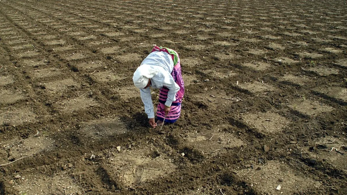
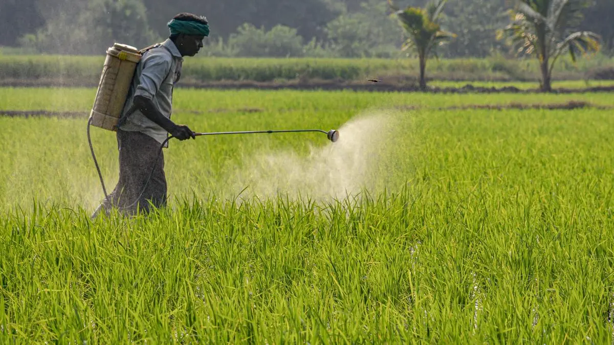
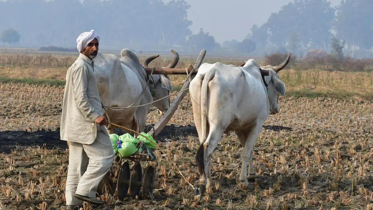
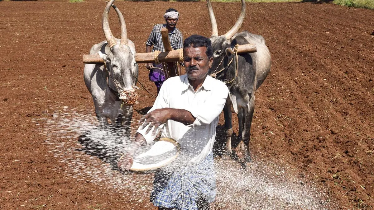
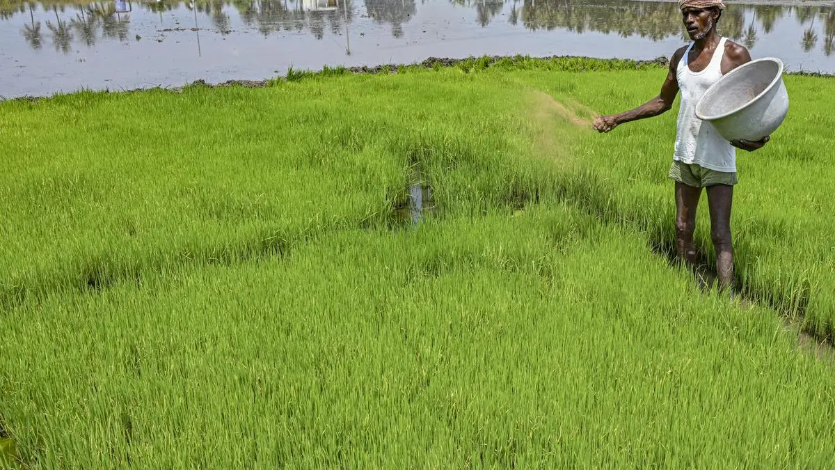
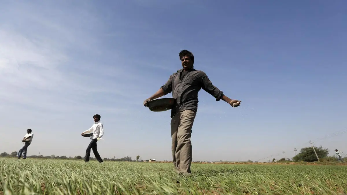
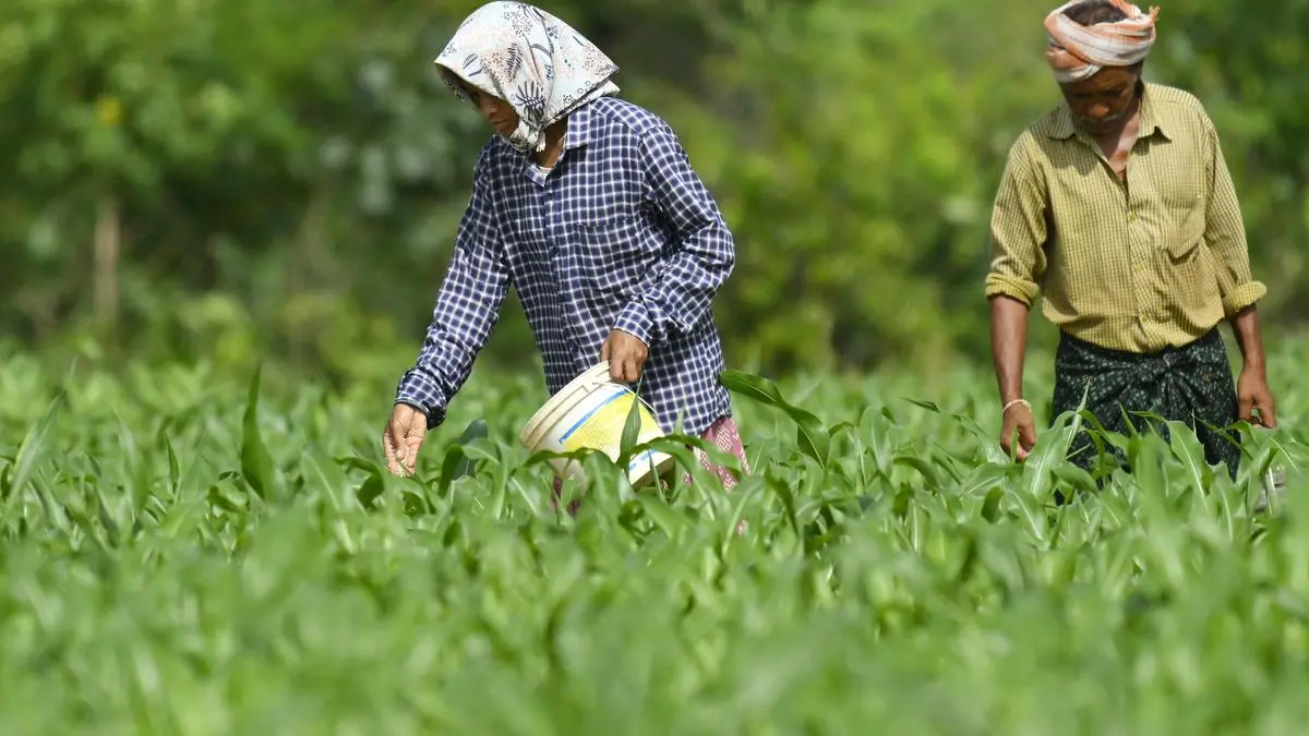
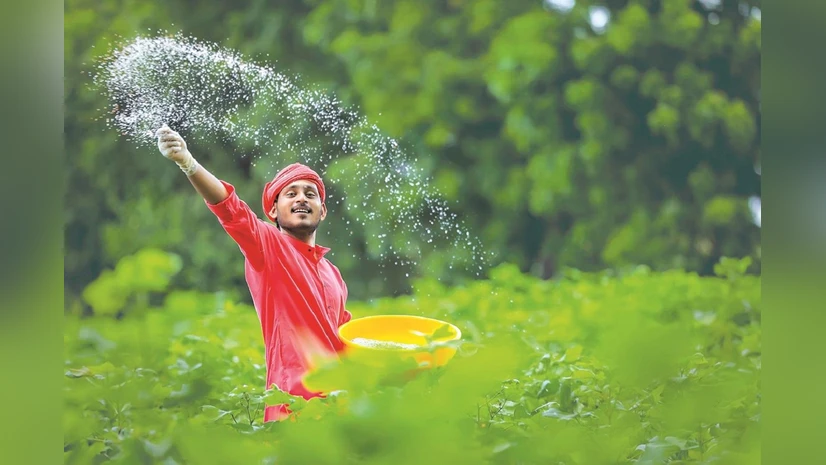
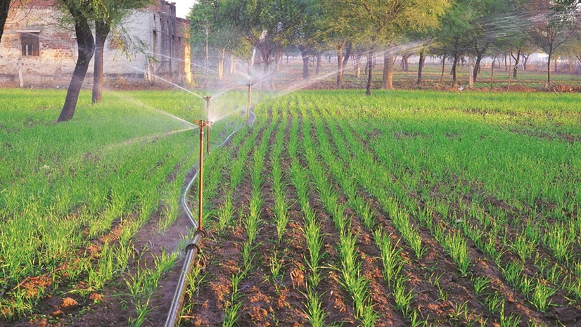
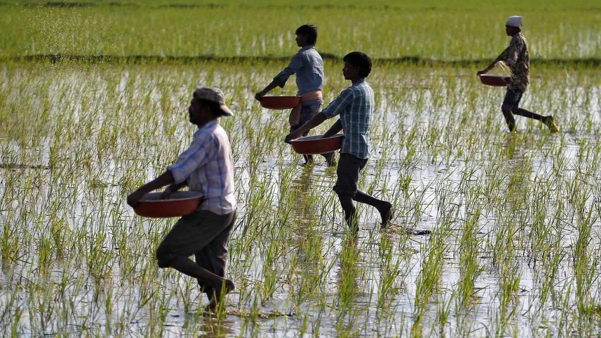
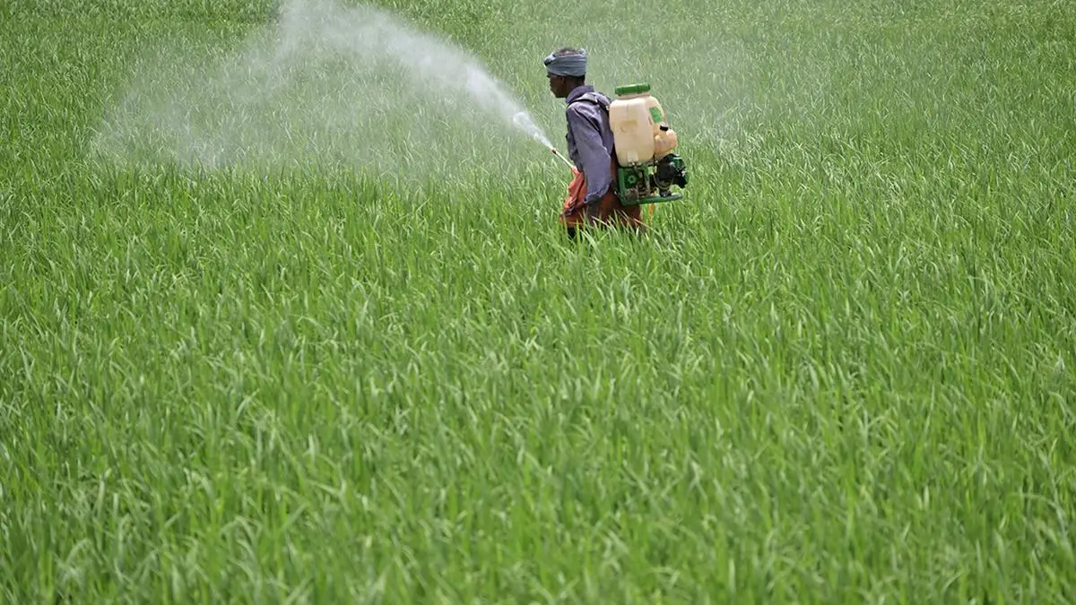
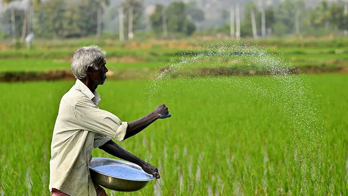
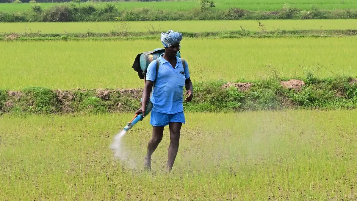
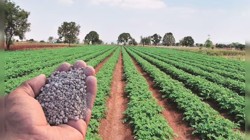
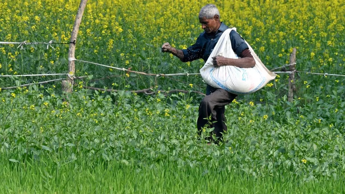
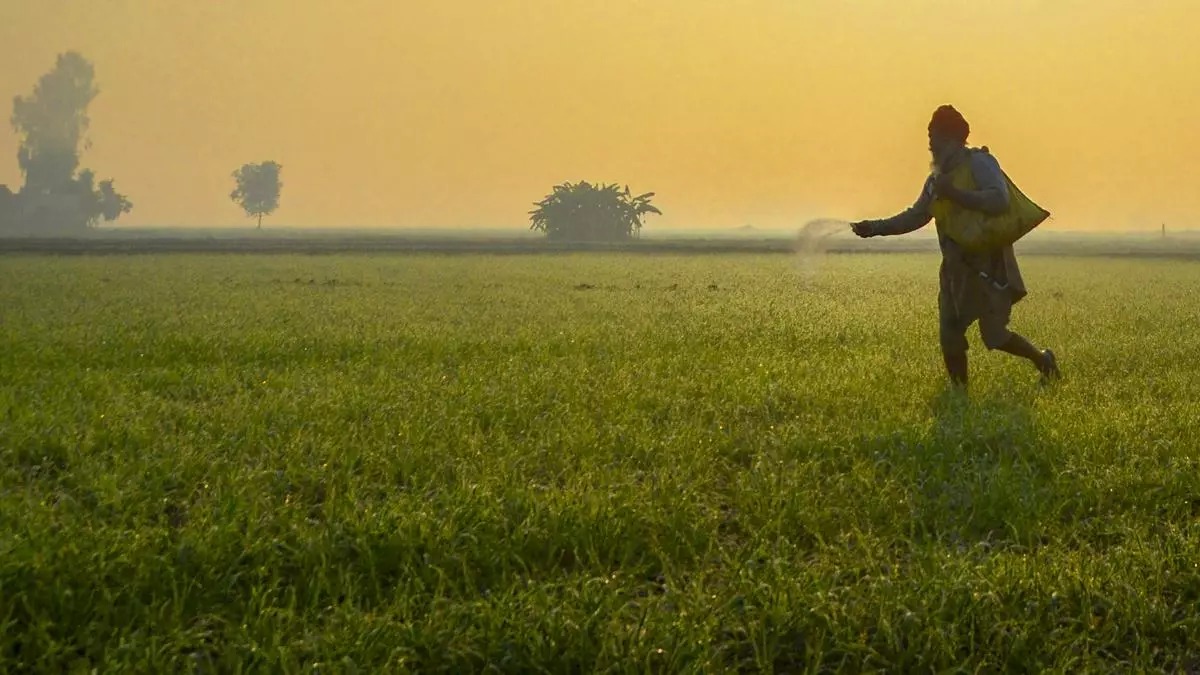
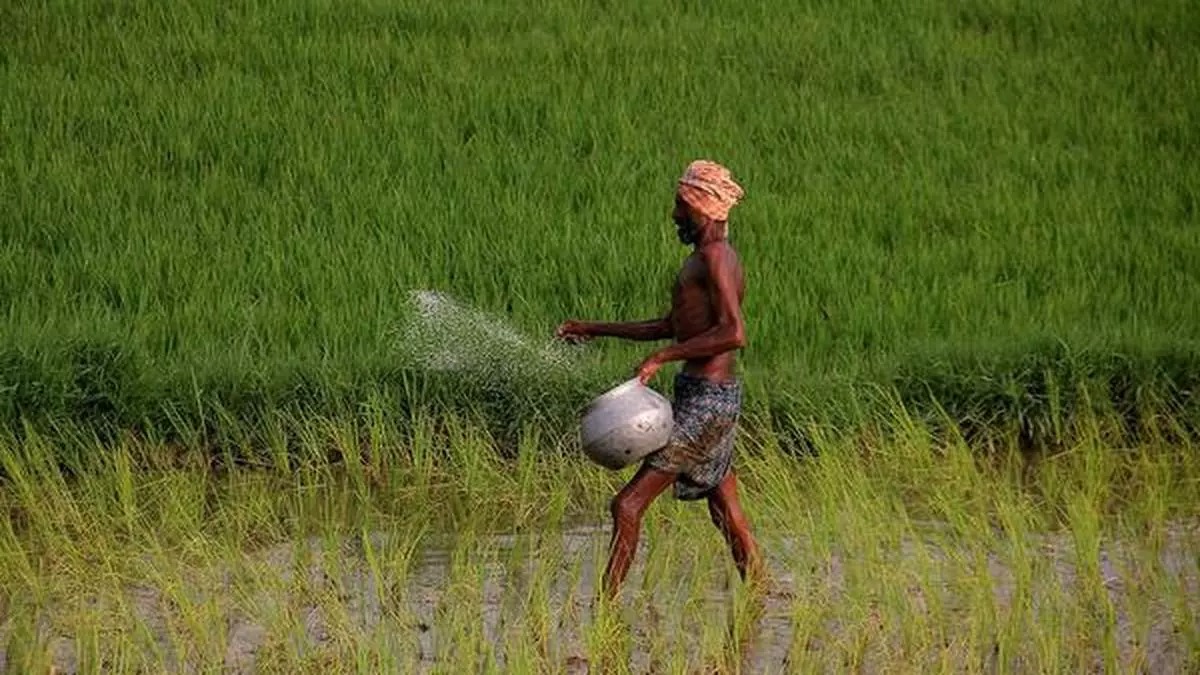
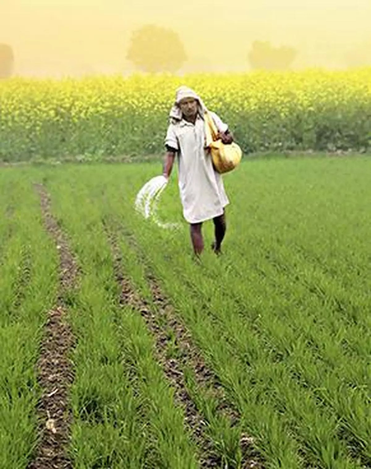
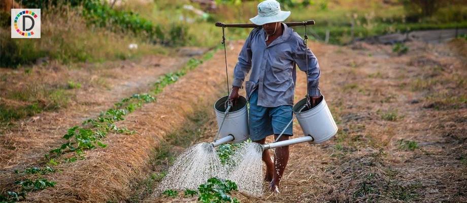
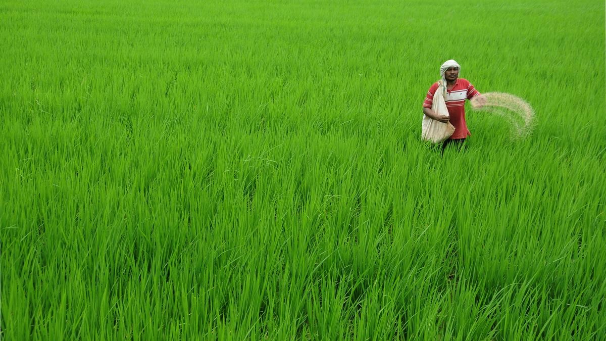
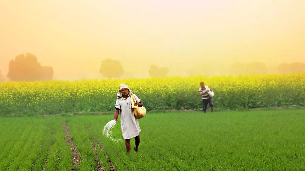
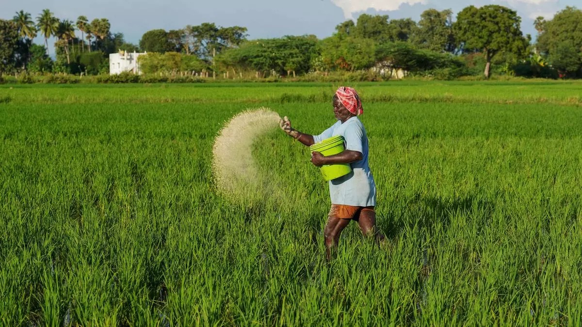
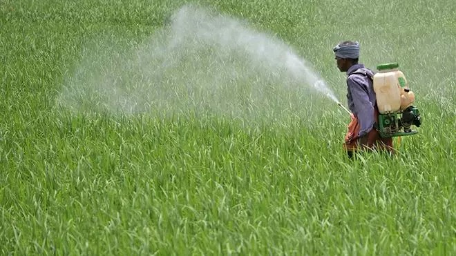
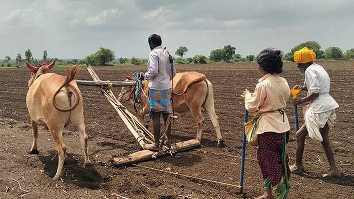
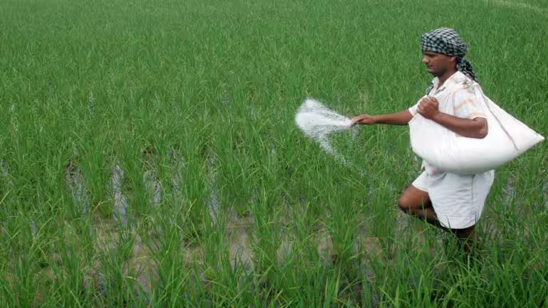
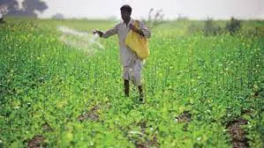
Traditional crop management often relies on broad actions. Spray the whole field. Add fertilizer across the entire plot. Increase irrigation everywhere. These methods are not always wrong, but they are expensive and inefficient when the problem is local.
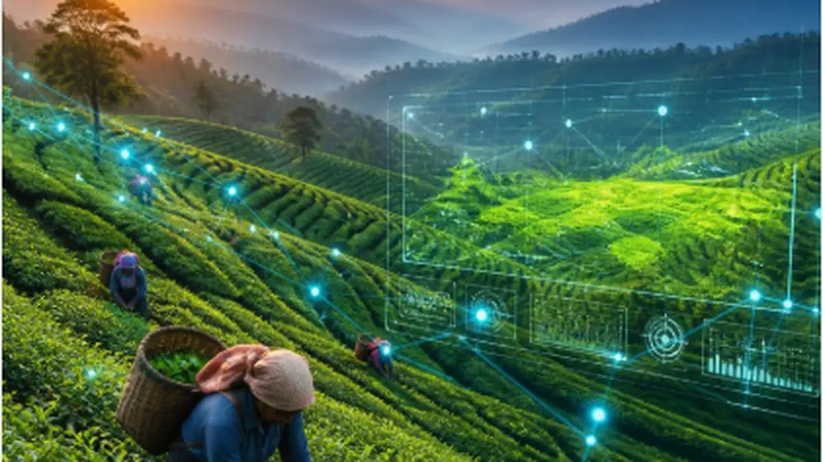
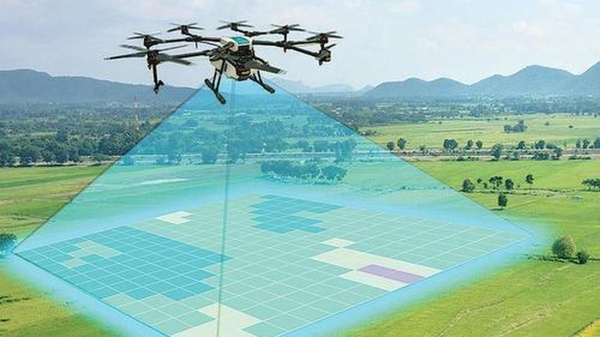
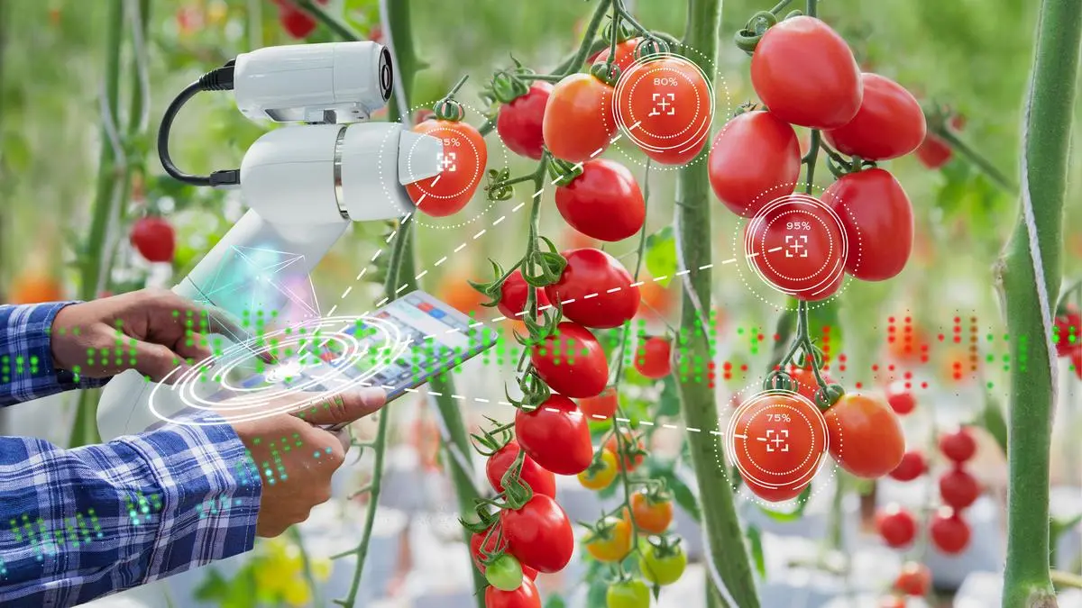
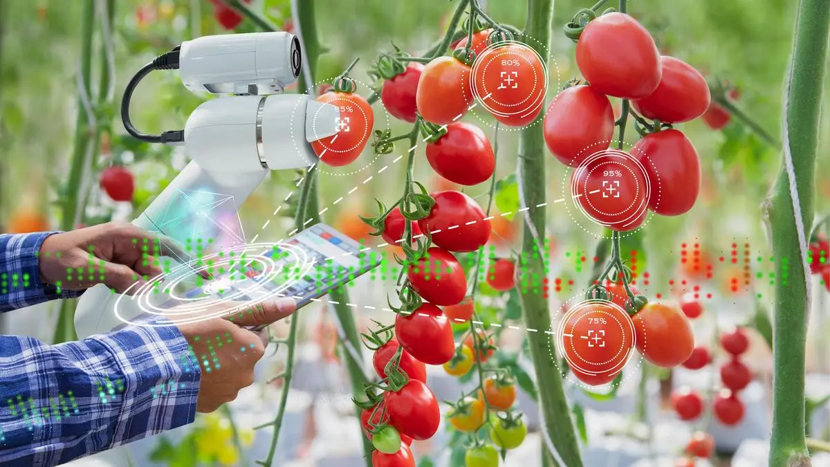
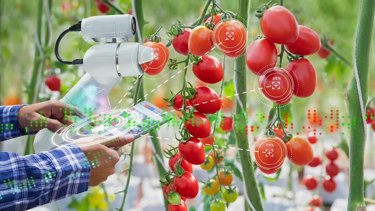
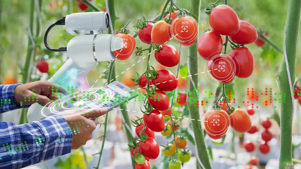
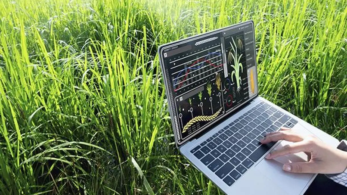
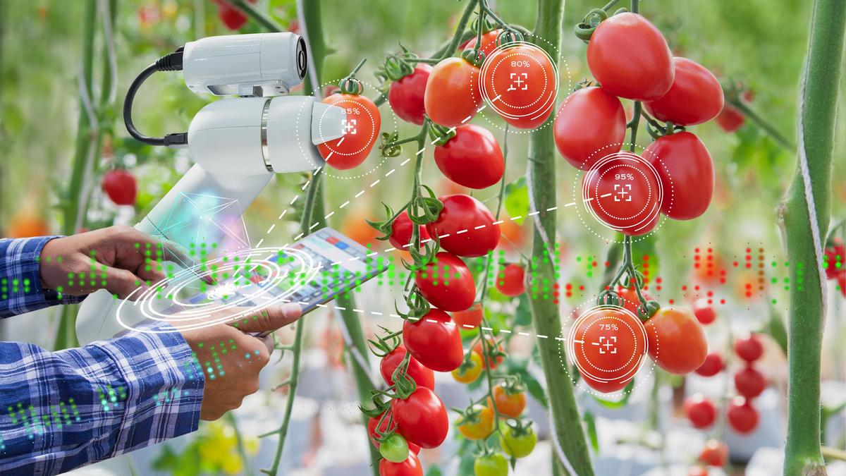
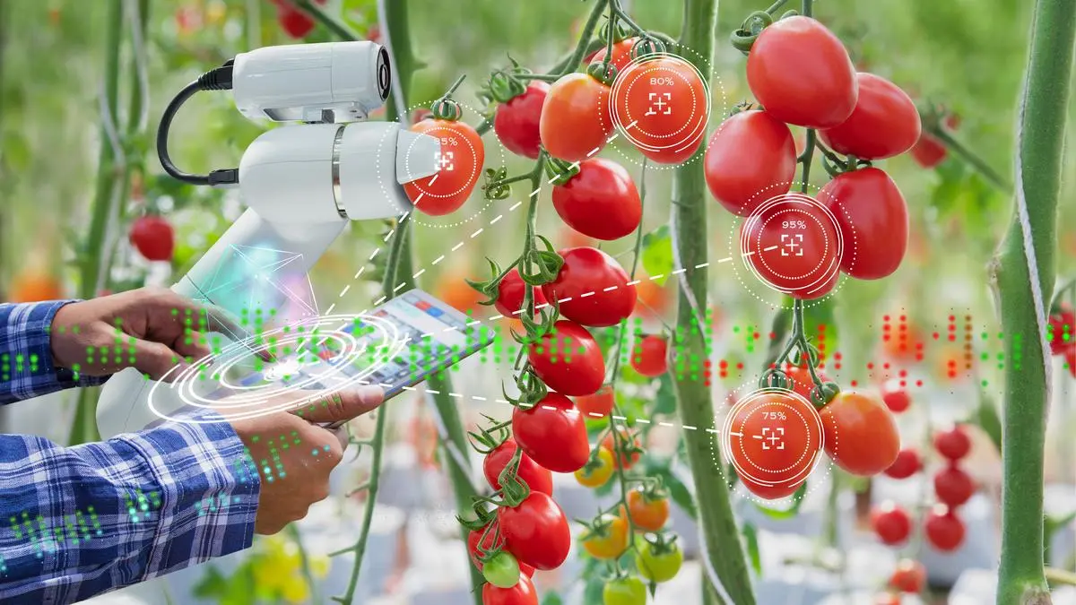
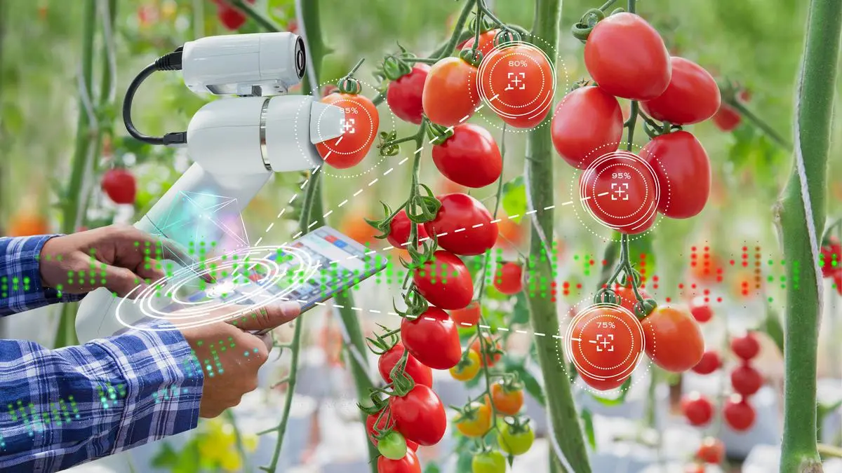
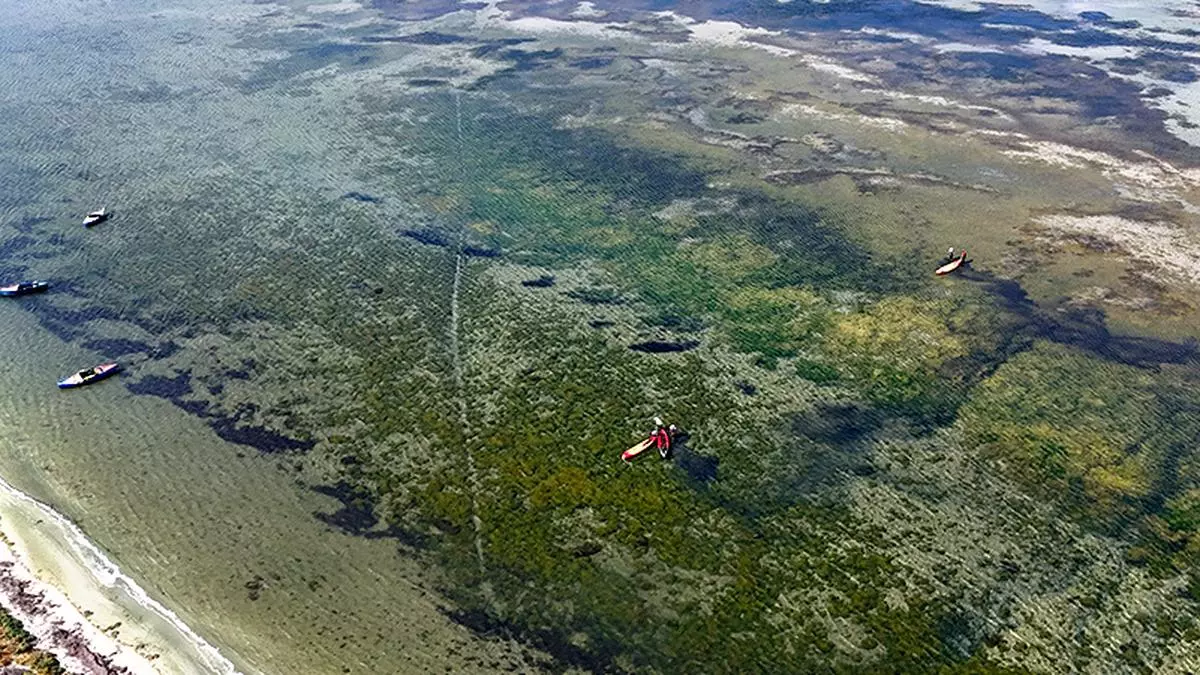
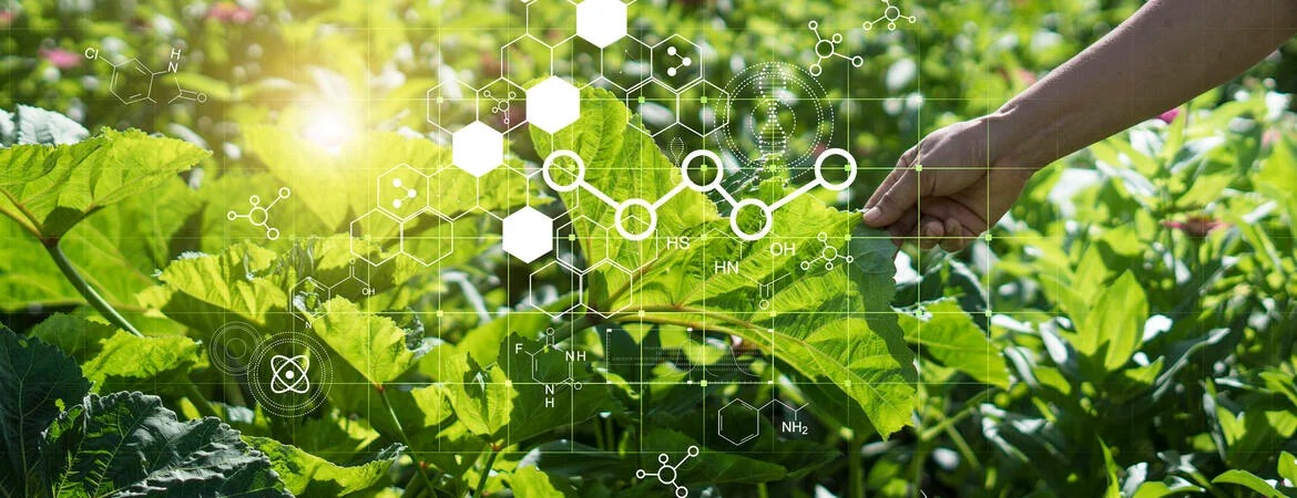
Drone mapping makes it possible to pinpoint stress. Aerial images can highlight areas where crop vigor is dropping, where water is stagnating, or where pest activity is emerging. Instead of guessing, a farmer or agronomist can act based on visible patterns. This is what hyper-precise management looks like. You do less, but you do it in the right place.