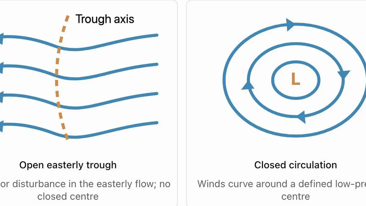
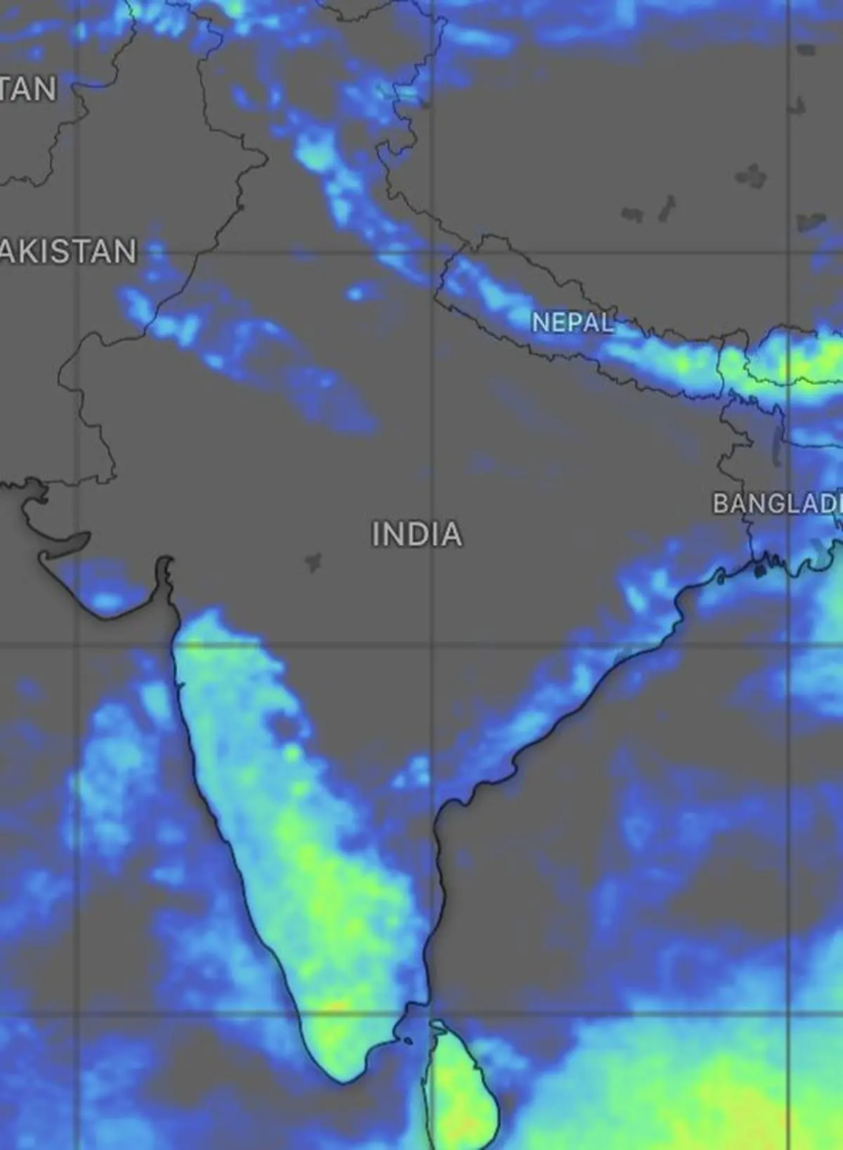
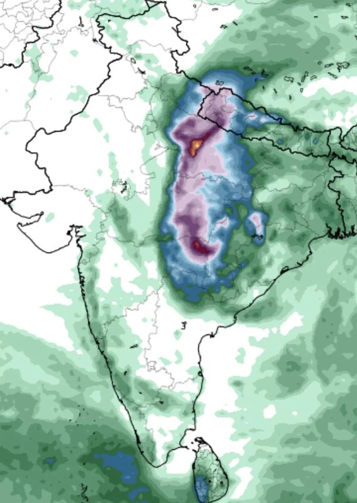
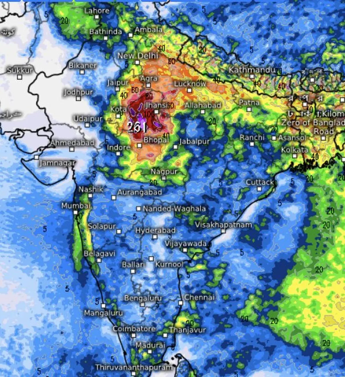
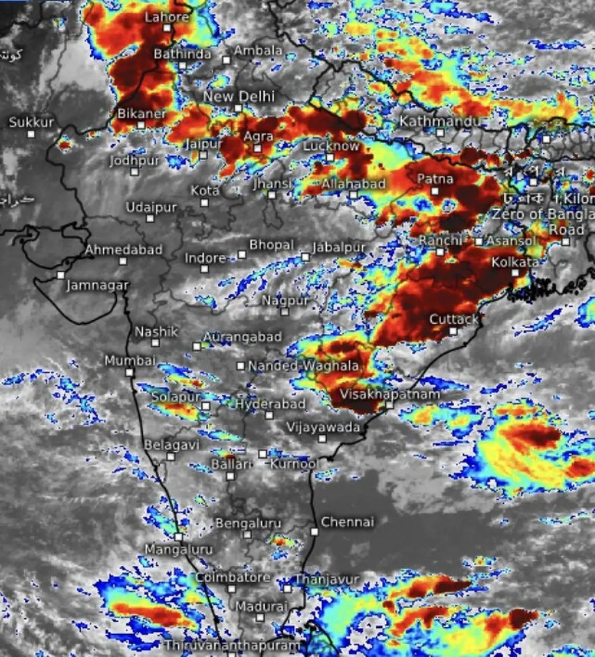
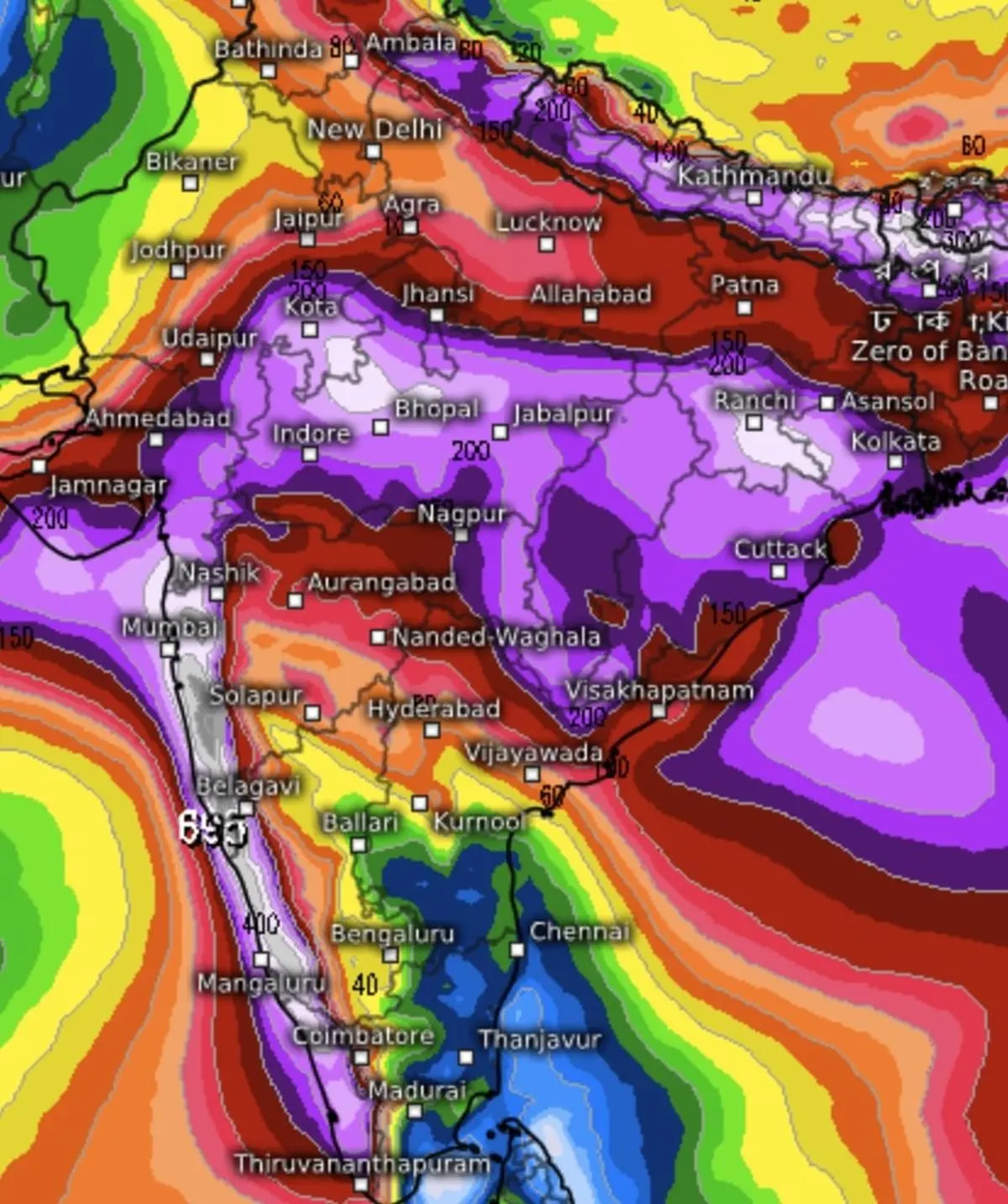
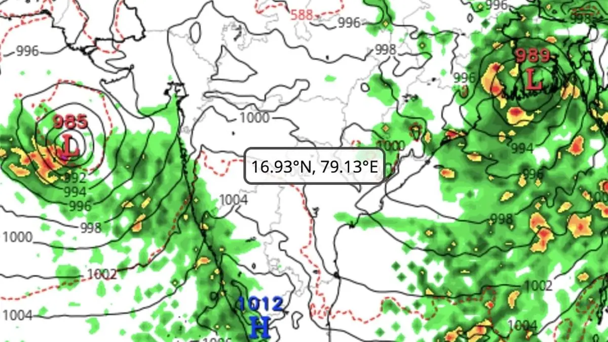
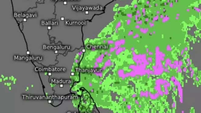
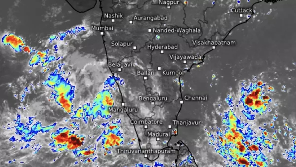
Wednesday’s low-pressure area over the south-west Bay of Bengal, off the Tamil Nadu coast, edged closer to land, with its western flank brushing the coast early on Thursday. The system is helping anchor the north-east monsoon flow over the South Peninsula even as the Bay prepares to spring another surprise, with a second low brewing over the North Andaman Sea.
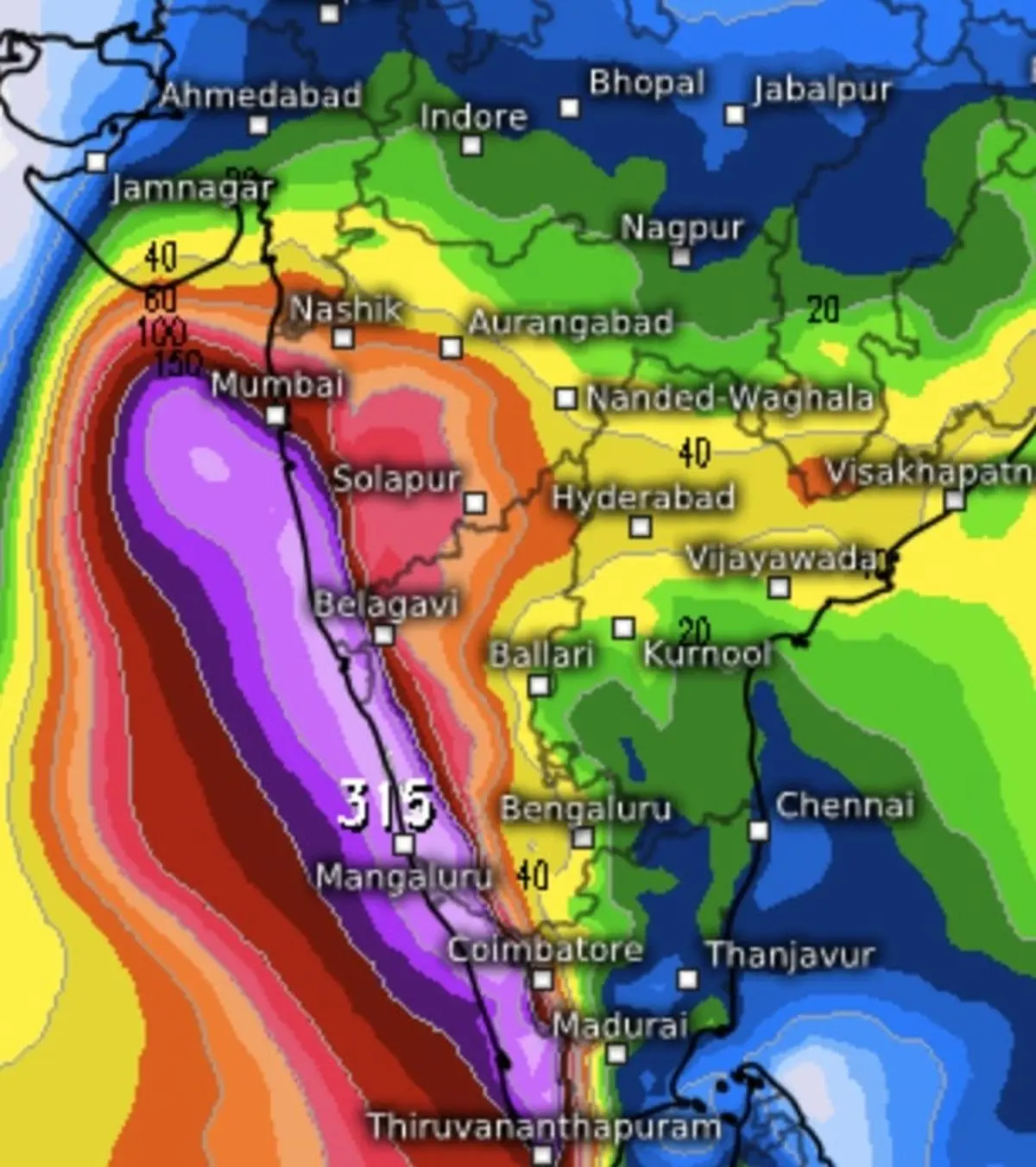
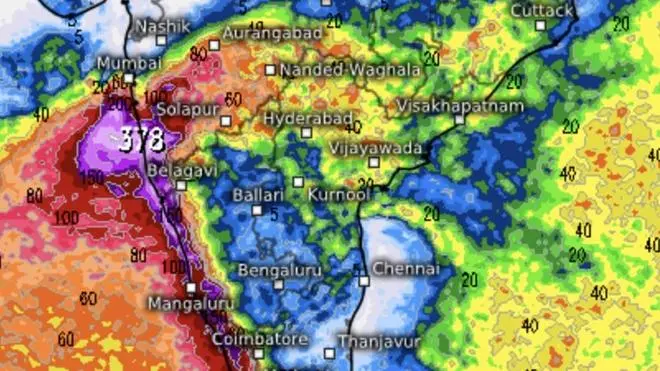
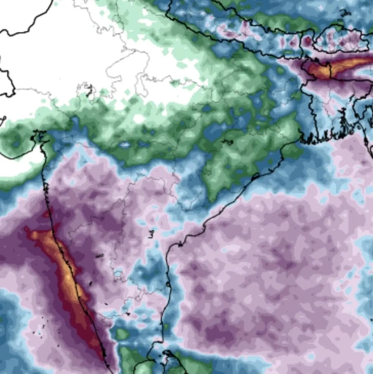
The existing low off Tamil Nadu is expected to make move across the southern tip of the Peninsula, cross south Kerala and emerge into the south-east Arabian Sea, and could leave a broad swathe of the region soaked.
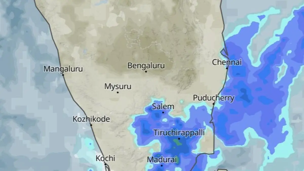
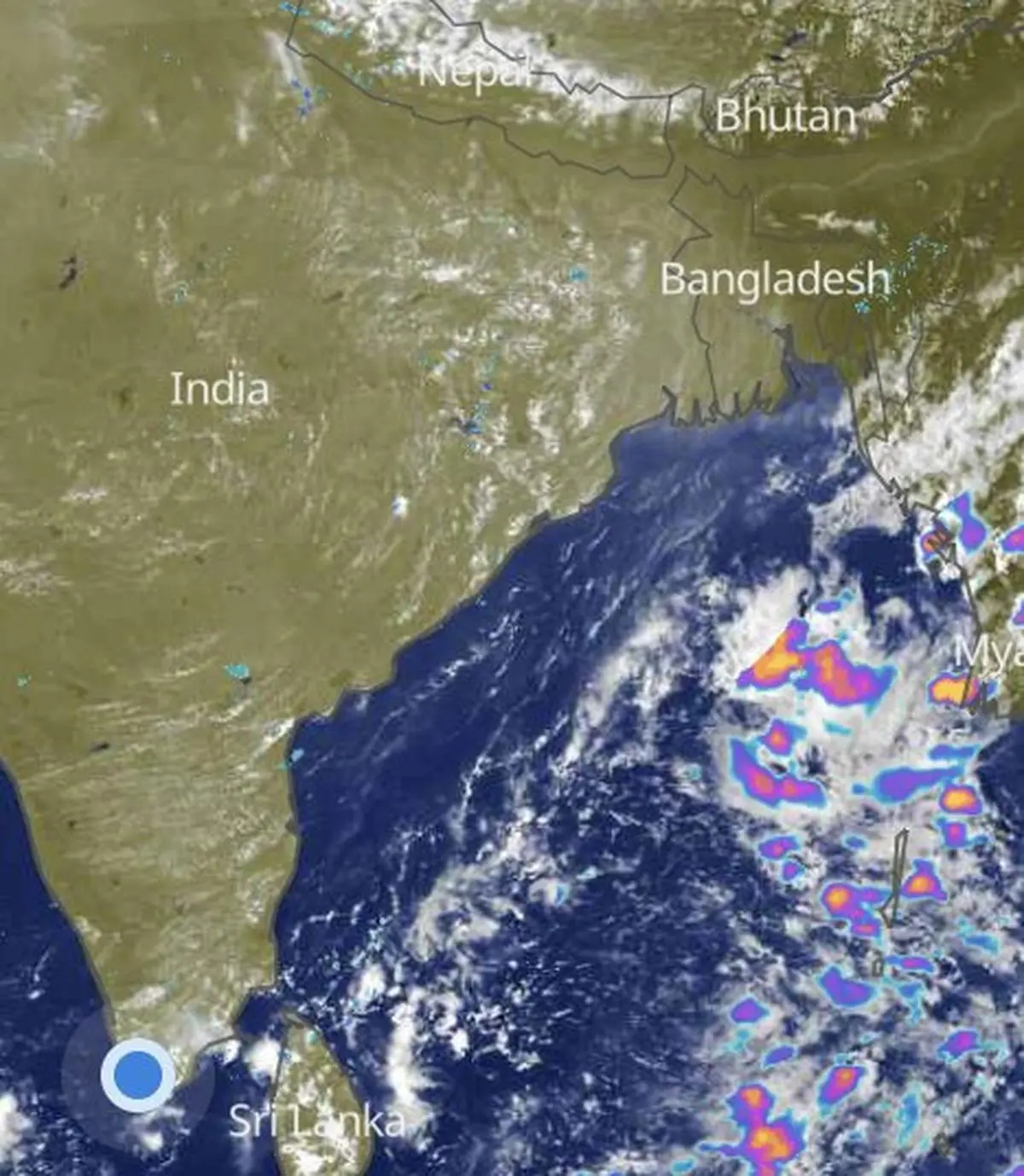
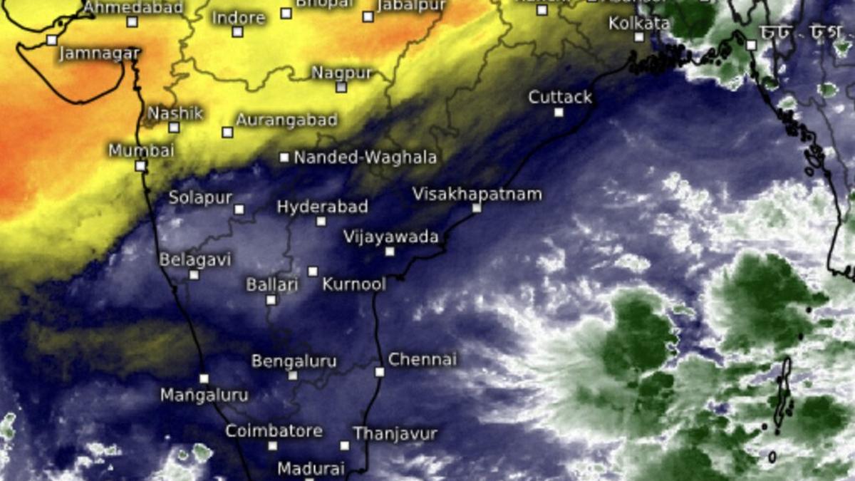
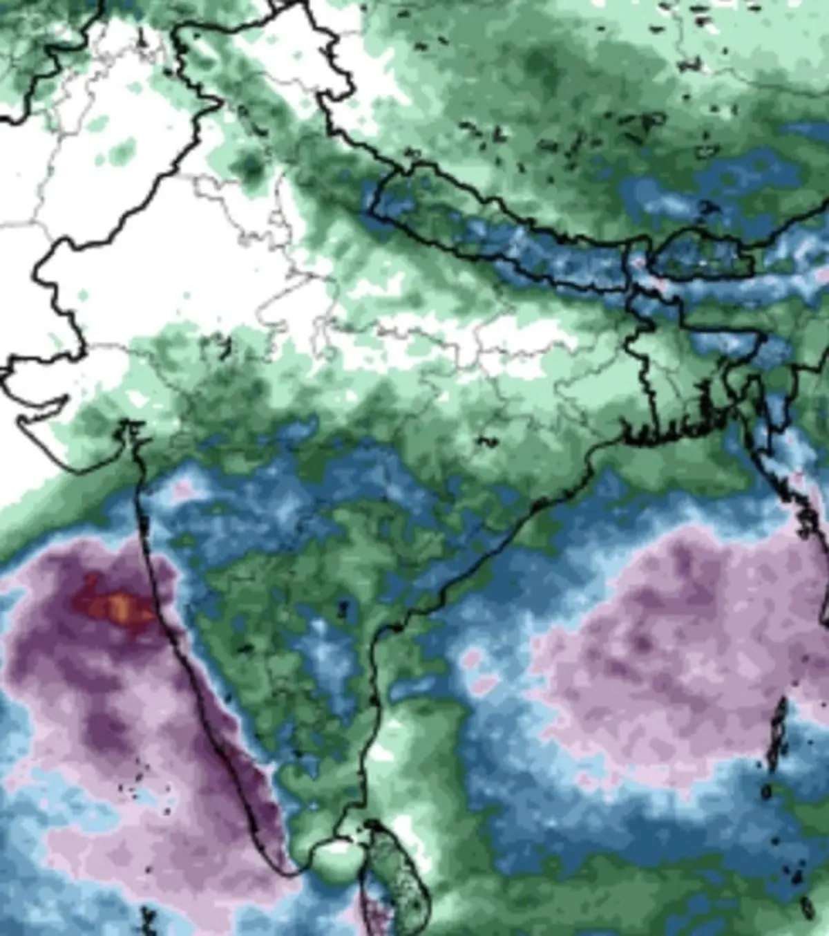
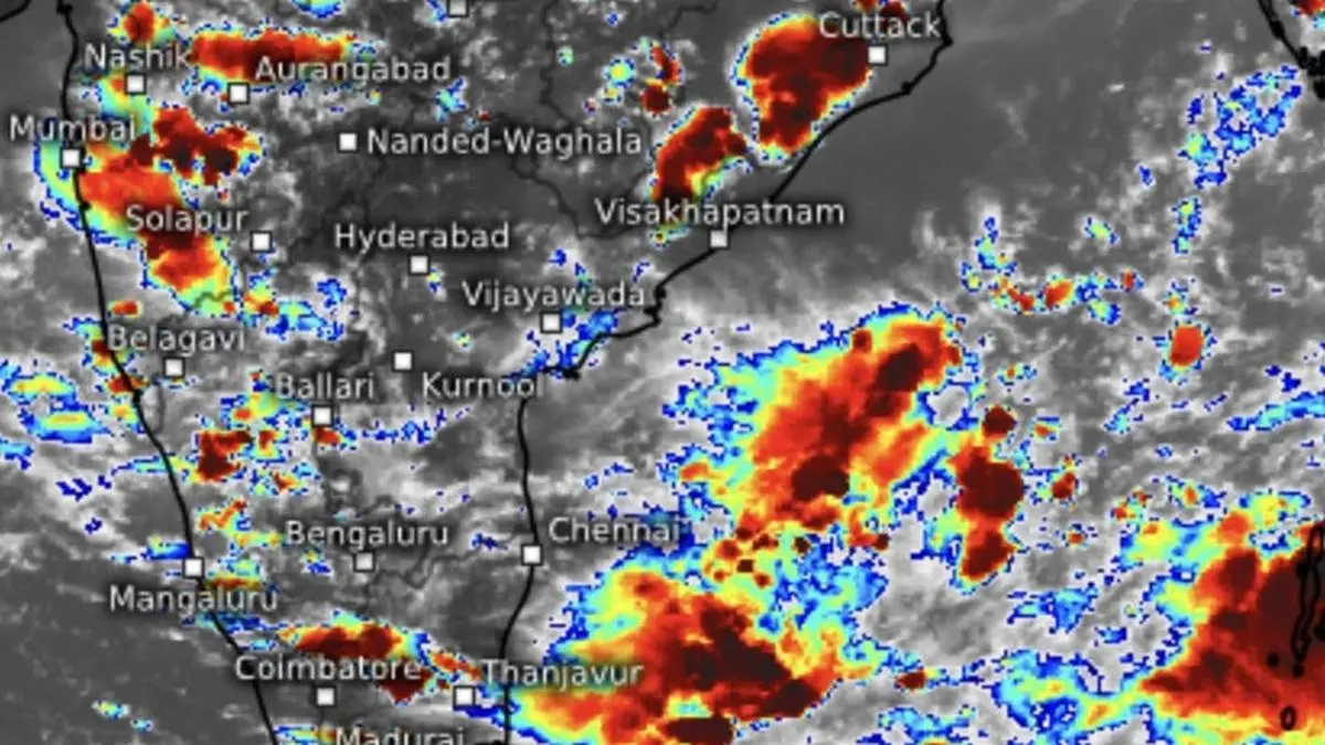
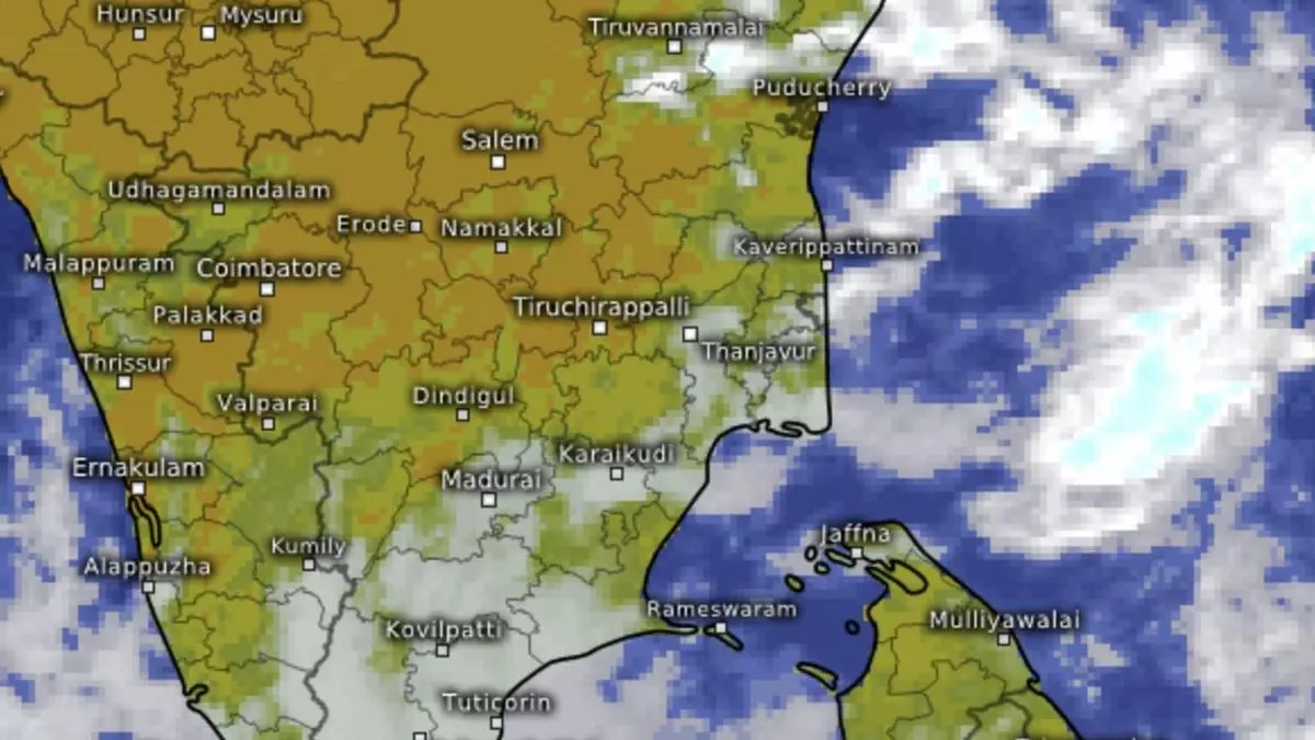
India Meteorological Department (IMD) has predicted isolated very heavy rainfall (11-20 cm) for four days over Tamil Nadu, Puducherry and Karaikal; over Kerala and Mahe today (Thursday) and on Saturday and Sunday; and over Lakshadweep on Friday and Saturday. Morning satellite pictures showed action is building on both the Arabian Sea and the Bay of Bengal, with rain clouds holding sway over the Lakshadweep Islands and off Kerala coast; Ongole-Nellore stretch south coastal Andhra Pradesh; and Cuddalore, Tindivanam, Tiruvannamalai, Salem, Tiruchrappalli and Madura in Tamil Nadu.