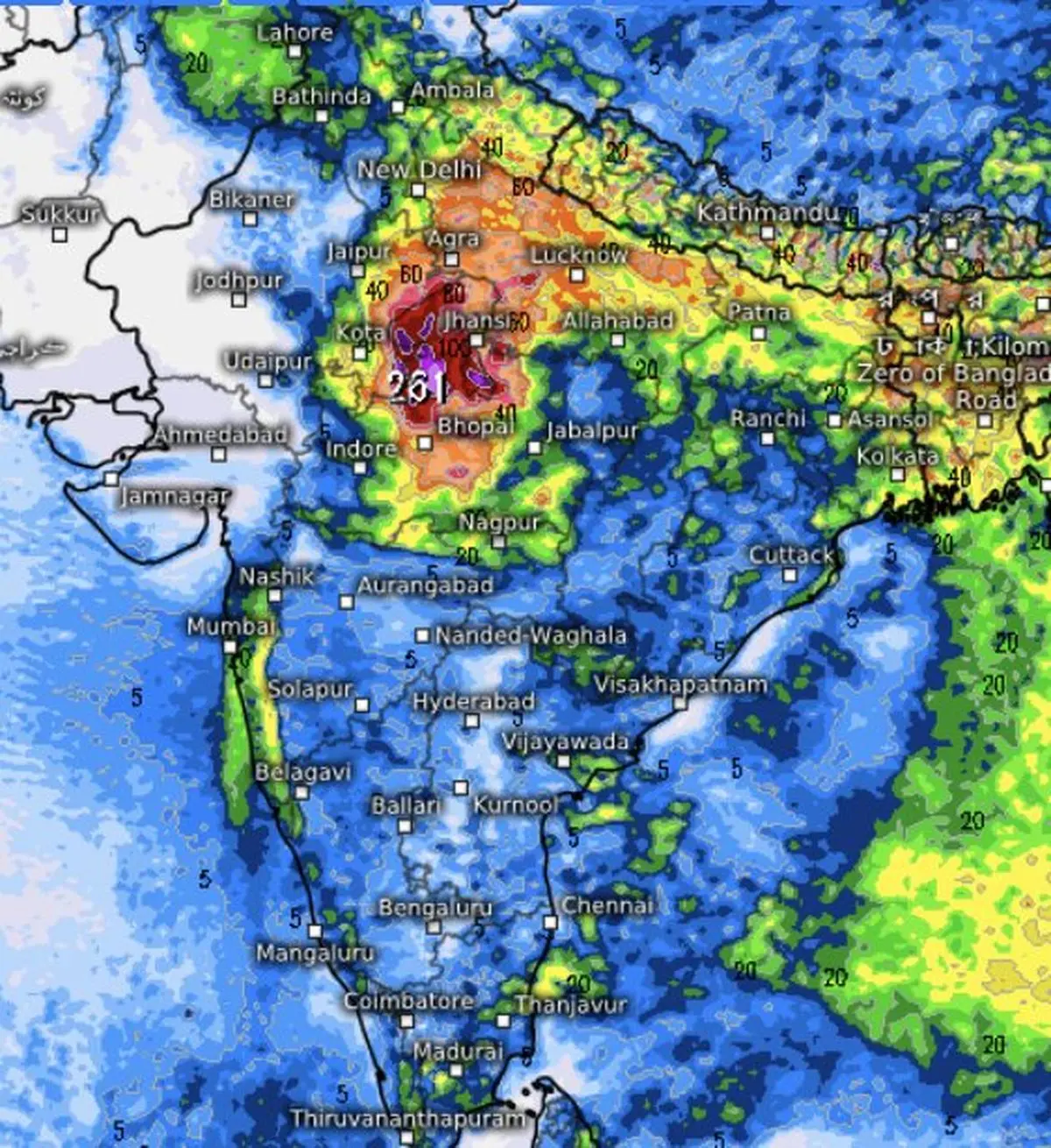
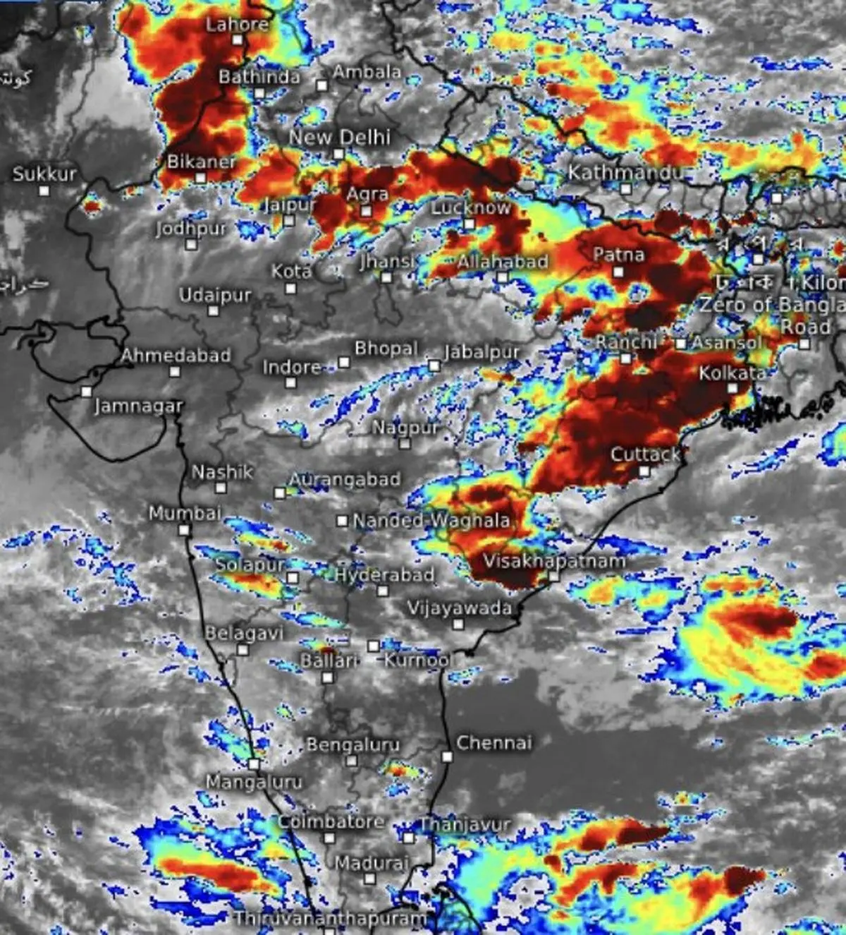
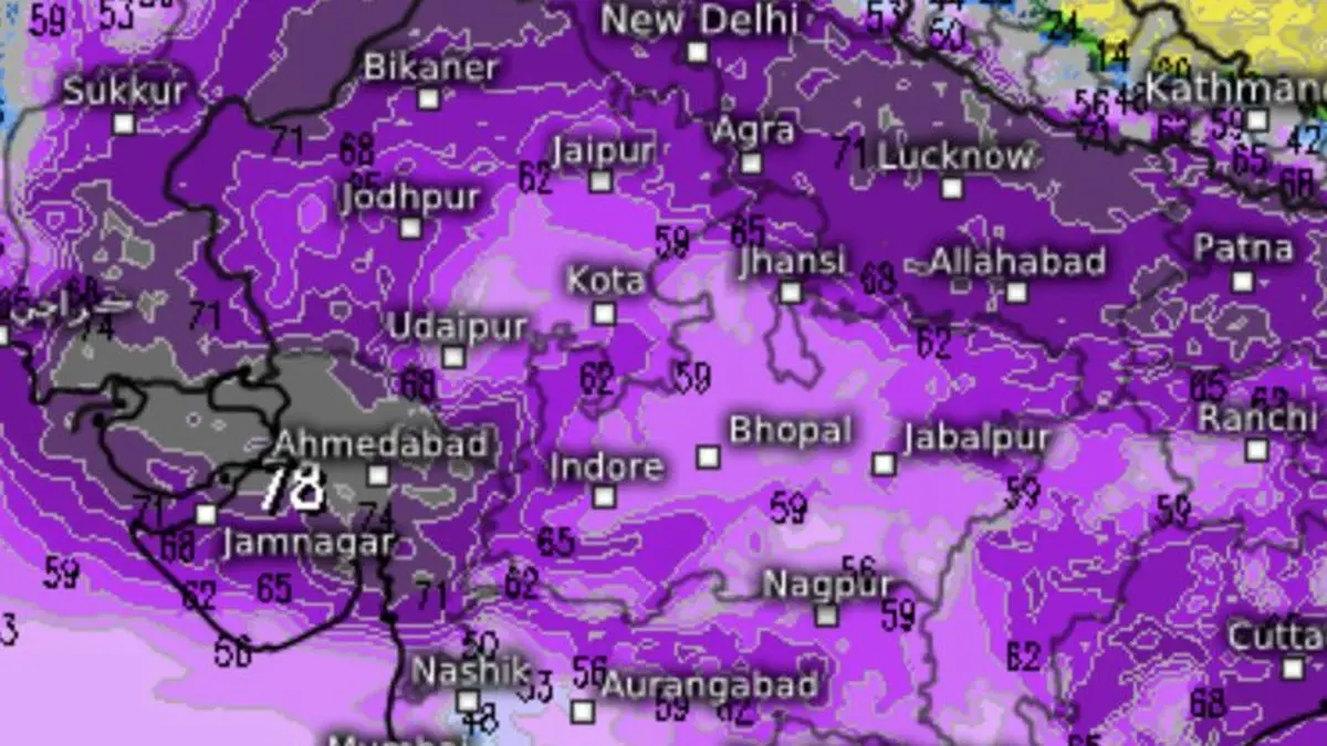
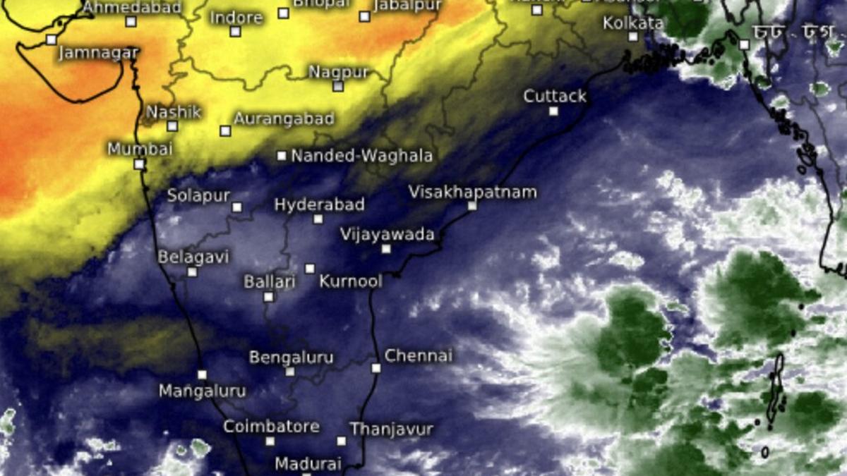
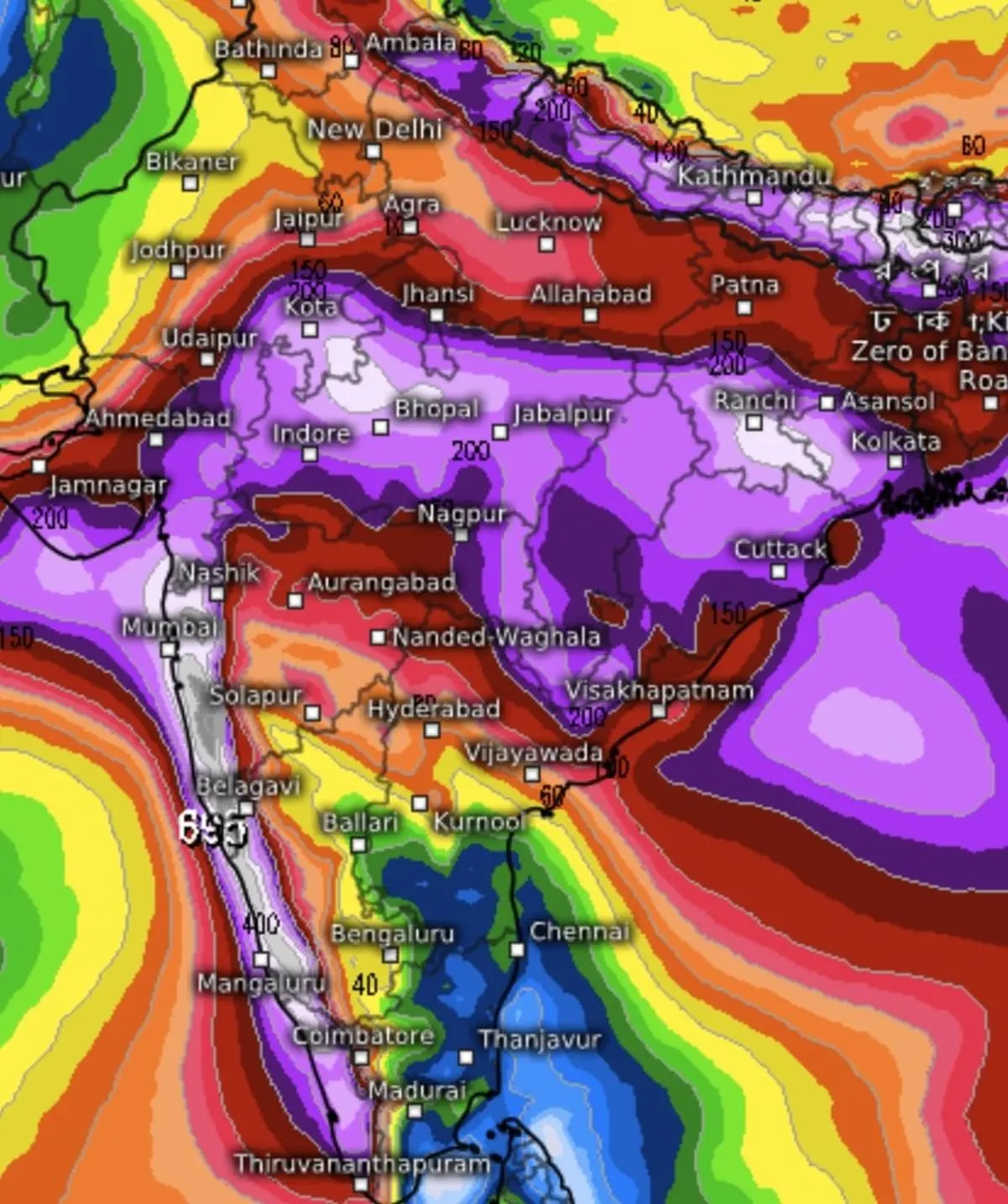
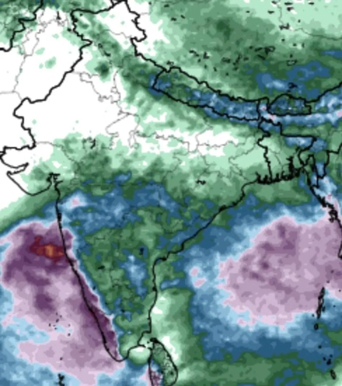
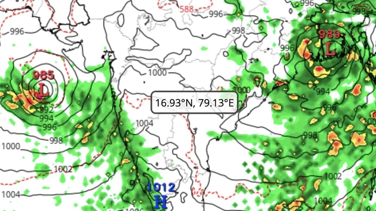
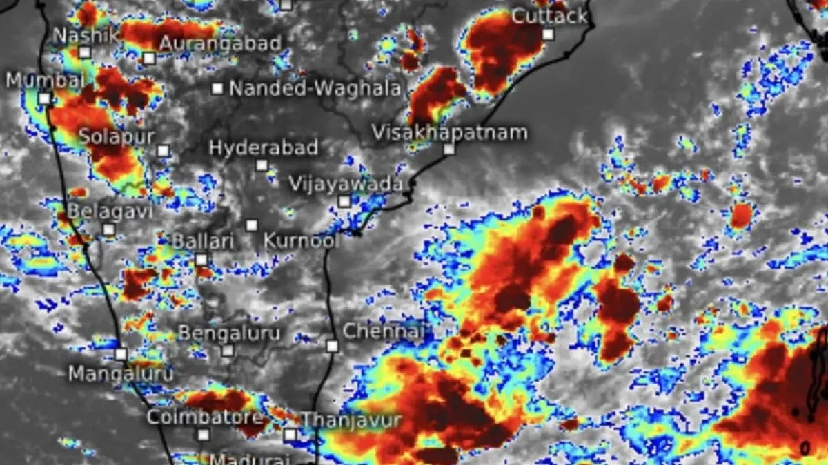
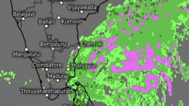
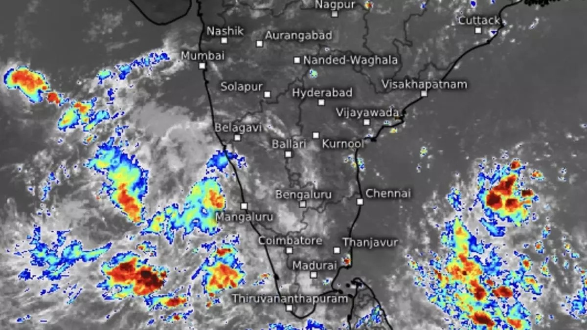
Monday’s well-marked low-pressure area intensified as expected to a depression the same evening, lay centred this (Tuesday) morning 220 km south-east of Gopalpur and 220 km south-southeast of Puri (both Odisha); and 230 km east-southeast of Kalingapatnam and 320 km east of Visakhapatnam (Andhra Pradesh).
It may intensify into a deep depression, second only in rank to a cyclone, over west-central and adjoining north-west Bay and prowl the area most part of today. It may cross north Andhra Pradesh-South Odisha coasts between Visakhapatnam and Gopalpur as a deep depression during the projected window from tomorrow (Wednesday) night to early hours of Thursday, India Meteorological Department (IMD) said in an update.
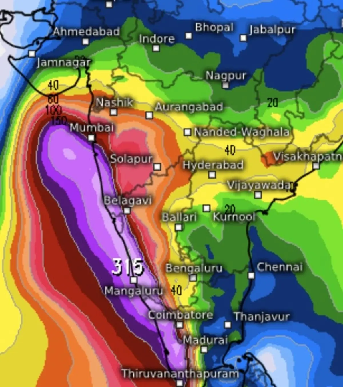
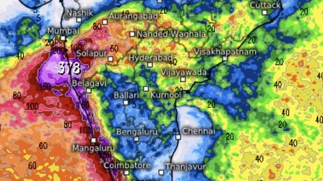
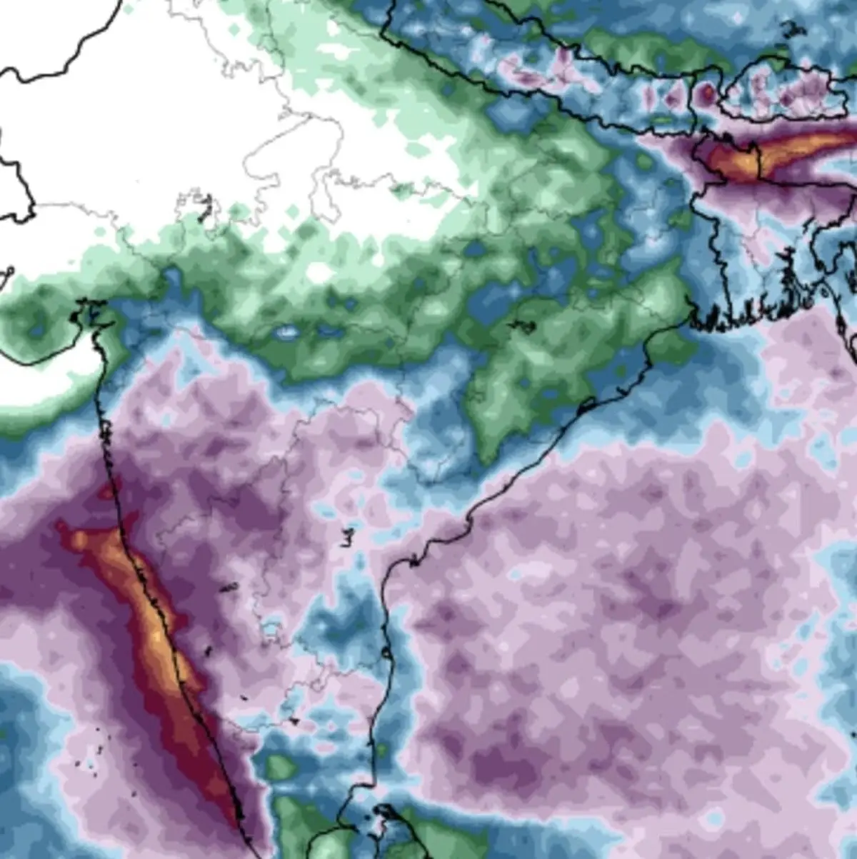
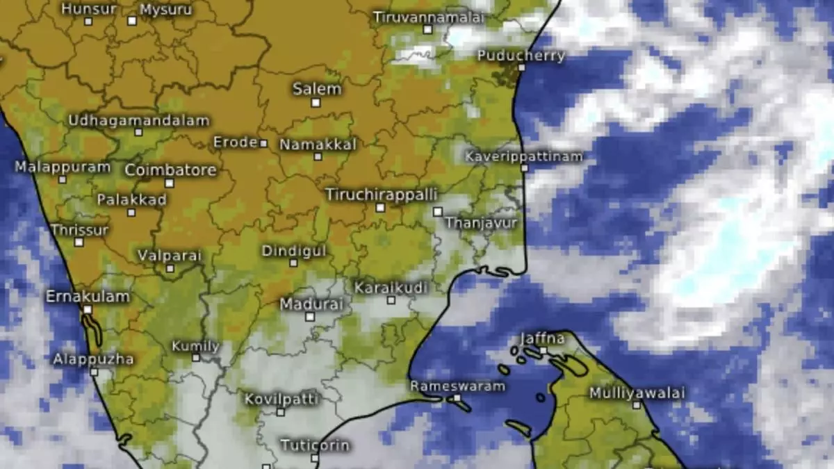
A series of criss-crossing troughs linked the depression to the north and south by way of helpful troughs to the north Bay and the north Andaman Sea. Another impactful trough extended from south-east Arabian Sea to the depression across Kerala; Tamil Nadu; and south-west Bay through central Tamil Nadu. Cyclonic circulations whirled not too far away over central Tamil Nadu east-central Arabian Sea.