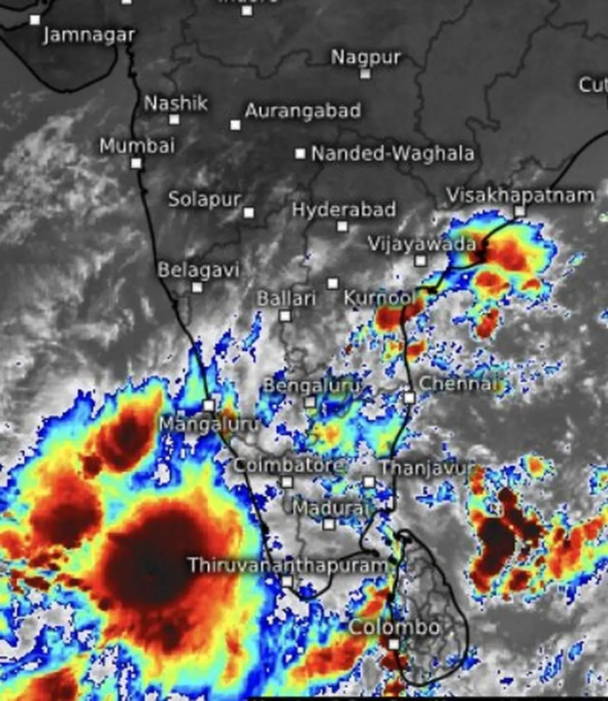
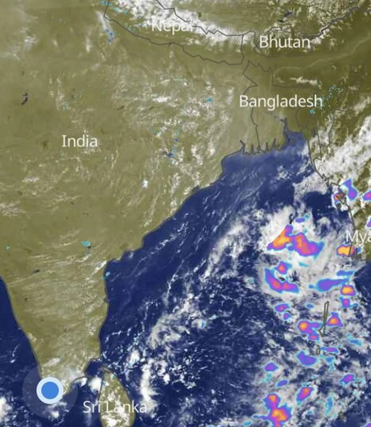
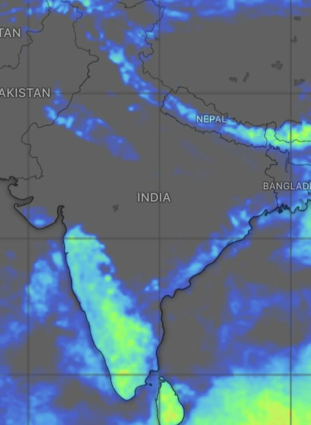
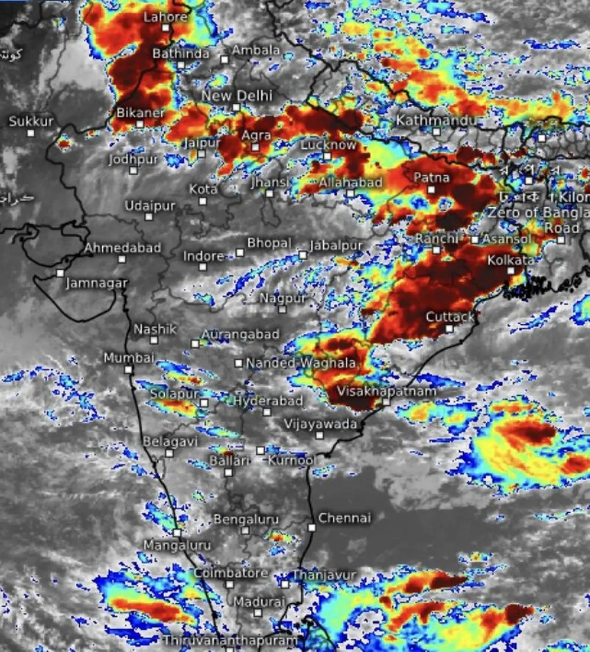
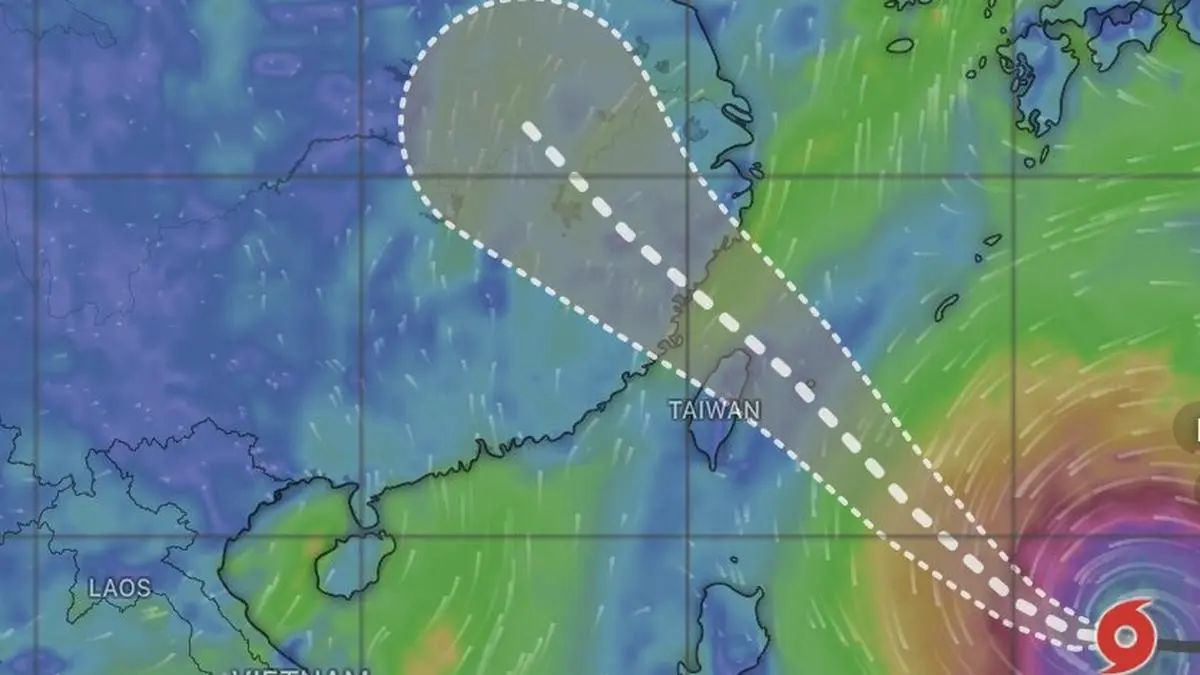
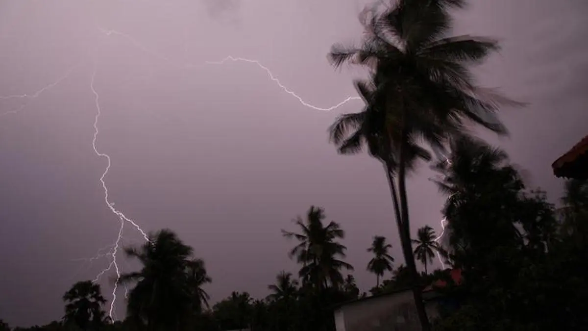
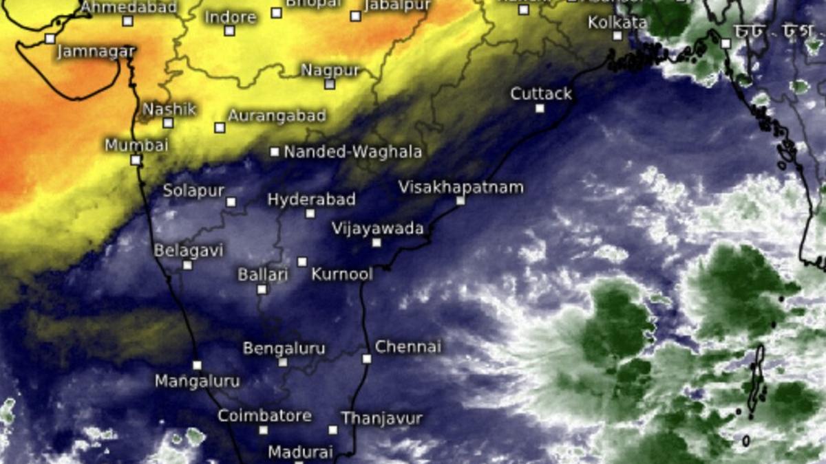
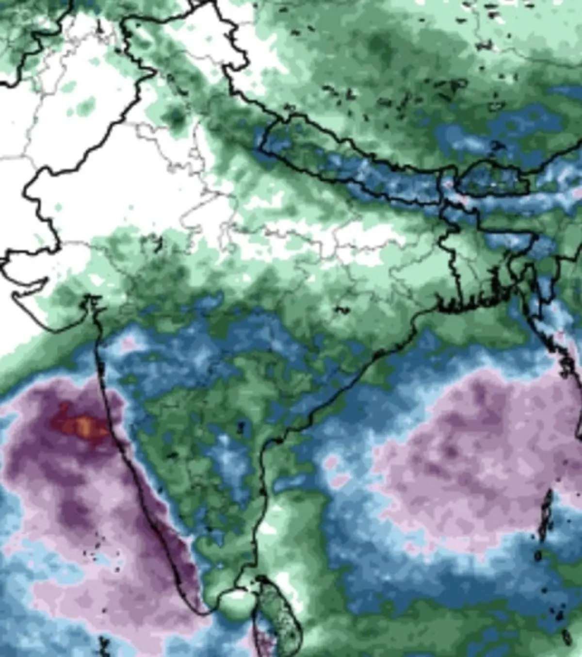
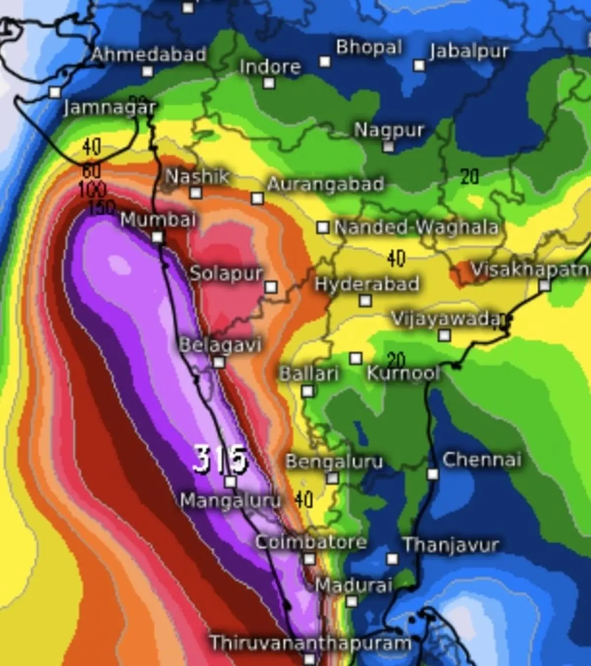
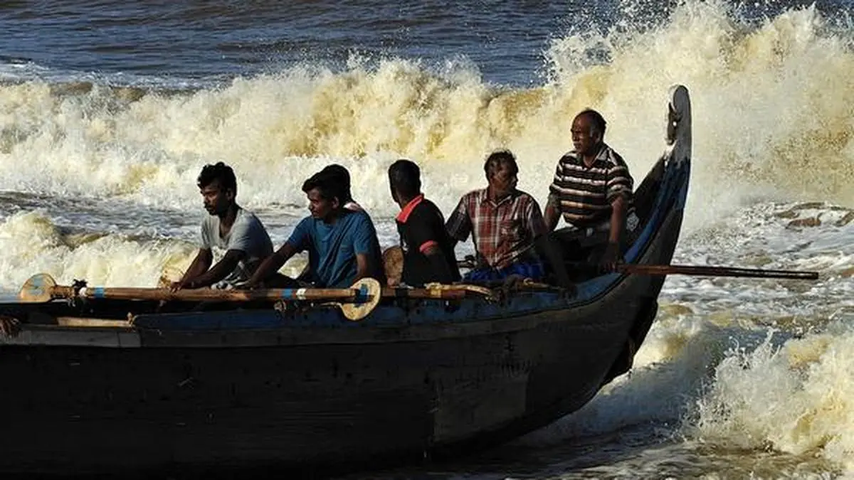
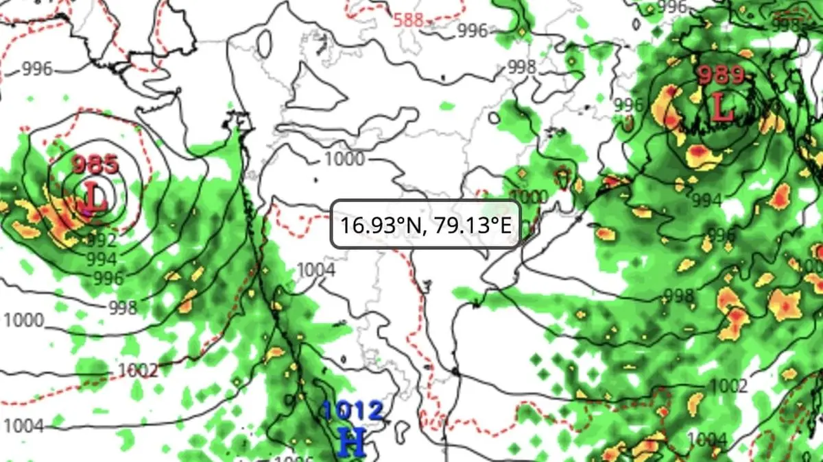
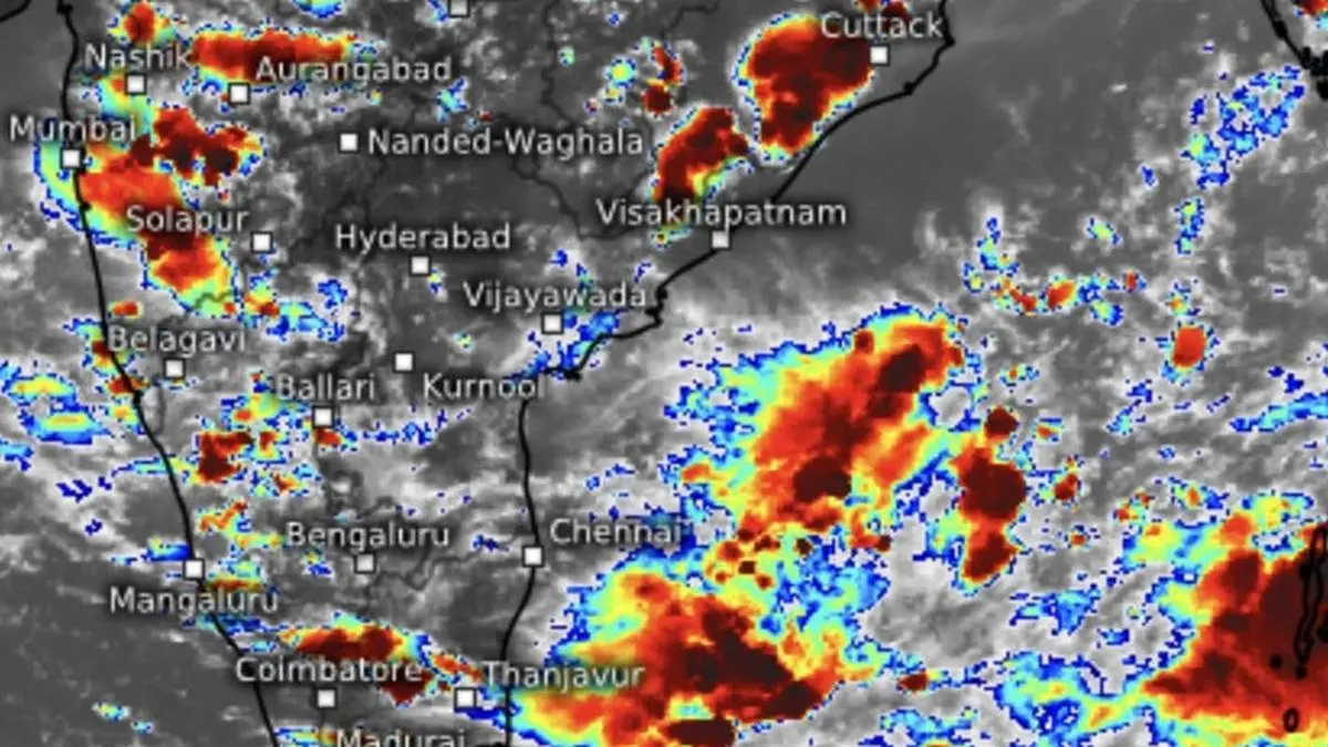
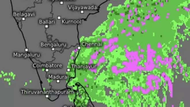
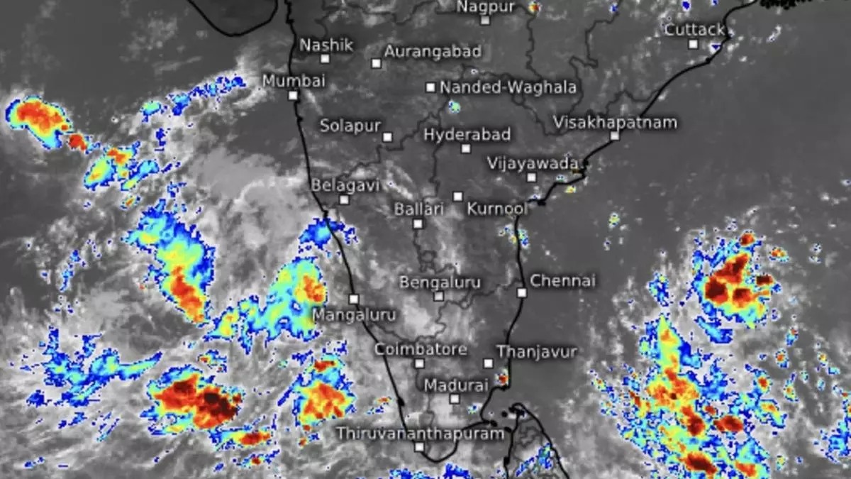
Sunday’s depression gathered steam at accelerated pace overnight on Monday and intensified twice over to become cycloneArnab, the first of this north-east monsoon, over the east-central and adjoining south-east Bay. Moving at a brisk 15 km/hr early on Monday, the system is expected to intensify further into a very severe cyclone, putting the Andhra Pradesh coast squarely in the firing line.
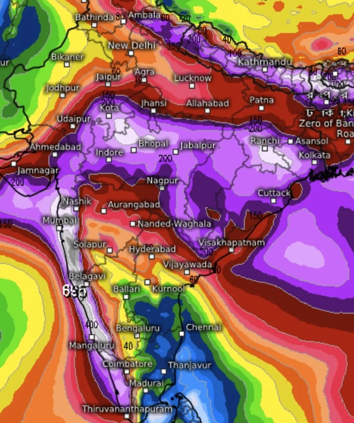
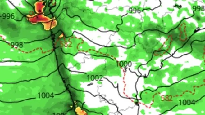
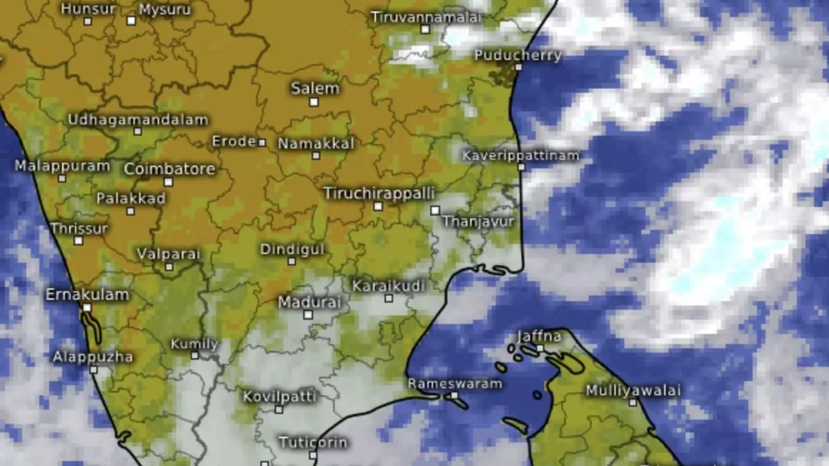
The India Meteorological Department (IMD) located the storm about 650 km east-south-east of Visakhapatnam; 730 km east-south-east of Kakinada; 830 km east of Machilipatnam; and 910 km east of Bapatla, all in Andhra Pradesh. The cyclone is forecast to barrel west-north-west, strengthen into a severe cyclone over the west-central Bay by midnight and a very severe cyclonic storm over the same region on Tuesday. It is then expected to swing north-westwards and cross the Andhra Pradesh-Yanam coast between Bapatla and Visakhapatnam by Wednesday morning, packing maximum sustained winds of 115-125 km/hr, gusting to 140 km/hr.
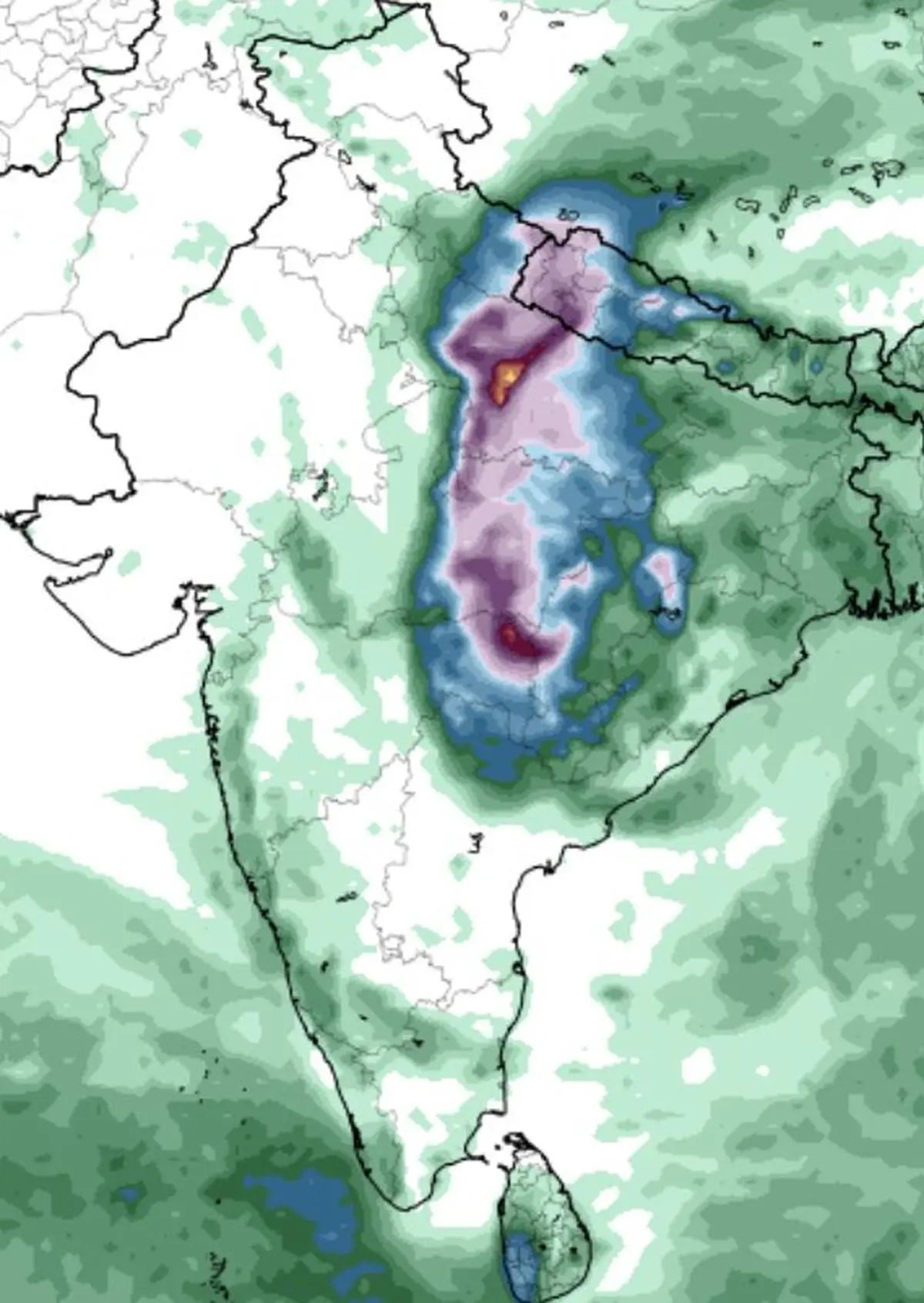
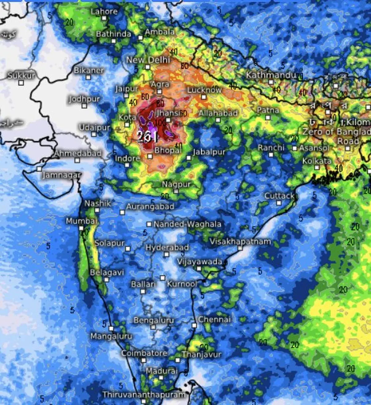
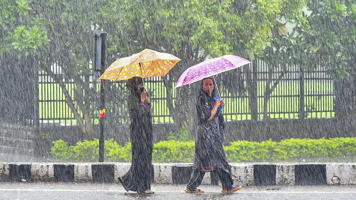
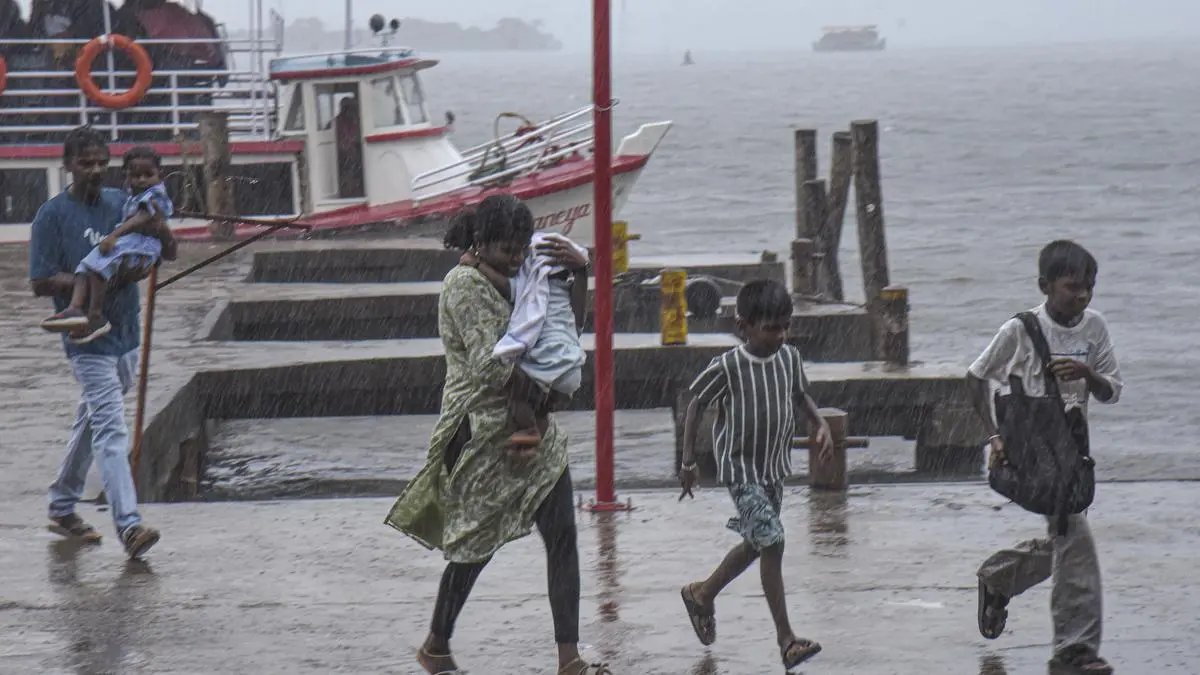
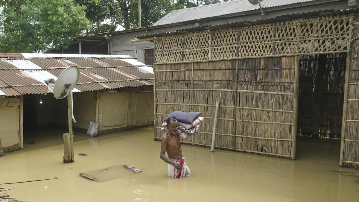
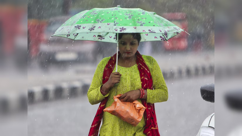
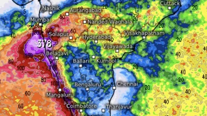
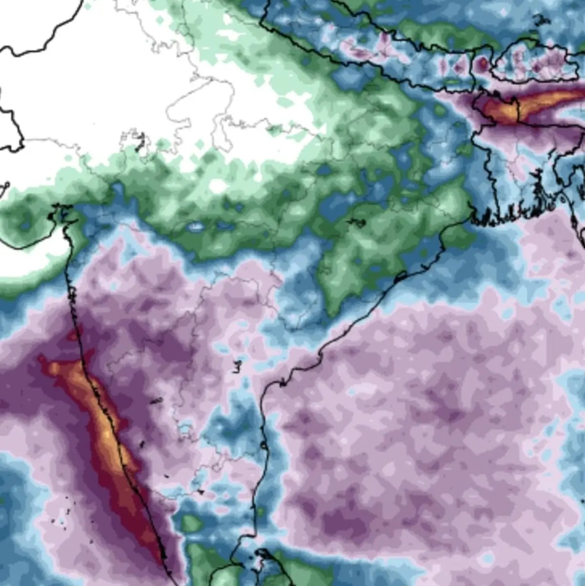
The cyclone’s landfall, however, will be far from the end of the story. Although it will lose some punch after moving ashore, Arnab is expected to track north-north-eastwards, dragging a sprawling rain across large swathes of eastern and central India. Extremely heavy to very heavy rainfall, with heavy spells in several areas, is forecast across Odisha, Telangana, Chhattisgarh, Jharkhand, Bihar, West Bengal, Vidarbha, east Madhya Pradesh and east Uttar Pradesh over the three to four days beginning Wednesday.